
Home
Smithfield Canyon Ski/Snowshoe, 29 February, 2020
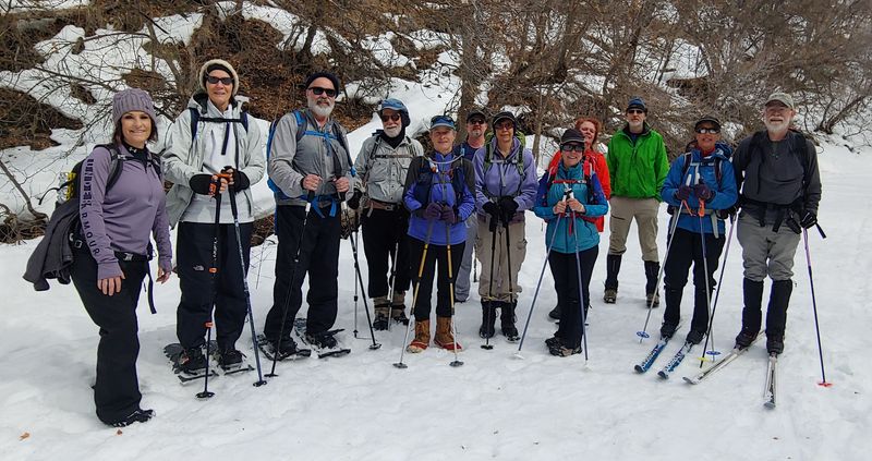
Thirteen hikers turned out for the Smithfield Canyon outing on Saturday. Twelve of us met at 10 a.m. and drove north to Smithfield. Jack met us at the trailhead. Two of the hikers were on skis and the rest on snowshoes or simply boots, with or without trail crampons ("spikes"). The weather was quite warm and the snow was fairly crusty at first but softened as the day progressed.
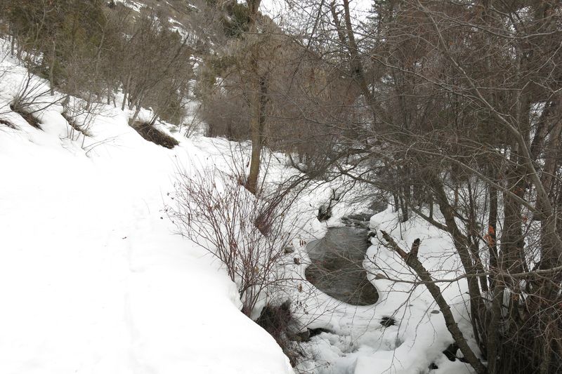
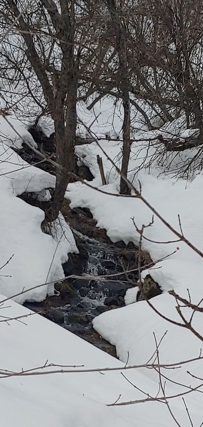
The trail followed an old road beside Summit Creek and was mostly snow covered, although there were a few bare spots. On the way up we stopped to observe trout in a pool and we heard canyon wrens, too. A bald eagle flew overhead on our way back.
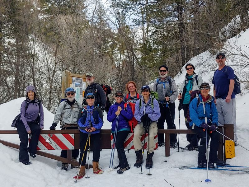
The group spread out along the way but eventually we all reached the gate at the summer trailhead about 12:20, 2.4 miles from our start. After a group photo we enjoyed lunch in a sunny area nearby.
The snow had softened during the day, which caused the "booters" to sink a bit and encouraged some who had carried snowshoes to don them for the trip down.
Trip Summary:
- Thirteen
participants: Tawnya, Lynne, Brent, Dave P.,
Susan, Chris, Laurel, Kathy, Michelle, and Dan
(leader), Jane, Dave Wallace, and Jack
- Organized
carpools and drove 12 miles to the Forest Boundary in
Smithfield Canyon
- Started on
the trail about 10:45, at the gate at 12:20, lunch
12:30 - 1:00, back at the trailhead at 2:15 and Logan
by 3:00
- Overcast skies and warm temperatures
- About 4.75 miles and 650 feet of ascent & descent
Thanks to Dan for the narrative and photos, Tawnya for photos and Dave Wallace for photos and GPS data.
 |
|
| Cache Hikers on the trail |
|
 |
|
| The trail
followed along Summit Creek |
|
 |
 |
| Summit Creek views |
|
 |
 |
| On the trail |
We turned around at the gate |
 |
|
|
Our GPS track shows about 4.75
miles and 650 feet of ascent and
descent.
You can look at our route using Google Earth or download our GPS file.. |
|