
Home
Smithfield Canyon, 8 February, 2026
Trip Summary:
- Eleven Hikers: Susan, Dave W, Christine, Sue, Bruce, Jane, Brent J, Dave P, Ralph, Jack (at the trailhead) and Catherine (leader)
- Drove 12
miles to the Smithfield Canyon winter trailhead
- Started hiking about 10:35, lunch about 12:15, back at the trailhead 1:30
- Clear skies
and warming temperatures
- Traveled 4.9 miles with about 630 feet of ascent (4.5 miles and 530 feet for the "amblers")
Thanks
to Dave P, Sue, and Jane for photos and Dave W and
Ralph for photos and GPS Data
 |
 |
||
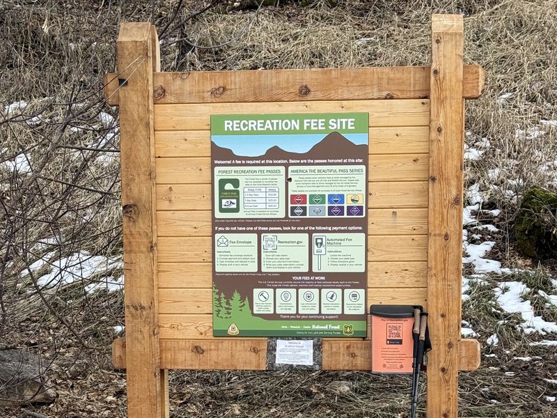
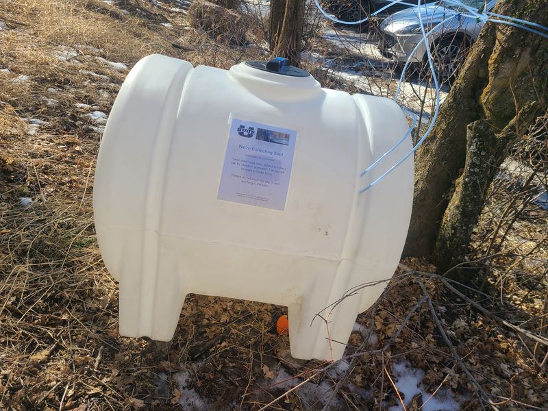
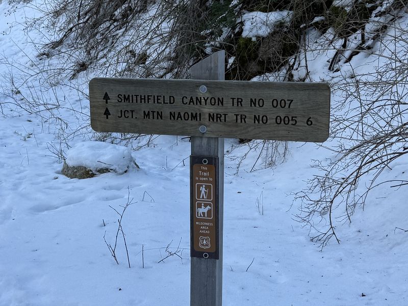
| The Winter
Trailhead featured information about new user fees
and a USU maple sap collection system |
|||
 |
|||
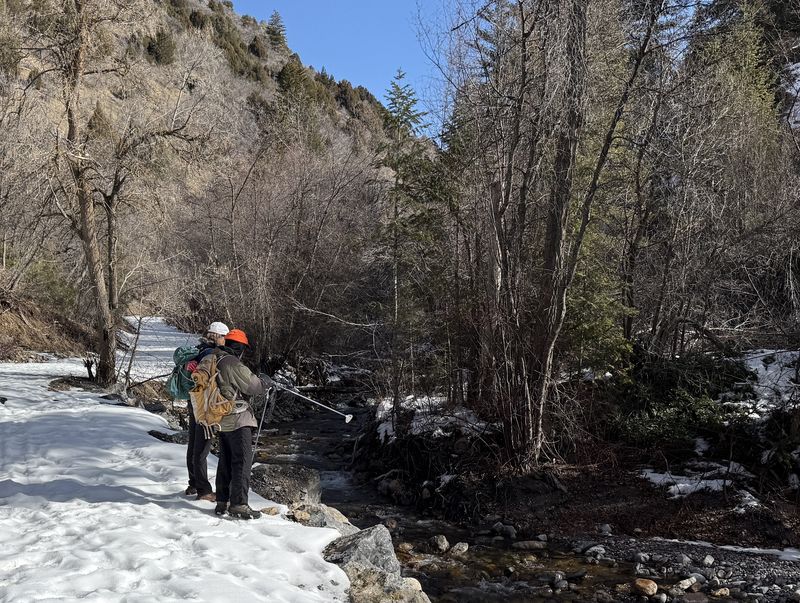
| Observing Summit Creek from the trail | |||
 |
|||
| Booting up the
trail |
|||
 |
2026.jpg) |
||
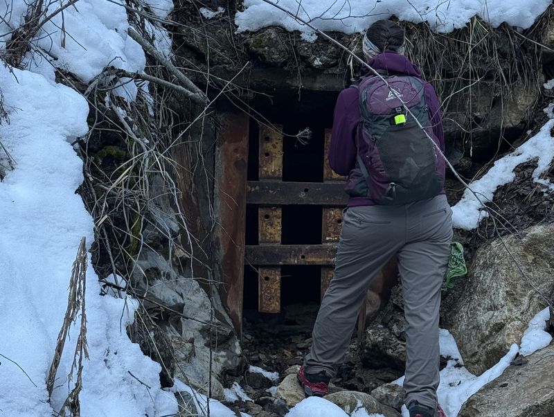
| We were not able to learn the story behind these trailside tunnels | |||
2026.jpg) |
 |
||
| A vandalized kiosk at the summer trailhead | The trail continues all the way to
Tony Grove |
||
 |
2026.jpg) |
||
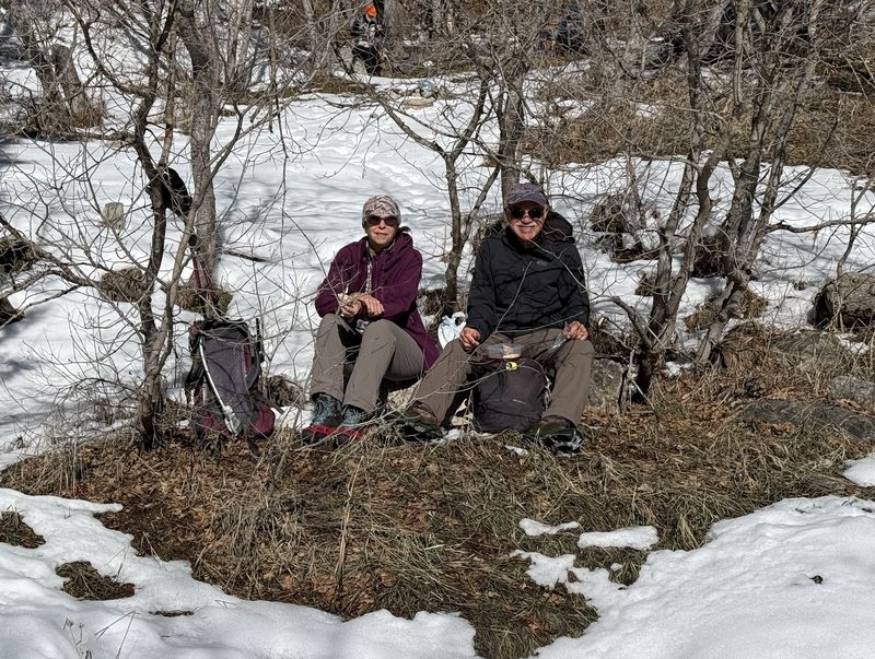
| Hikers
dispersed in a sunny area for lunch |
|||
2026.jpg) |
|||
| Heading down the trail after lunch |
|||
 |
|||
|
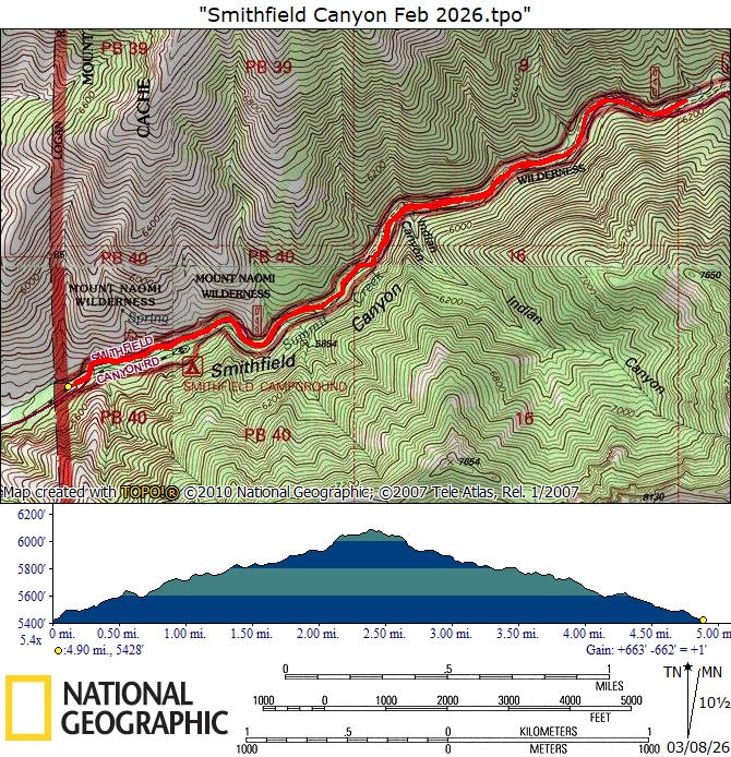
Our GPS track shows about 4.9 miles
and 630 feet of ascent.
You can look at our route using
Google
Earth or download our GPS file.
|
|||