
Home
Spring Hollow, 8 March 2026
Trip Summary:
- 15
participants: Laurel, Bruce, Deb, Sue, Teresa,
Dave P, Susan, Nate, Kathy, Annabelle, Jane,
Christine, Dave W, Ralph, and leader Brent L
- Drove 7
miles to the Spring Hollow Campgound parking area
- Started
hiking about 10:30, lunch at Gus Lind Flat 12:20 -
12:50, ended 1:25 ("amblers" started out a half-hour
earlier to accommodate slower hiking speeds)
- Trails were dry at hike beginning and end, with mud and snow in the middle
- Traveled on
four different Forest Service trails: Spring
Hollow, Mill Hollow, Bridger Look-Off, and River
- Everyone "booted", and some used trail crampons for the snowy section
- Hiked about
3.7 miles with about 700 feet of ascent
Thanks
to Ralph, Jane and Dave P for photos, and Dave W and
Ralph for GPS data
 |
|||
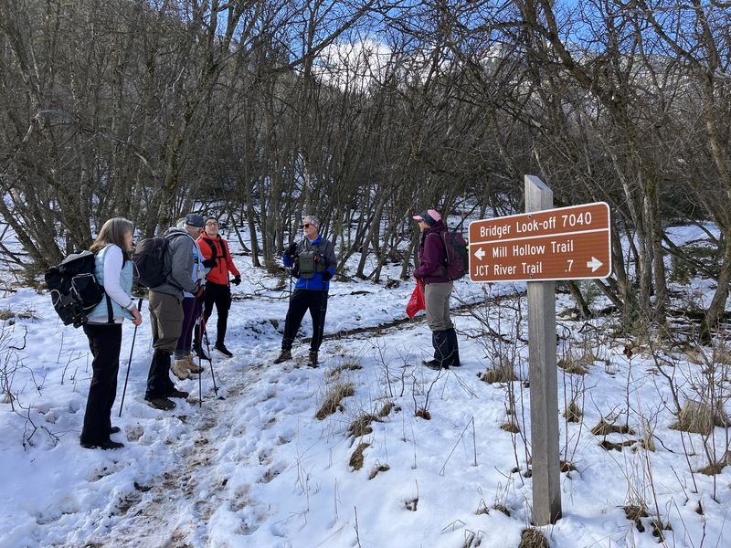
| The Mill Hollow - Bridger Look-off Trail junction | |||
 |
2026.jpg) |
||
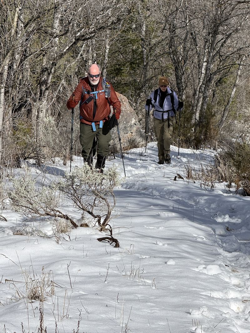
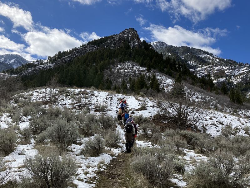
| Hiking up the Mill Hollow Trail in snow | |||
 |
|||
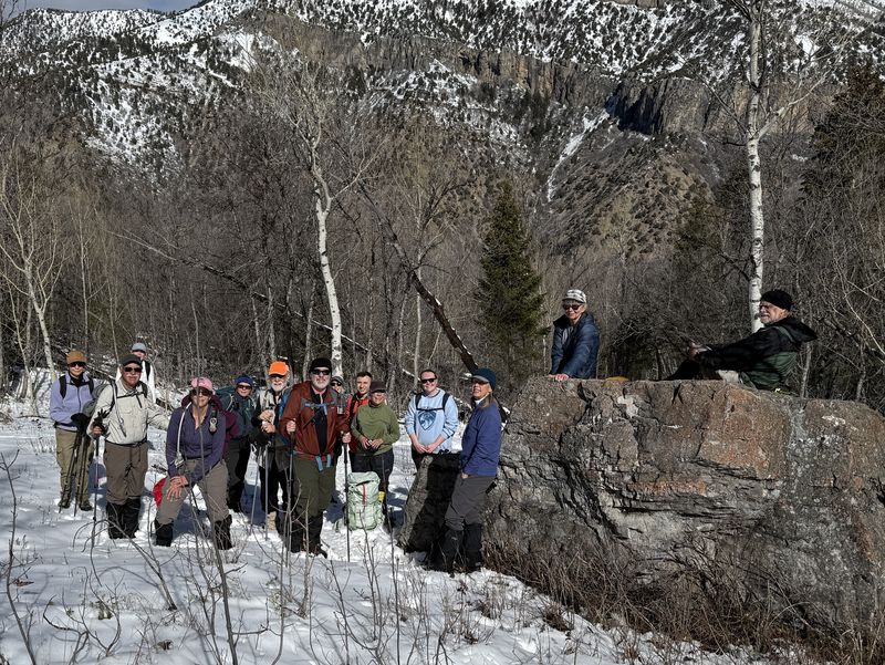
| Our turn-around spot in Mill Hollow | |||
 |
 |
||
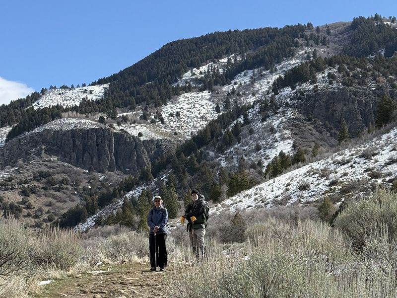
| Two "amblers" on the Bridger Look-off
Trail |
Most hikers took a side trip to the "Look-off" viewpoint | ||
2026.jpg) |
|||
| Looking west
toward Cache Valley from the Bridger Look-off
Trail |
|||
 |
 |
||
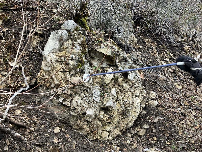
| An interesting rock along the Spring
Hollow Trail |
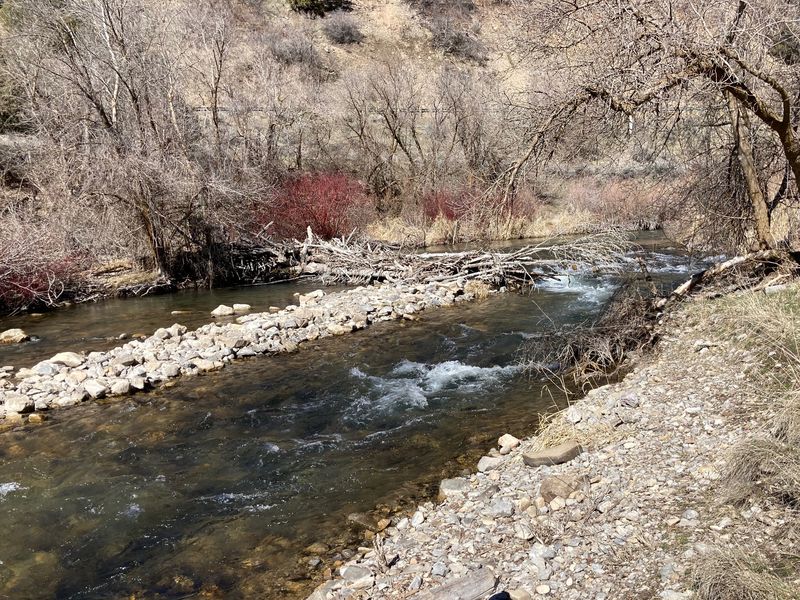
Flood debris changed the course
of the Logan River near the River Trail |
||
 |
|||
|
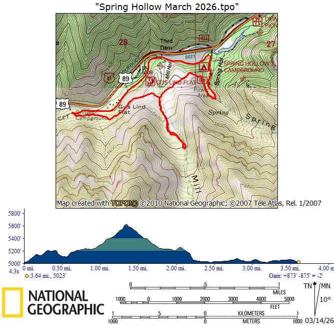
Our GPS track shows about 3.7 miles
and 700 feet of ascent.
You can look at our route using Google
Earth or download our GPS file.
|
|||