Home
Stump Hollow Ski/Snowshoe, 26 January, 2025
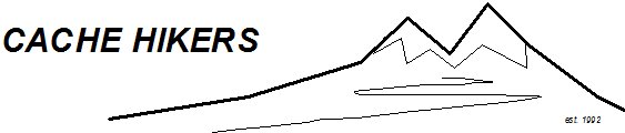
Twenty-one skiers and snowshoers turned out for this winter outing in upper Logan Canyon. We left our meeting place (Smith’s Marketplace parking lot) at 10:10 am and drove up to the small parking area at the Beaver Mountain turnoff (Hwy. 89 and SR-243 junction). We crossed Hwy. 89, put on our equipment, and set off on the trail at about 11:00 a.m.
At 0.3 mile from the trailhead, the trail splits, with the old jeep trail (lower fork) in the Stump Hollow drainage bottom and a newer (official) Great Western Trail segment (upper fork to the right) running parallel above the drainage. The routes merge after 2/3 mile. We took the upper fork on the way in, skiing/snowshoeing another mile past the trail junction before stopping for lunch (12:30 – 1:00 pm.). A couple of snowshoers continued on another 1/3 mile to a meadow before turning back. On the way out, we took the lower fork in the drainage bottom and reached the parking lot at about 2:00 pm.
It was a bluebird day with temperatures in the low to mid 20s, no wind, and about 2-3 inches of new snow. On the trail, we passed through open meadow, aspen, and mixed conifer communities. We didn’t see much in the way of active wildlife, by we did see snowshoe hare and shrew tracks in the snow.
Trip Summary
- 21 skiers/snowshoers: Dave P, Kathy, Susan, Dave W, Jane, Ralph, Michelle, David, Teresa, Linda, Brent L, Brent J, Ophelia, Bruce, Sue, Hiro, Deb, Koty, Brynn, Jesse, and Chris (leader).
- Drove 25 miles to Beaver Junction Picnic Area and Winter Trailhead.
- Started on the trail at 11:00 am., ate lunch from 12:30-1:00 pm., back to parking area by 2:00 pm, and back to Logan by 3:00 pm.
- Traveled about 4 miles (round trip) with an elevation change of about 600 feet.
- Clear, non-windy day with temperatures in the low to mid 20s.
Thanks
to Chris for the narrative and photos, Dave W, Dave P,
for photos, and Ralph for photos and GPS data, and
thanks to David for the YouTube
video.
 |
|||
| The Stump Hollow Trailhead | |||
 |
|||
| On the Stump Hollow Trail | |||
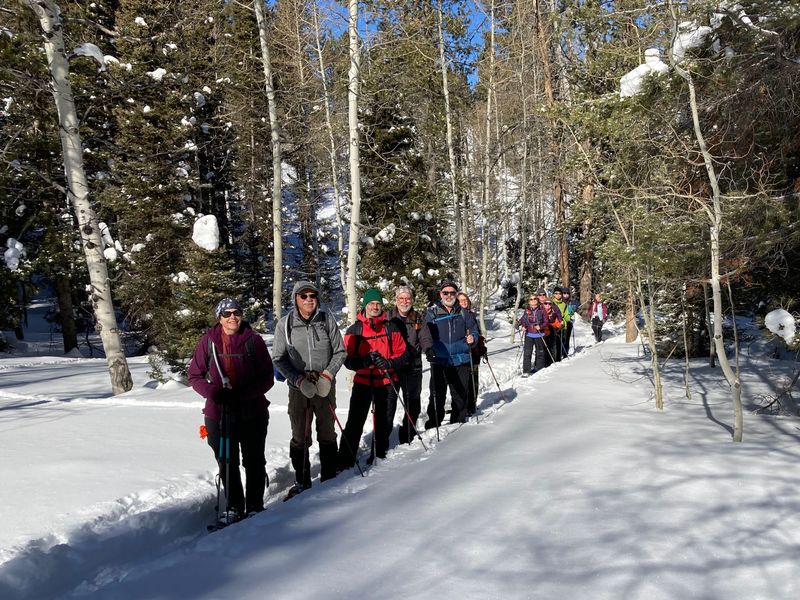
 The "Eagles Roost" toward the east (along with noisy helicopter and snowmobile activity) |
|||
 |
 |
||
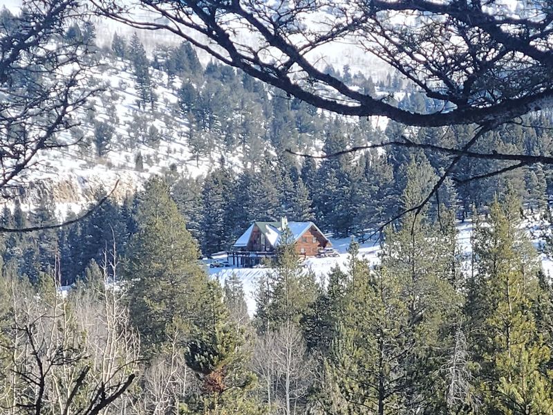
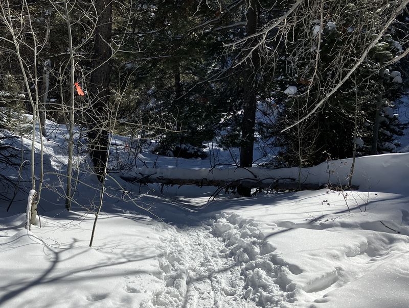
| The official
trail was getting a lot of use (left), although
there was a log blocking the way (right) |
|||
 |
 |
||
| Our sunny lunch spot |
A couple of snowshoers continued
another 1/3 mile |
||
 |
 |
||
| Possible shrew tracks |
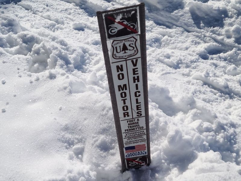
"No Motor Vehicles" also means
no E-bikes |
||
 |
|||
|
Our lunch spot (blue) was
about 3.4
miles with about 600 feet
of ascent, those who went farther (red) traveled 4.1
miles with nearly 800 feet of
ascent. You can
look at our route using
Google
Earth or download our GPS file.
|
|||