Swan Peak, 11 August, 2019
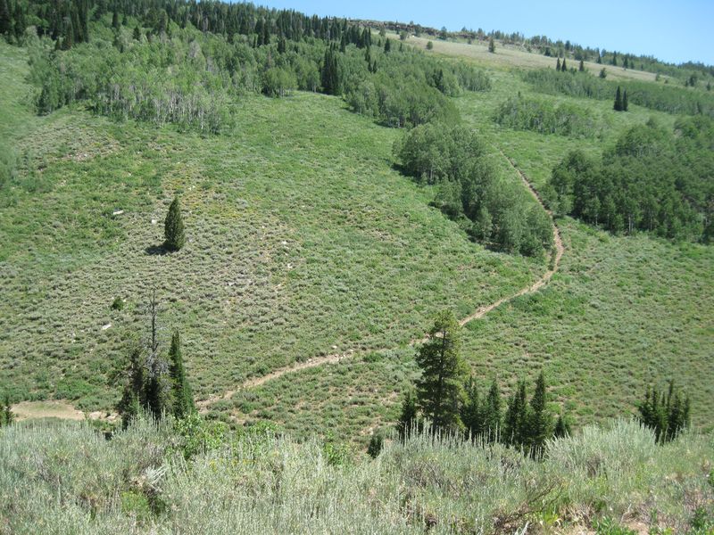
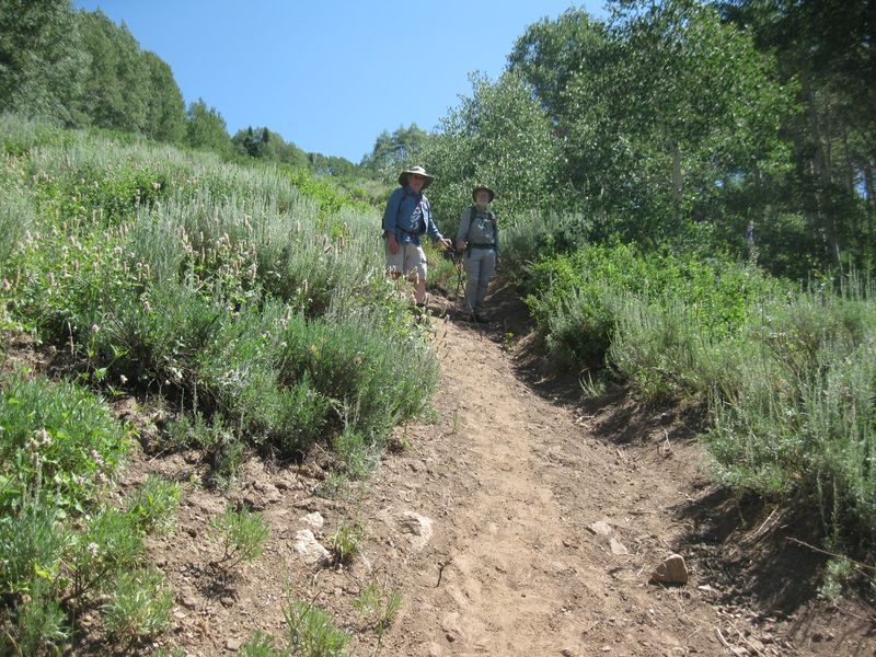
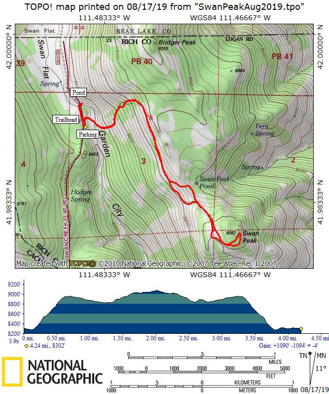
Nine hikers took a short but interesting hike on a little used trail to Swan Peak in Rich County. The trail started off in sagebrush and transitioned into aspen as it gained 650 feet in the first half-mile (no switchbacks), then moderated as it paralleled a ridge. Along the trail below the ridge, we found a large slab of fucoidal quartzite with well-defined burrows created by ancient marine worms 400 million years ago. Looking westward, we could see several other mountain peaks in the area, including Gog, Magog, Naomi, Elmer, and Beirdneau. The trail continued up into mixed conifer/aspen forest and eventually reached the top of the peak, where hikers were rewarded with a panoramic view of Bear Lake while eating lunch.
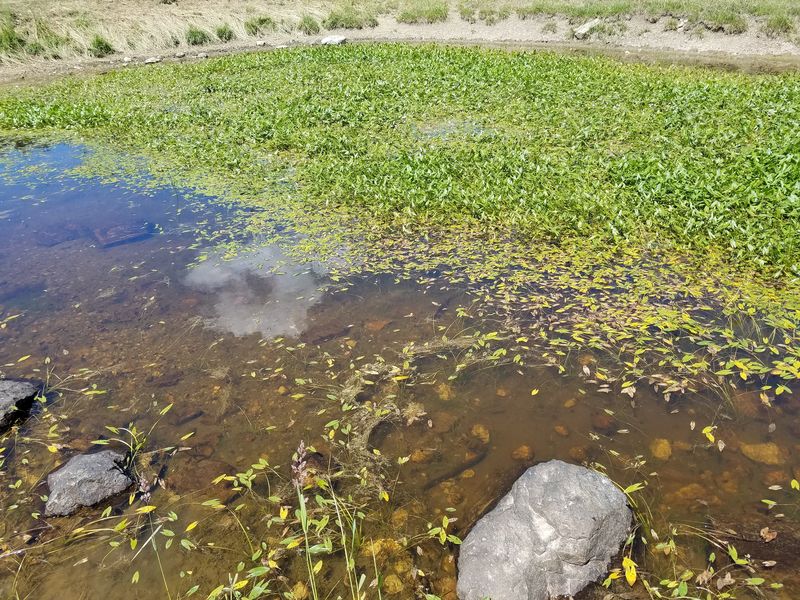
On the return trip, we took a branch trail to visit a small pond just east of the main trail. There were numerous sheep at the pond, and we were “greeted” by four Great Pyrenees guard dogs. We immediately headed back to the main trail as the dogs barked and challenged our intrusion. The remainder of the hike was uneventful, including walking straight down the 650-foot slope at the end. After arriving at the trailhead we walked 500 feet to the north to a pond where we unsuccessfully looked for salamanders (but we did see garter snakes, tadpoles and a small frog).
Trip Summary:
- Participants: Dave W., Jane, Dave P., Lucia, Laurel, Dick, Denis, Susan, and Chris (leader).
- Drove 28 miles to the Swan Flat Road turnoff, then 3.8 miles to the trailhead.
- Started hiking about 9:15, had lunch on peak 10:45-11:15; back to trailhead by 12:45; and back to Logan by 1:50.
- Clear skies and pleasant conditions; a bit windy at times.
- About 4 miles with 900 feet of ascent
Thanks for Chris for the narrative, Jane, and Dave P. for photos and Dave W. for photos and the GPS data.
|
|
| The Swan Peak trail heads steeply uphill for 1/2 mile | |
2019.jpg) |
|
| Fucoidal quartzite (rock with fossil worm tracks) | |
 |
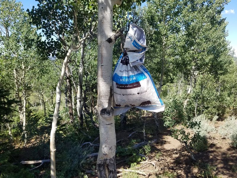 |
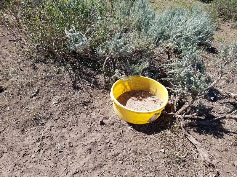
| Sheepherders put salt along the trail for their herd | |
2019.jpg) |
|
| Lunch on Swan Peak | |
2019.jpg) |
|
Bear Lake panorama view,18 miles from end to end |
|
|
|
| Hiking down the steep, eroded trail | |
 |
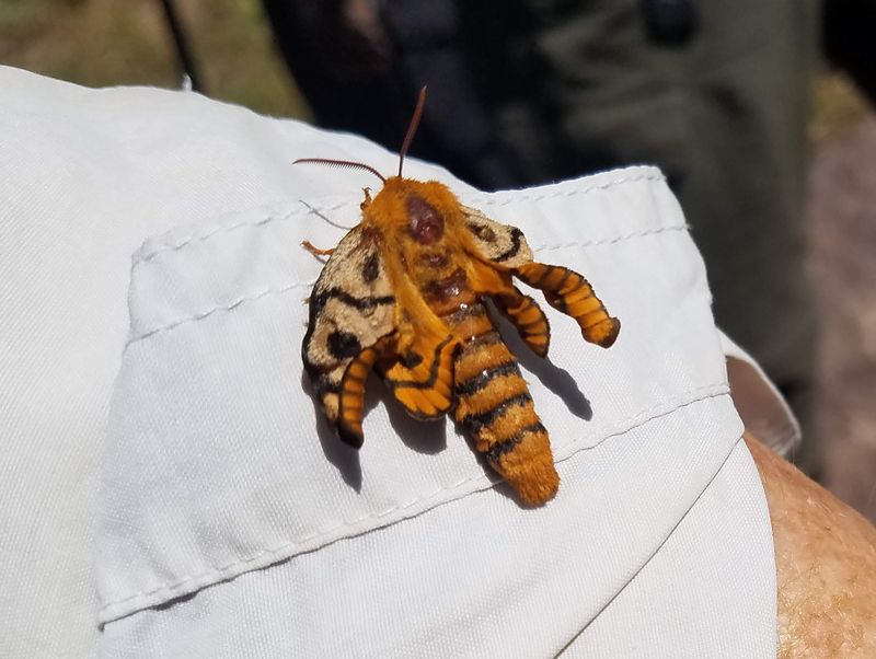 |
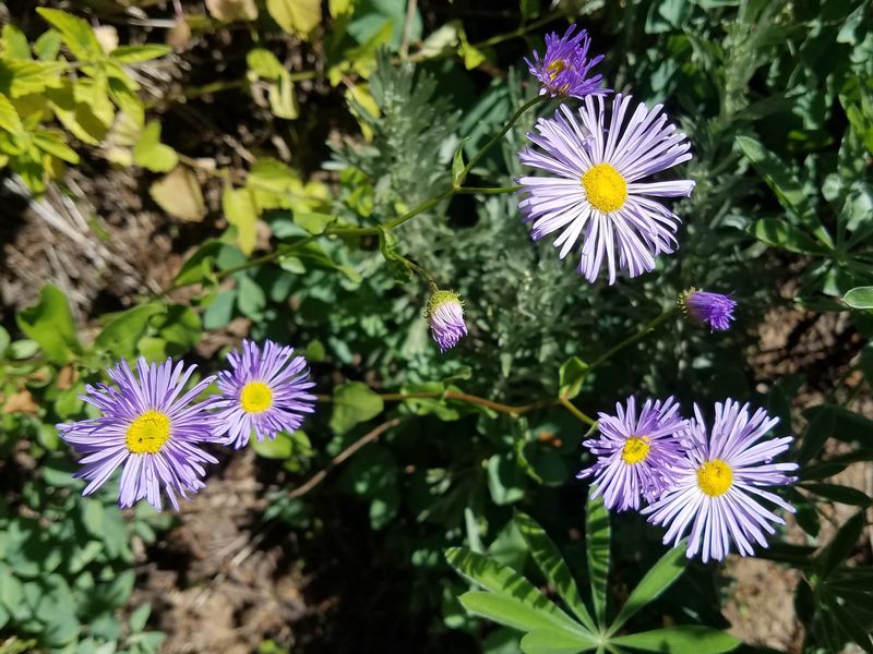
| Fleabane daisy | Sheepmoth with deformed wings |
 |
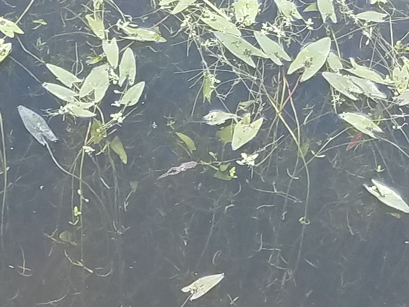 |
| A pond near the trailhead | A small frog in the pond |
 |
|
| Our GPS track shows about 4 miles and 900 feet of ascent and descent | |
You can look at our route using Google Earth or download our GPS file. |
|