Home
Swan Peak, 27 September, 2026
(Narrative in progress)
Trip Summary:
- Fourteen hikers: Brent L., Dave P, Kathy, Ralph, Matt, Kiah, Stephanie, Stevie, Richard, Eugene, Gene, Deb, Ocean and Brent J. (leader).
- Drove 35 miles to the trailhead on Swan Flat Rd.
- Started hiking at 9:10 am; lunch from 10:50 to 11:15 am; completed hike at noon.
- Great hiking conditions: partly cloudy skies, mild temperatures, fall colors, mild breezes.
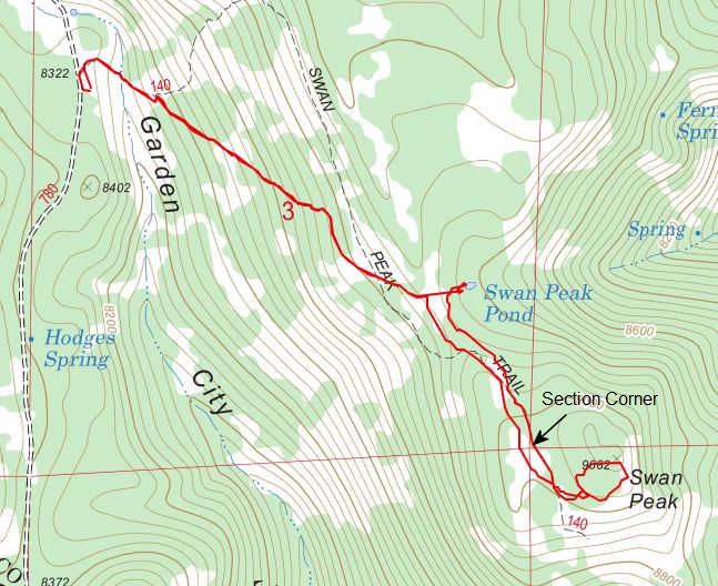
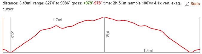
- Approximately 3.5 miles and 950 feet of elevation gain
Thanks
to Dave P, Kathy, and Richard for photos and Ralph for
photos and GPS data.
 |
|||
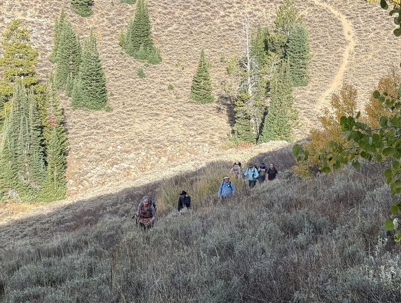
| The beginning of the climb toward Swan Peak | |||
 |
|||
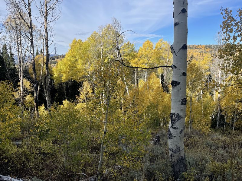
| Colorful aspen
trees along the trail |
|||
 |
|||
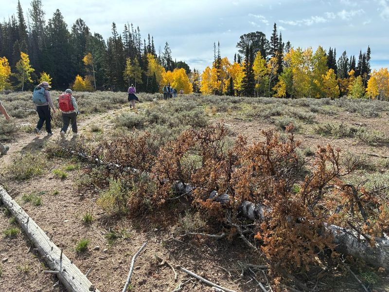
| Hiking on the Swan Peak Trail | |||
 |
 |
||
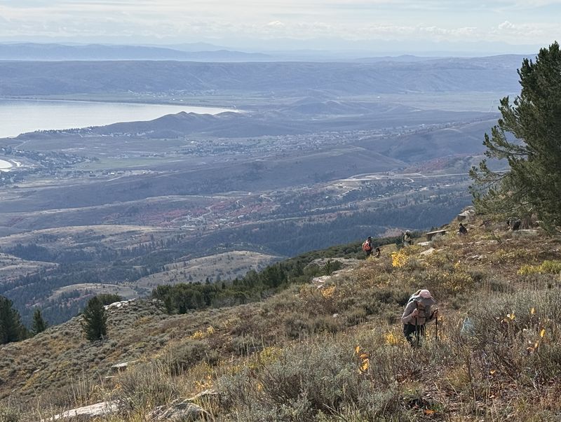
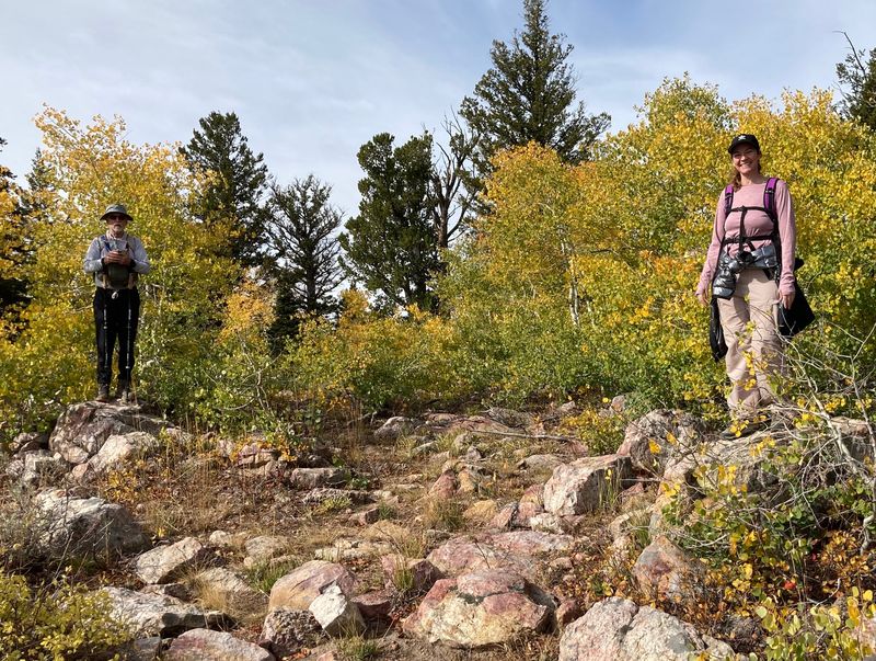
| Approaching the peak | Which person is on the highest spot? | ||
 |
|||
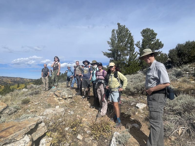
| Swan Peak hikers | |||
 |
|||
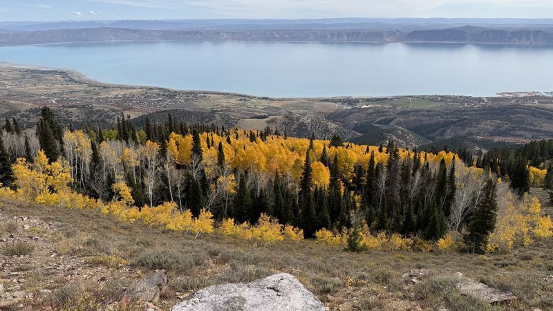
| Looking east
over Bear Lake |
|||
 |
|||
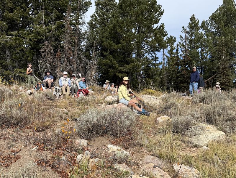
| Lunch with a view | |||
 |
|||
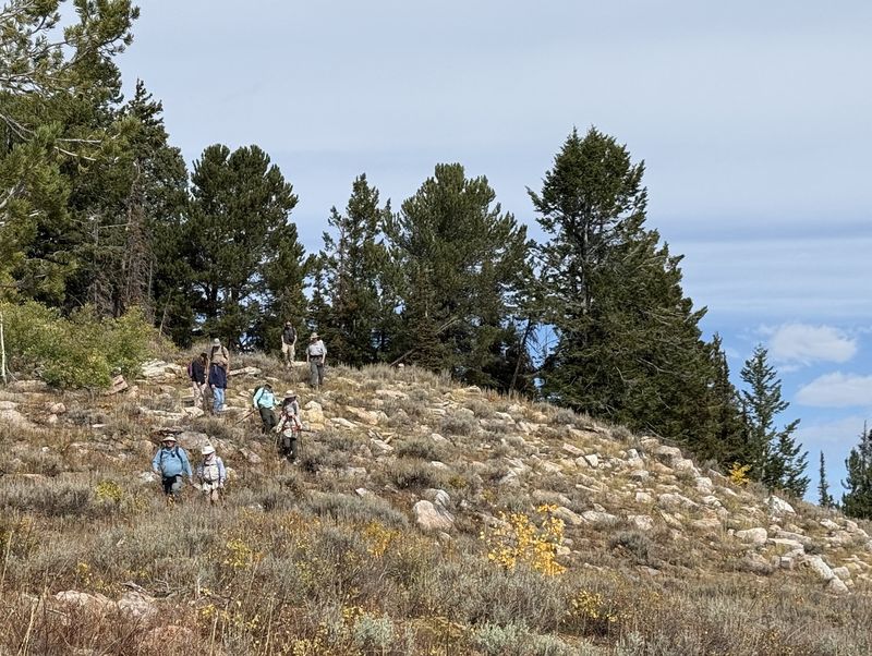
| Starting down after lunch | |||
 |
|||
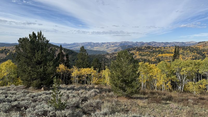
| Looking west toward the main ridge of the Bear River Range | |||
 |
|||
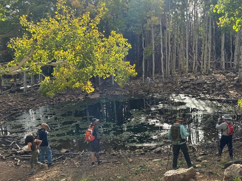
| Swan Peak Pond | |||
 |
 |
||
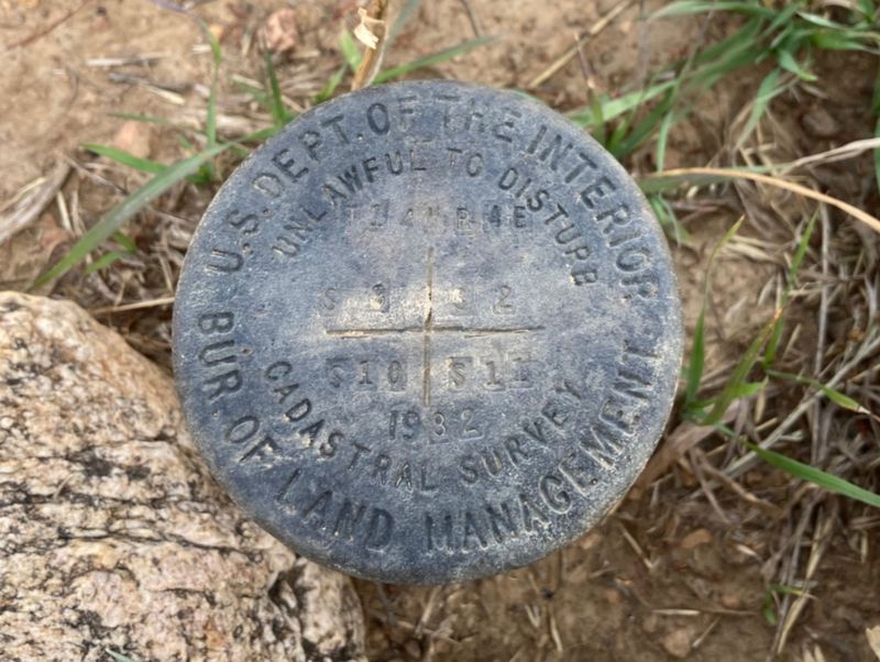
| Section corner mark near Swan Peak
(see map, below) |
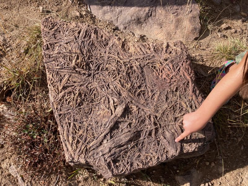
Fossil worm tracks? |
||
 |
|||
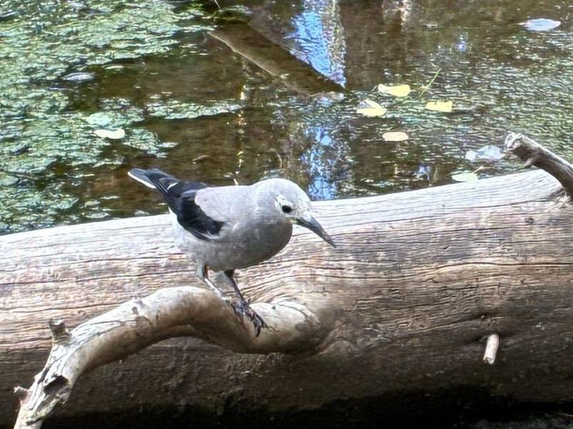
| Clark's Nutcracker |
|||
  |
|||
|
Our GPS track shows about 3.5 miles
with about 950 feet of ascent.
|
|||