Home
Dry Canyon/Syncline South Hike, July 13, 2014
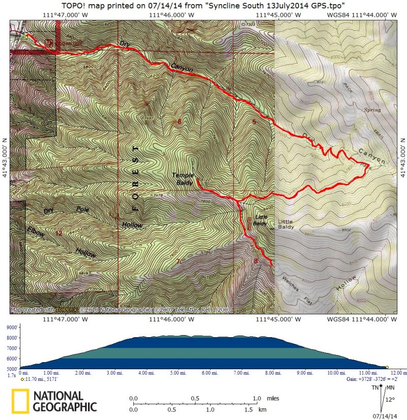
We started out at the Dry Canyon trailhead at 8:40 a.m. with 11 hikers: Dave P., Dave W., Ron F., Kris, Jane, Alex, Stephanie T., Allie, Patrick, Alexi, and Dan, the hike leader. Four faster hikers went ahead at a faster pace, but the group rejoined at the junction with the South Syncline trail about 11:30 after 3.5 miles of uphill hiking. Dave P. had an early afternoon appointment, so he headed back to Logan and the rest of the group took the south trail as it followed the syncline contour around Logan Peak.
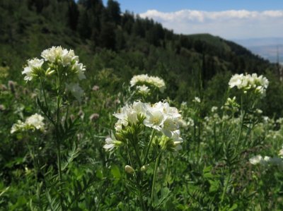
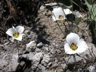
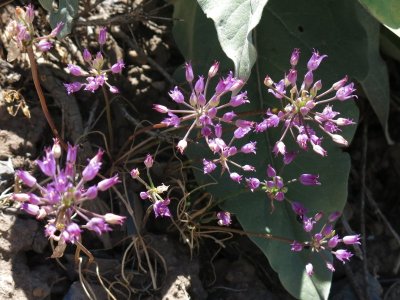
We enjoyed scenic views and many wildflowers along the way to our lunch spot above Welches Flat and overlooking Providence Canyon and the south end of Cache Valley. Some of the hikers snacked on the wild onions growing here. We also heard shooting from Providence Canyon, below. After lunch Dave W, Ron, Patrick and Dan took a quick side trip to Temple Baldy, affording views of the Logan Peak, Beirdneau Peak, Mount Jardine, Mount Elmer, the Wellsville Range, Oxford Peak, and Clarkston in the distance. Abundant sego lilies along the way were an unexpected reward.
We all met back at the syncline junction and headed back down after a short rest. The trees changed from aspen and fir to maple as we descended toward Logan and the air temperature climbed.
Trip Summary:
(Thanks to Dan for the narrative and GPS work, and Dan and Dave W. for photos)
|
|
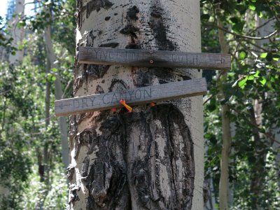
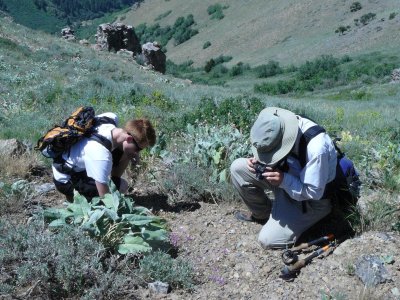
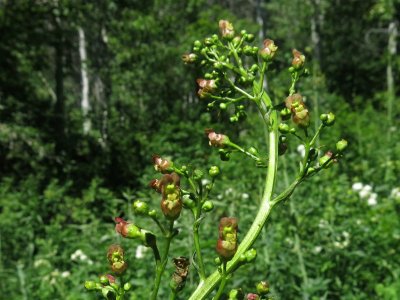
| Home-made trail signs at the junction | A botany lesson near our lunch spot |
|
|
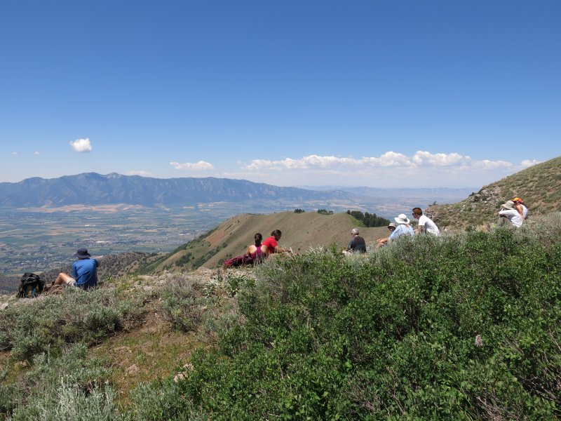
| Lunch overlooking Providence Canyon and Cache Valley | |
|
|
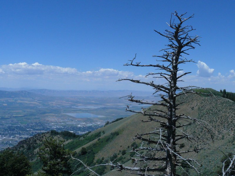
| Cache Valley view | |
|
|
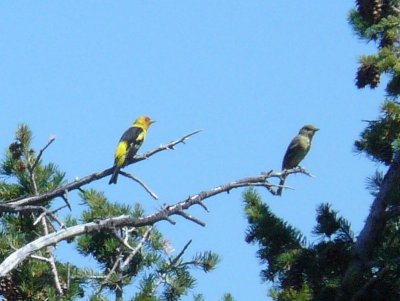
| Western Tanager | Jacob's Ladder |
|
|
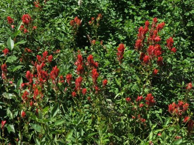
| Indian Paintbrush | Hare Figwort |
|
|
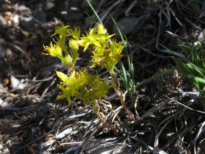
| Sego Lily | Stonecrop |
|
|
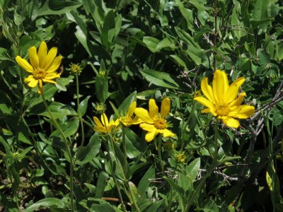
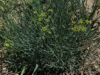
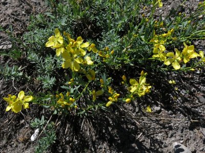
| Little Sunflower | Biscuitroot |
|
|
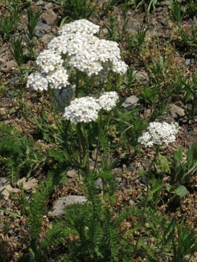
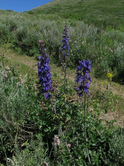
| Yarrow | Larkspur |
|
|
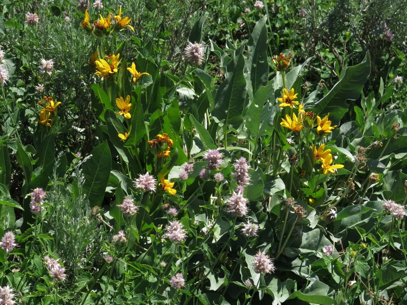
| Mulesear and Horsemint | |
|
|
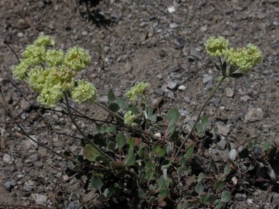
| Wild Onion | Buckwheat |
|
|
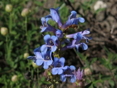
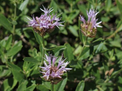
| Penstemon | Coyote Mint |
|
|
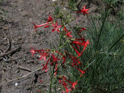
| Scarlet Gilia | Yellow Flax |
|
|
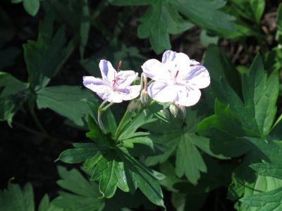
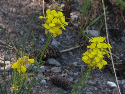
| Geranium | Wallflower |
|
|
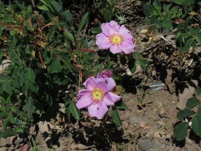
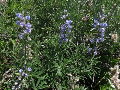
| Wild Rose | Lupine |
|
|
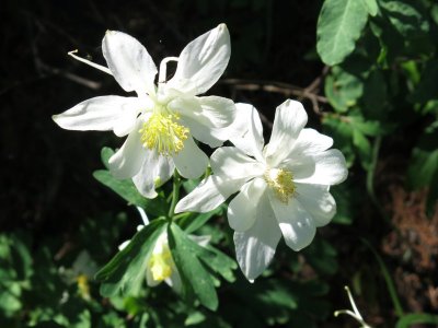
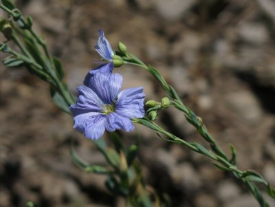
| Columbine | Blue Flax |
|
|
| Our trip totaled 11.7 miles (for those hiking to Temple Baldy), with more than 3000 feet of elevation. | |
|
|