Home
Temple Fork Sawmill, 12 June, 2022
We met at our usual Smith's Marketplace location and learned that Deanna, the scheduled trip leader, could not make it. After deciding that Dave W. would assume the leader role, we carpooled up to the Temple Fork trailhead. We anticipated a lot of hikers on the trail because of the large number of cars parked at the trailhead.
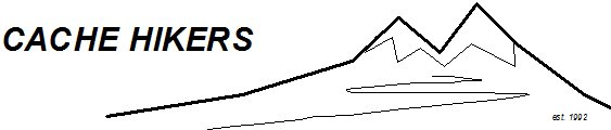
David rode a bicycle up the Temple Fork road while the others hiked up the Temple Fork Sawmill trail. We stopped periodically to observe points of interest along the way, including beaver dams, flowers, trail features and rock formations. At 9:35 we came to a bridge where David was waiting for us - he had ridden his bicycle 4.5 miles over gravel road and trail in less time than it took us to walk 1.5 miles, although I'm sure our experience was more enlightening.
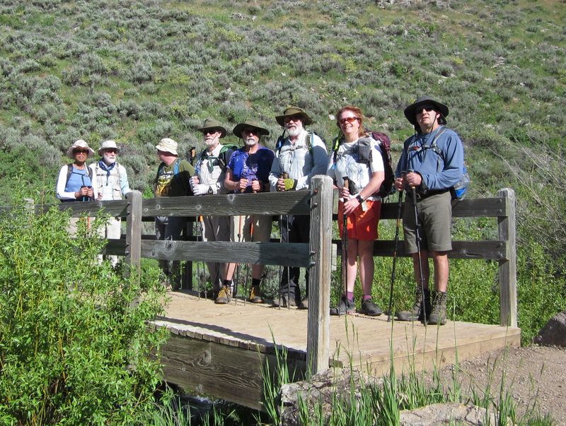
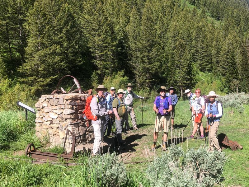
The trail turned to the east and the canyon narrowed as we continued upstream. We crossed the footbridge built last year by the Forest Service and arrived at the historic sawmill location about 10:30. A half-hour was spend exploring the nearby spring and trying the unmaintained part of the trail that heads east toward Temple Spring (this may be an interesting destination for a future trip). It was still too early for lunch, so we went down the trail three quarters of a mile to a place where we could enjoy relaxing near an old beaver dam.
After lunch we took time to observe spawning behavior among the cutthroat trout. Several fish, some of which were quite large, were swimming around in a wide, gravel-bottomed part of the stream. There seemed to be a lot of jostling for position. (There is a kiosk along the road about 1/3 mile before the trailhead with lots of information about the effort to restore Bonneville cutthroat trout to Temple Fork).
We kept track of the number of people encountered on the trail (including our group). There were 60 people on foot, from trail runners to families with small children, and one mountain biker. We also noticed the Spawn Creek Trailhead area was posted for no camping, so stockmen had set up their temporary corral and trailer at a location a bit farther down the road (we expect cattle will be here in the coming week).
Trip Summary:
- Ten Cache Hikers: Brent T., Michelle, David, Robert, Ralph, Jane, Brent J., Dave P., Young, and Dave W. (leader)
- Drove 19
miles to the Temple Fork trailhead
- Started
hiking 8:40, at the sawmill site 10:30, lunch 11:30 -
11:50, back at the trailhead at 1:00
- Clear skies and calm winds, temperatures were pleasant though unseasonably warm
- Encountered
60 hikers and one mountain biker on the trail
- Hiked about
5.6 miles with about 750 feet of elevation
Thanks to Dave W. for the narrative, photos and GPS data, and Dave P., Brent, Jane, and Ralph for photos..
 |
||
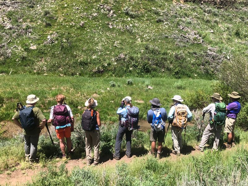
| Cache Hikers,
three quarters of a mile into the hike |
||
 |
||
| The entrance to a beaver den on the far shore is revealed by lower water level after a dam failure and partial repair | ||
 |
||
| The Forest
Service built a new footbridge across Temple Fork
Creek |
||
 |
||
| The monument and historical artifacts at the old sawmill site | ||
 |
 |
|
| Our lunch site near an old beaver
dam |
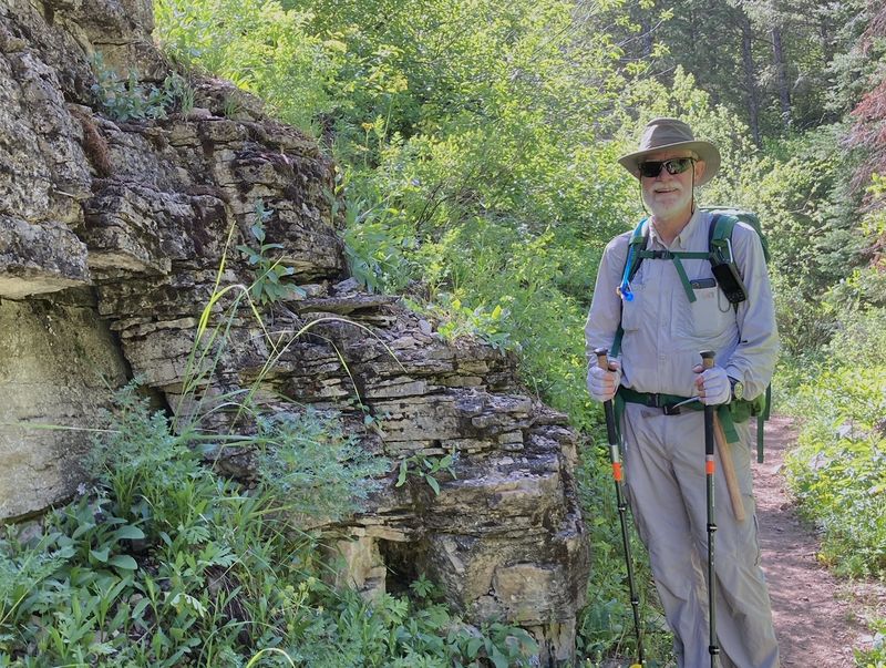
"Slabby" limestone
of the Garden City formation |
|
 |
||
| Cutthroat trout jockeying for
position |
||
 |
 |
|
| Trout watching |
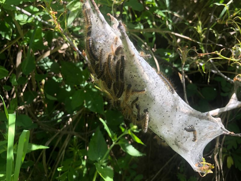
Tent caterpillars |
|
 |
 |
|
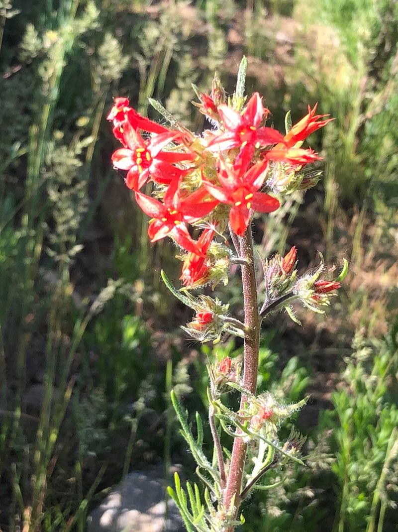
| Scarlet gilia, Gilia aggregata |
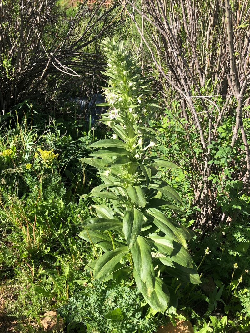
Showy gentian, Frasera
speciosa |
|
 |
 |
|
| Blue camas lily, Camassia quamash |
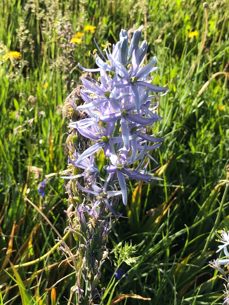
Wild hyacinth, Triteleia
grandiflora |
|
 |
 |
|
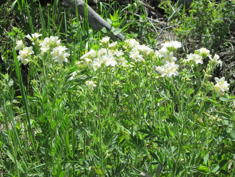
| Hare figwort, Scrophularia
lanceolata |
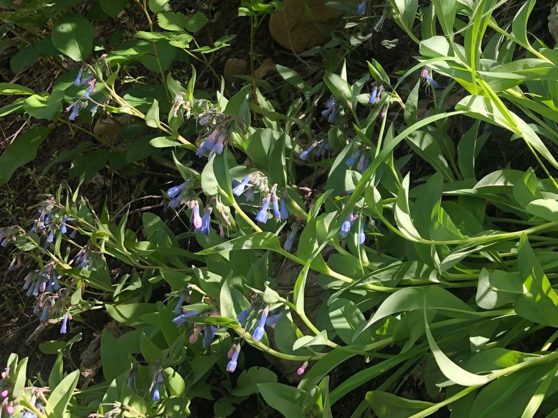
Bluebells, Mertensia
ssp. |
|
 |
 |
|
| Jacob's Ladder, Polemonium
foliosissimum |
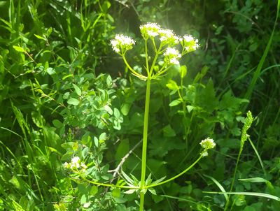
Western valerian, Valeriana
occidentalis |
|
 |
||
|
Our GPS track shows about 5.6 miles
and 750 feet of ascent.
You can look at our route using Google Earth or download our GPS file. |
||