Home
Temple Fork Sawmill, 29 June, 2025
Eighteen hikers and three dogs enjoyed a pleasant Sunday morning out and back exploration of the Temple Fork Sawmill trail.
We were treated to a championship wildflower display, enhanced by moderate temperatures, a light breeze and the gurgling stream.
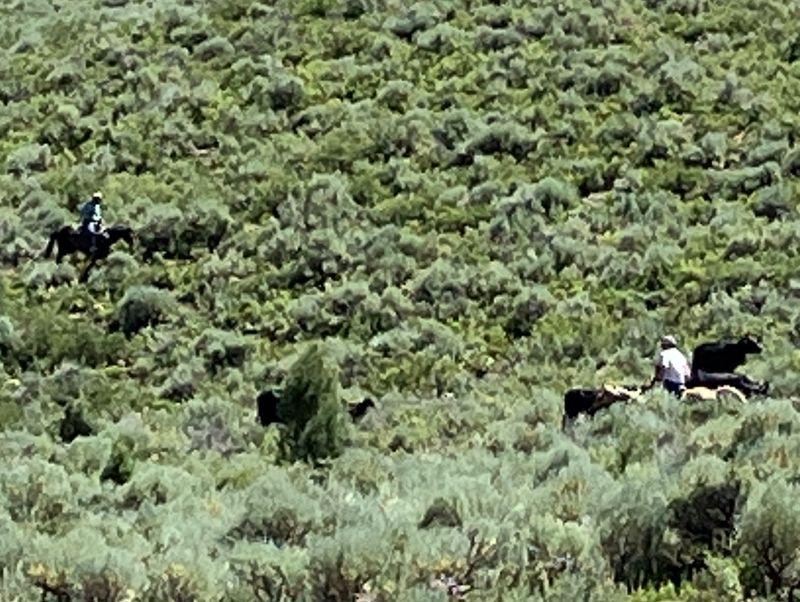
We observed some evidence of livestock on the lower trail as the cattle had been released about ten days prior to our hike, and we saw horsemen herding stray cows as we hiked out.
Video: https://youtu.be/evpdytUfkEo
Trip Summary:
- 19 hikers: Michelle, Deanna and her dogs, Brent J., Nancy, Jim, Jim R., Dee, Tanya, Sue, Laurel, Kathy, Dave P., Susan, David, Bruce, Linda, Brent L. (leader) Dave W., Jane.
- On the trail at 8:40, lunch, inspection of the spring and sawmill history lesson 10:25-11:20, trailhead by 12:30, and Logan at 1:00.
- Sunny skies, light breezes, temperature range high 60’s to mid 70’s.
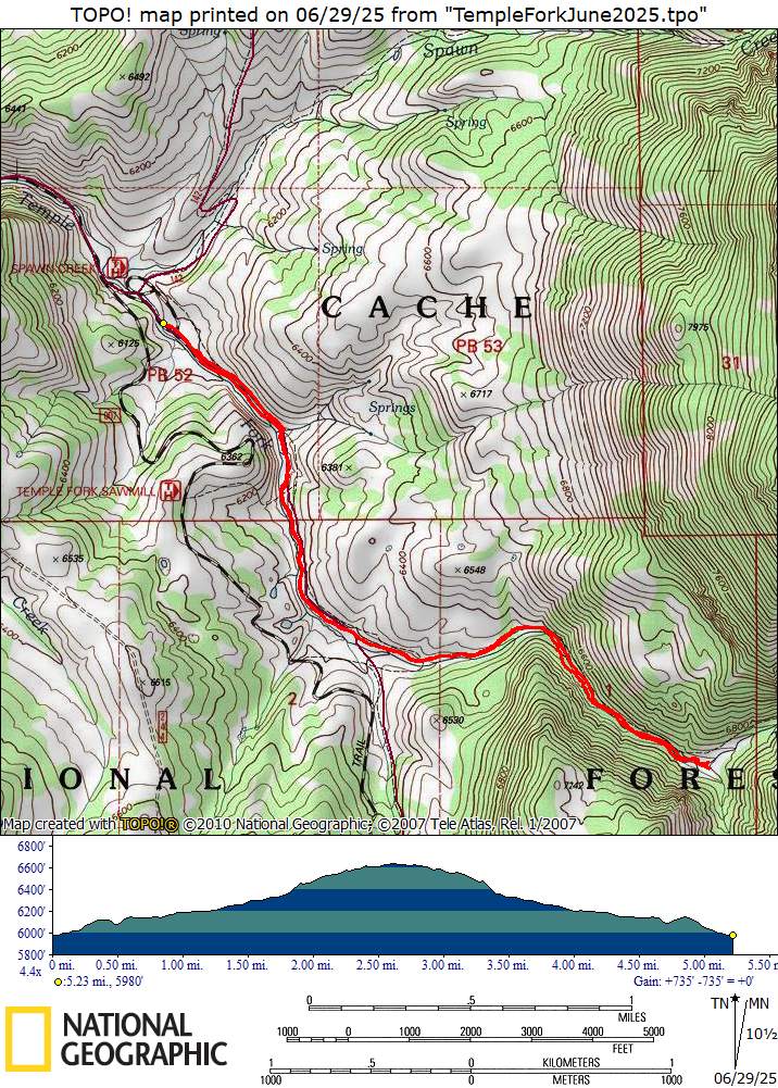
- Our track shows about 5.3 miles round trip with 700 feet of elevation gain.
Thanks
to Brent L for the narrative, photos and GPS data,
Jane and Dave P for photos, Dave W for photos and GPS
data, and David for the video.
 |
|||
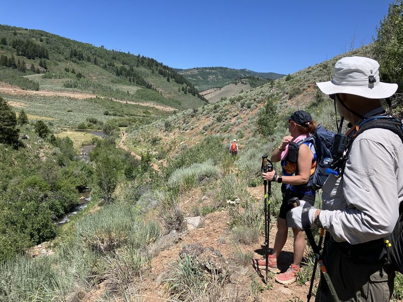
| The beginning
of our hike |
|||
 |
 |
||
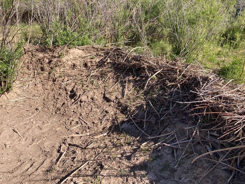
| This newly constructed beaver dam was
left high-and-dry when the stream level dropped |
The beavers push mud onto their dam
to add strength and to stop water from leaking
through |
||
2025.jpg) |
2025.jpg) |
||
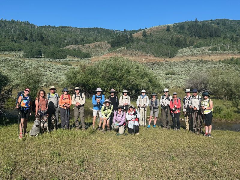
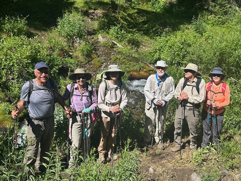
| Cache Hikers,
on the Temple Fork Sawmill Trail |
|||
 |
 |
||
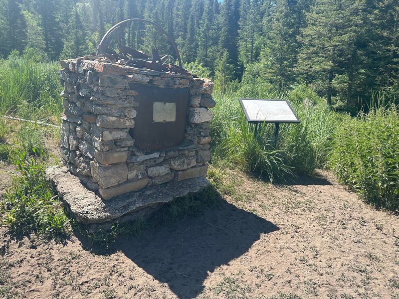
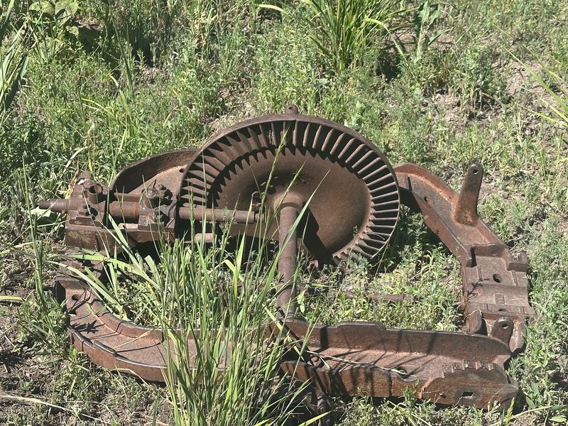
| A monument and machinery parts marked the location of the old sawmill | |||
2025.jpg) |
 |
||
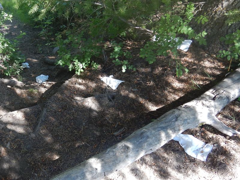
| Lunch in a shady spot near the stream |
Our usual lunch spot was littered
with disgusting trash, apparently left by campers |
||
 |
2025.jpg) |
||
| Several
hikers (left) made a side trip to a nearby spring
(right) |
|||
 |
 |
||
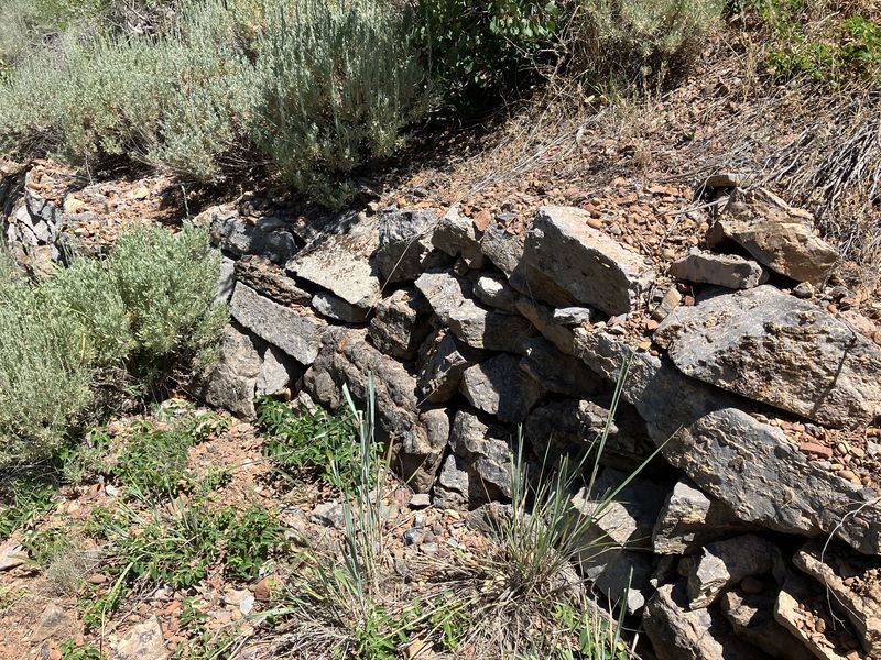
| Some hikers returned via a
seldom-used trail section that bypassed a
beaver-flooded area about 20 years ago |
The bypass trail has good retaining
walls despite the lack of maintenance, evidence of
quality construction |
||
 |
 |
||
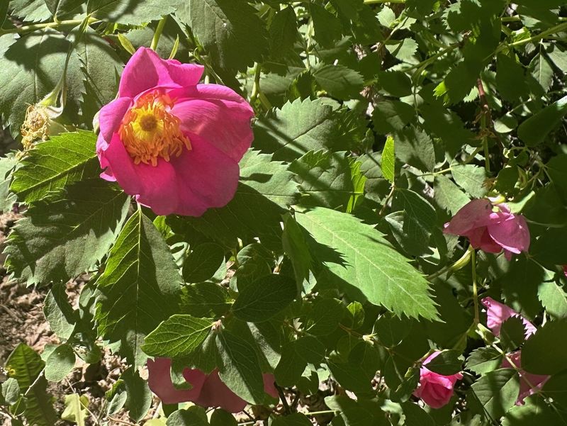
| Wood's rose |
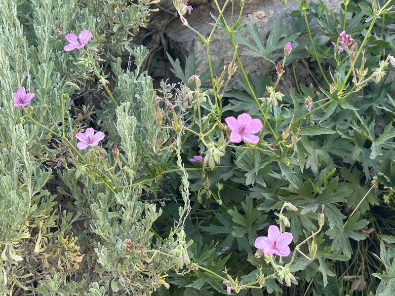
Sticky geranium |
||
 |
 |
||
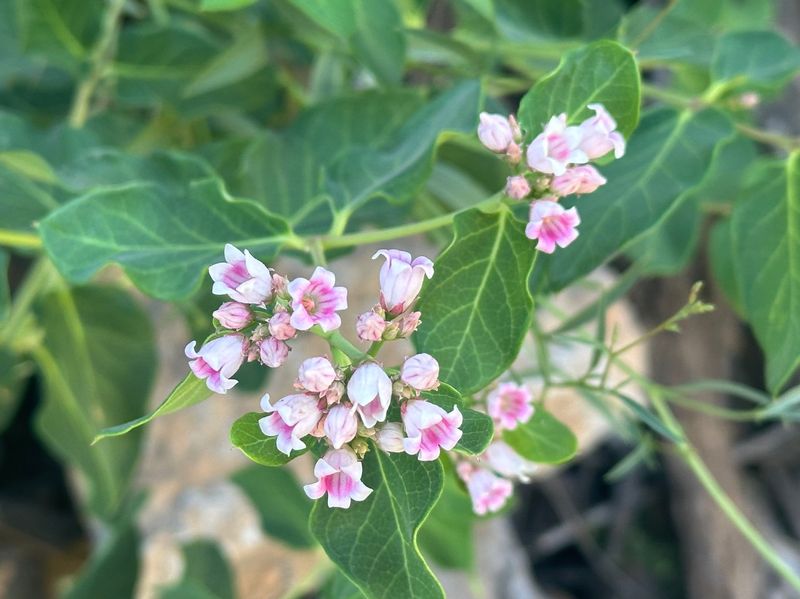
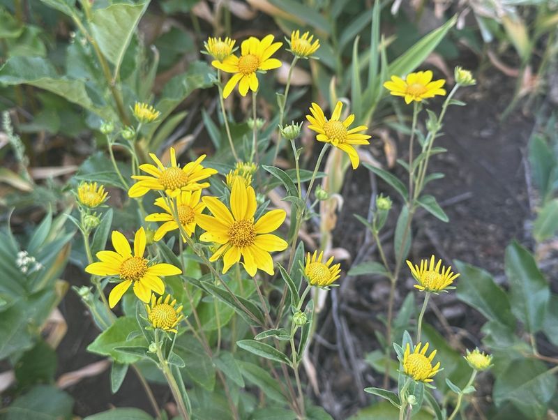
| Dogbane |
Showy goldeneye |
||
 |
 |
||
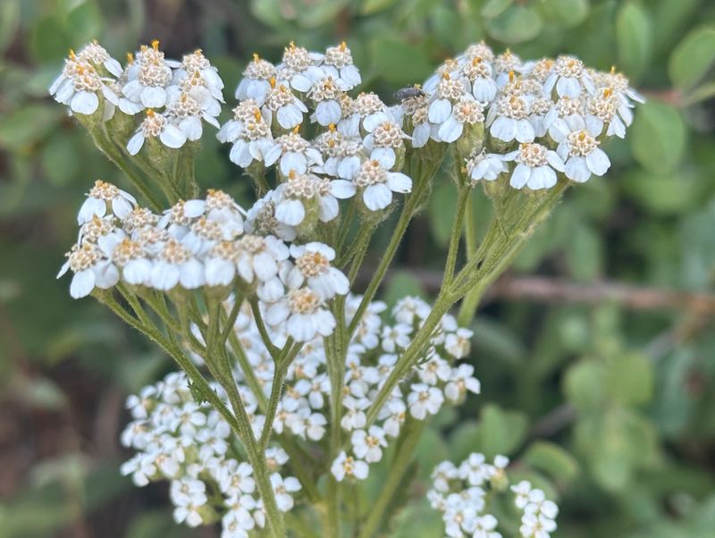
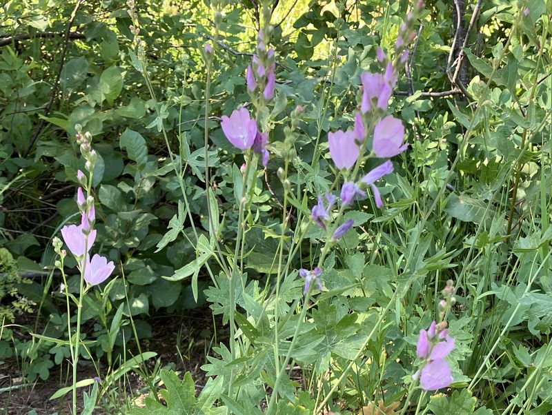
| Yarrow |
Oregon checkermallow |
||
 |
 |
||
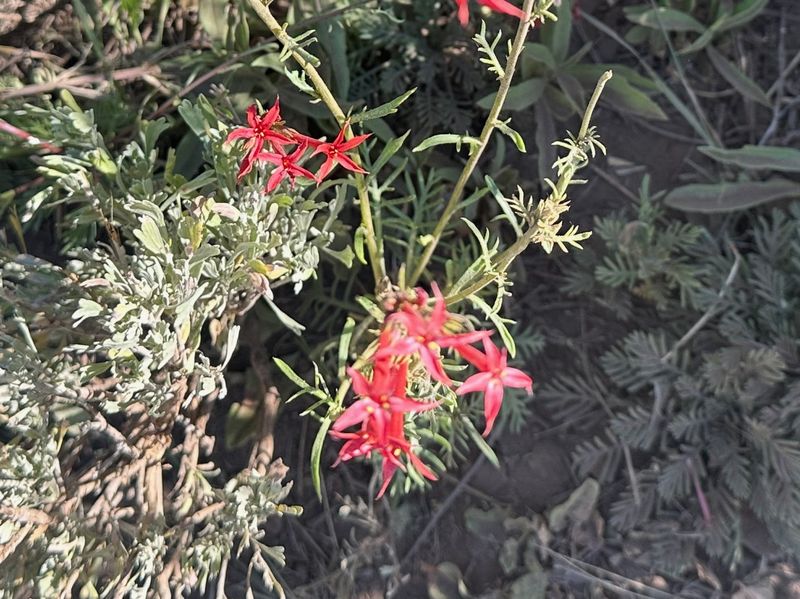
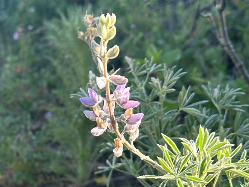
| Scarlet gilia |
Lupine |
||
 |
 |
||
| Lewis flax |
Chasing cows |
||
 |
|||
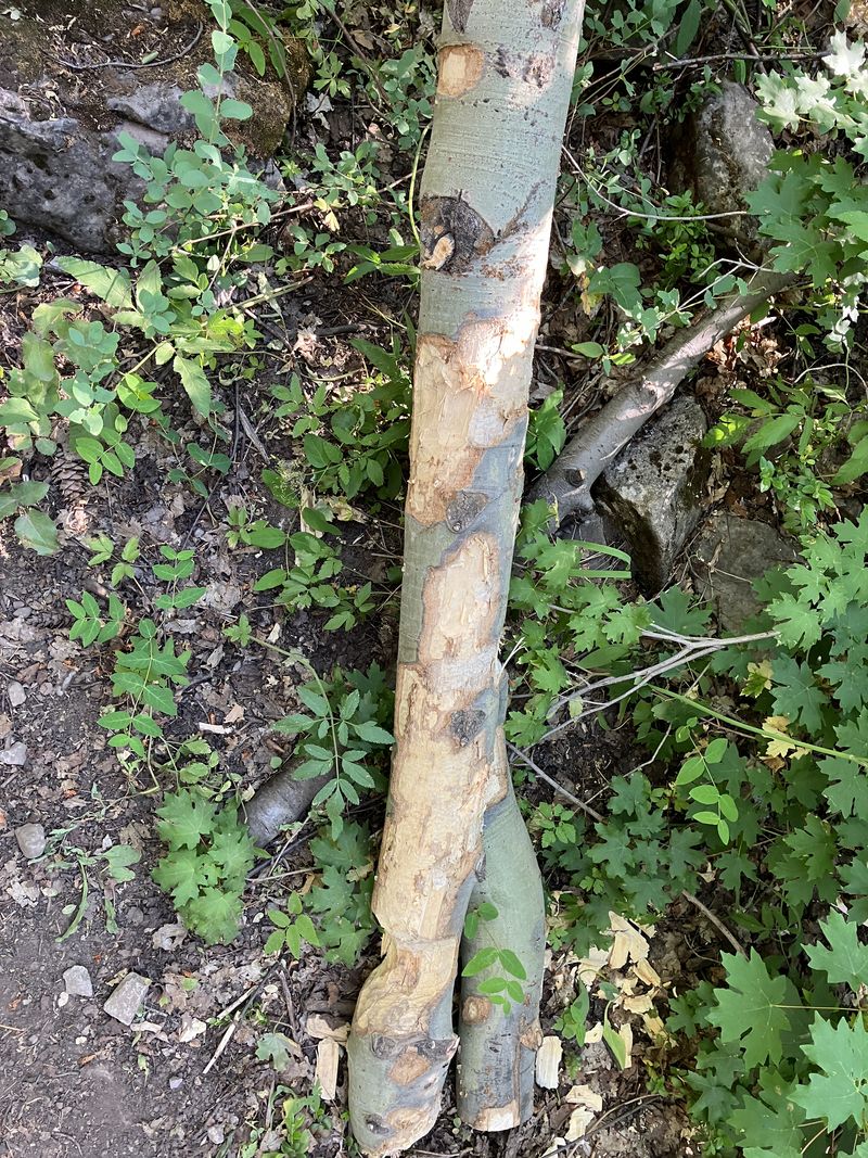
| A beaver
ate much of the bark off this aspen branch
|
|||
 |
|||
|
Our GPS track shows about 5.3 miles
and 700 feet of ascent. Some
hikers went 0.2 more miles (to a nearby spring
and back). You can look at our route using Google Earth
or download our GPS file.
|
|||