
Home
Temple Fork Sawmill, 26 July, 2026
Hikers met at Smiths on Main Street at 8:00. After introductions, we split into carpools for the two hikes planned for the day. Most would hike together on the Temple Fork Sawmill Trail to the Old Temple Fork Sawmill site, where the group would split: four hikers would return to the trailhead, while the others would continue to Temple Spring. The hike to Temple Spring is not part of the group’s usual rotation; the last Cache Hikers trip to the spring was in 2012. One person opten for a less strenuous alternative hike on the Temple Fork Cutoff Trail.
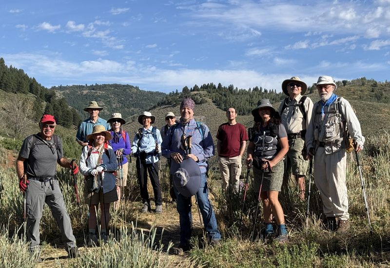
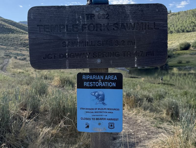
We carpooled the 31 miles from Smith’s Marketplace to the Temple Fork Trailhead, collected our gear, stopped briefly for a group photo, and headed up the trail. It was obvious from the start that it would be a hot day. The beavers had been working hard to return the Temple Fork Beaver Pond to its former condition, and we noted their activity as we started up the trail. If you are interested in observing beaver activity, this is one of the best places in Logan Canyon to do it.
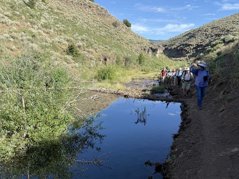
Shortly after starting, the trail winds through a section of the Garden City Formation where you see some of the thin bodied limestone cliffs along the trail. The trail narrows through this section, and the beaver dams had diverted the adjacent Temple Fork stream slightly, but it was easily passable. The trail opens up again as it passes through a section of the Wasatch Formation and then steepens as we entered the more forested section with cliffs from the Garden City Formation on both sides and the swiftly moving Temple Fork Stream below us.
After about 2.7 miles, the landscape opened up. We crossed a wooden bridge over Temple Fork stream, which originates farther up the drainage, and reached the remnants of the Old Sawmill.
The sawmill was established in September 1877 in what was then called Maughan’s Fork. Built to supply lumber for the Logan Temple, whose ground had been broken that May, the mill gave the drainage its new name: Temple Fork. Temple Spring and Sawmill Spring take their names from the same episode. Charles O. Card and Thomas X. Smith selected the site on May 9, 1877, for its water power and stands of red pine, or Douglas fir, and David Lamoreaux was appointed superintendent. A crew of roughly thirty was paid in mill products rather than cash, allowing workers to build their own homes and granaries. Over six years, the operation produced more than two and a half million board feet of lumber, along with 21,000 railroad ties for the Utah & Northern, 900,000 laths, two million shingles, 50,000 pickets, charcoal, and an uncounted number of broom handles. The mill shut down on December 6, 1883, and burned to the ground in the winter of 1885–86, leaving scattered relics and the weathered marker.
A small group of us went a short distance farther to view Sawmill Spring as it emerged from the ground. Sawmill Spring is a primary collection point for this drainage and provides most of the water in Temple Fork Stream. After a short break, four hikers chose the shorter route and headed back down the trail to the trailhead. Seven hikers started the ascent to Temple Spring, while one hiker found a shady spot and elected to take a siesta until the group returned.
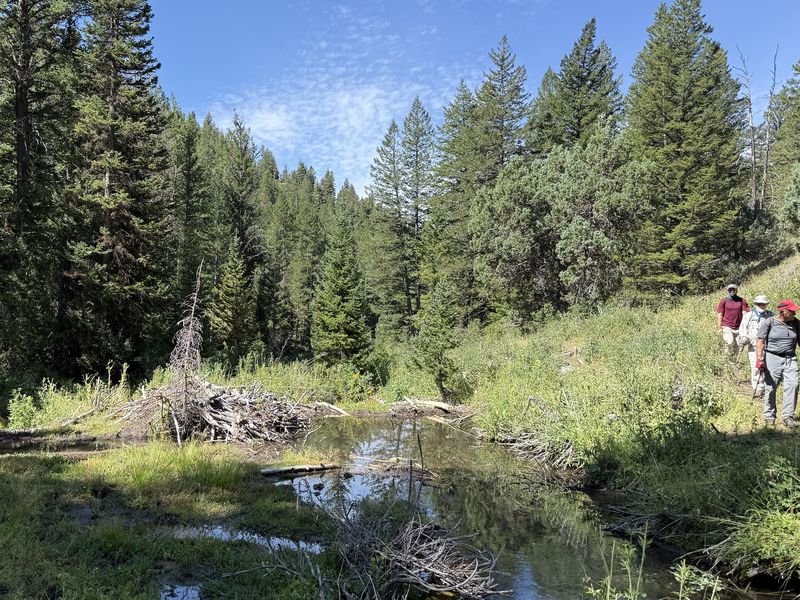
The hike to Temple Spring was the most difficult part of the day. This section appears to follow an old ox-drag road once used to bring logs down to the mill. Built between 1877 and 1883 for ox-team logging, it has been abandoned since the mill ceased operation. We had already climbed about 700 feet in the 2.5 miles to the old sawmill; this section climbed about another 700 feet in only 1.5 miles. We followed a series of trails and cow paths that ran roughly parallel to the stream. It was a beautiful hike, with plenty of shade and cliffs from the St. Charles and Nounan Dolomite Formations on both sides. These are the oldest formations on the hike, dating to the Upper Cambrian period, about 509 to 485 million years ago. Beaver ponds lined parts of the route, and at one pond we saw two beavers swimming toward their lodge. There was also plenty of evidence that cattle had been on the trail recently.
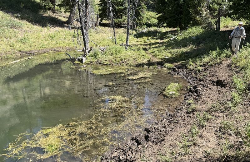
We reached the spring and saw that it entered a beaver pond from the side. We had hoped to determine whether the spring was a perched stream, formed where the drainage encountered a low-permeability layer such as the Worm Creek Quartzite, or whether it came from a fracture or fault. We were unable to determine the source, however.
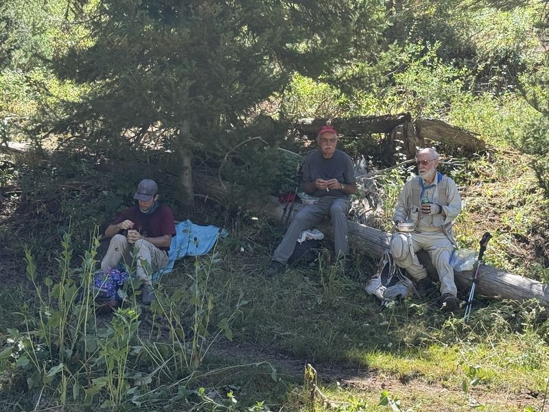
We found shaded areas for lunch, and one of us went slightly higher up the dry drainage, where he encountered the cattle whose signs we had seen along the way. After lunch, we turned around, picked up the hiker refreshed from the siesta, and returned to the trailhead, taking frequent breaks in shaded areas. The temperature on the return was about 95°F, and we reached the trailhead around 2:00 PM, hot, tired, and dusty.
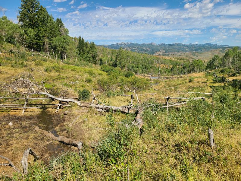
The alternative hiker started at Hunsaker Corral Trailhead and traveled on the Temple Fork Cutoff trail, passing cows, old beaver ponds, and a climate station on the way to a possible rendezvous with the others at the Temple Fork Sawmill Trail. The other hikers had already passed on by the time he got there, but they were able to meet at the Temple Fork Trailhead after the hike, about 11:45.
Trip Summary:
- Twelve hikers: Bruce, Dave P, Jane, Jim, Kamren, Kathi, Nancy, Ocean, Richard, Stephanie, Sue, Dave W (alternative hiker) and Ralph (leader)
- We were on the trail at 8:45 and reached the sawmill site by 10:05, followed by a short excursion to Sawmill Spring. At 10:20, seven hikers continued to Temple Spring. Four returned to the trailhead, arriving about 11:45, and one settled into a shaded spot for a siesta while awaiting the group’s return. The seven hikers reached Temple Spring at 11:30 and ate lunch in the shade until noon. They returned to the sawmill by 12:55, woke the eighth hiker, and the group hiked back to the trailhead, arriving about 2:07. Everyone was back in Logan by 2:45.
- Hot, sunny skies and light breezes, with temperatures ranging from the high 80s to the mid-90s.
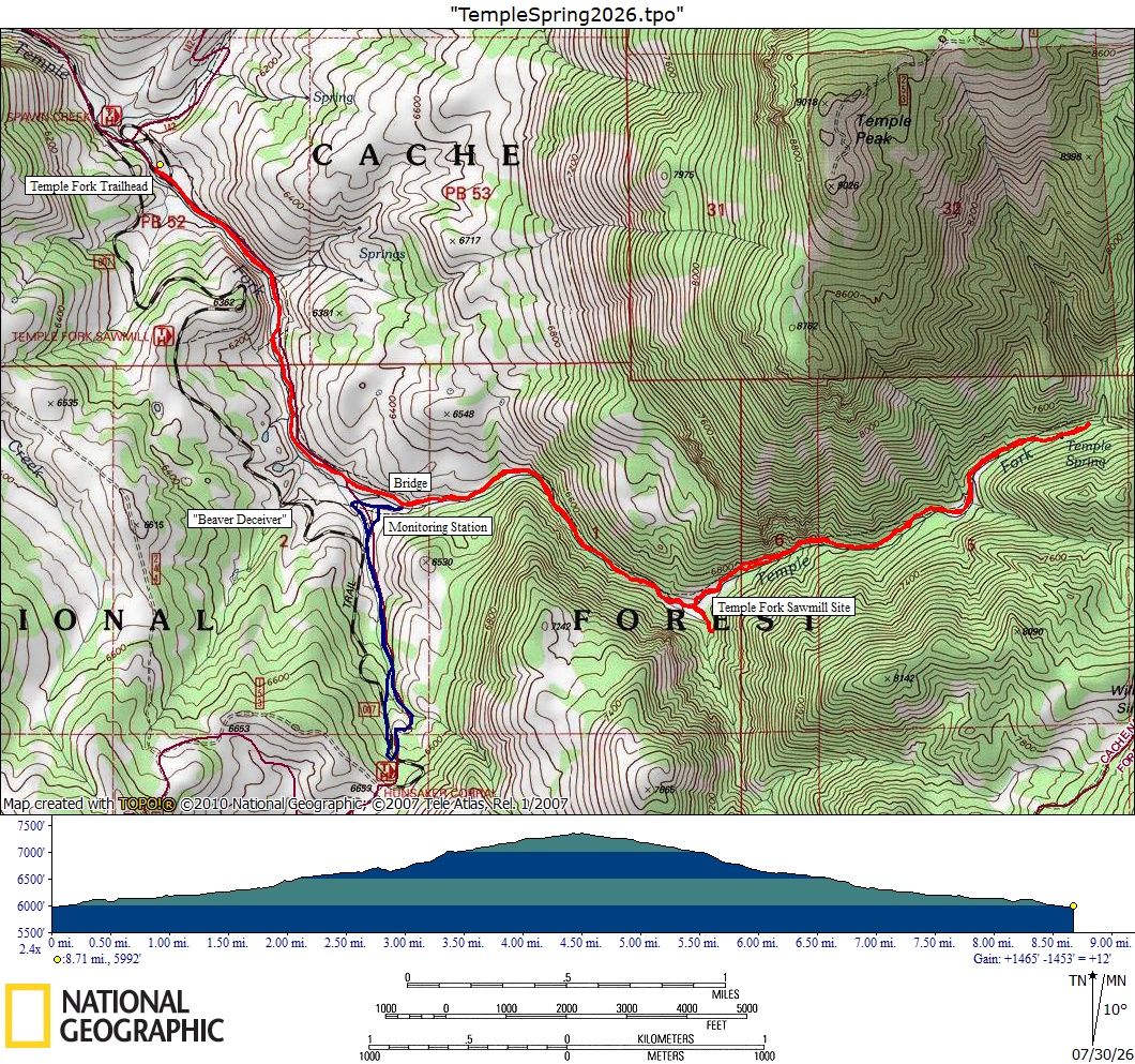
- Our track
shows about 9 miles round trip with 1400 feet of
elevation gain. The shorter out and back to the
sawmill was about 5.3 miles and 700 feet of ascent.
The alternative hike was 2 miles round trip and 370
feet of elevation gain.
Thanks
to Ralph for the narrative, photos, and GPS
data, Dave W for photos and GPS data, and Jane for
photos.
 |
|||
| Near the
beginning of the hike |
|||
 |
|||
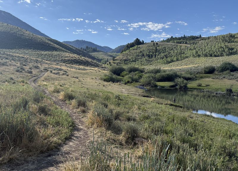
| Looking south,
up Temple Fork, from the trailhead |
|||
 |
 |
||
| Beavers are protected here |
Hikers work their way around a new
beaver pond |
||
.jpg) |
|||
| The Temple Fork Cutoff trail crosses the bridge (left) to meet the Temple Fork Sawmill Trail (right) | |||
 |
|||
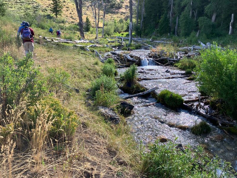
| Hiking east toward the sawmill site |
|||
2026.jpg)  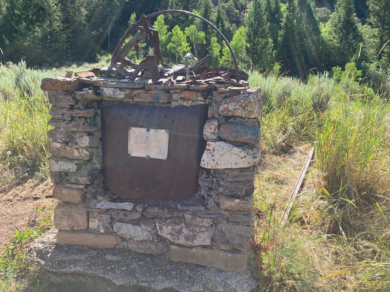  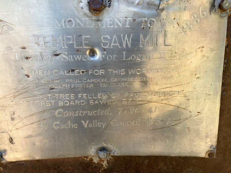 |
|||
| Interpretive
items at the sawmill site are not legible |
|||
 |
|||
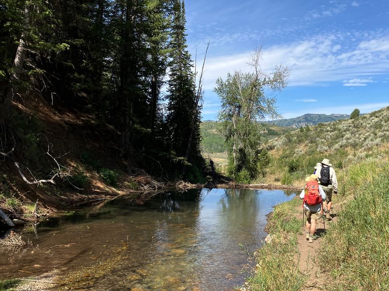
| Hiking back
after visiting the sawmill site |
|||
 |
 |
||
| Beaver ponds between the sawmill site
and Temple Spring |
Lunch near Temple Spring |
||
 |
|||
| Temple Spring |
|||
 |
2026.jpg) |
||
| Old beaver ponds along the Temple
Fork Cutoff trail |
Climate
station near the Temple Fork Cutoff trail |
||
 |
|||
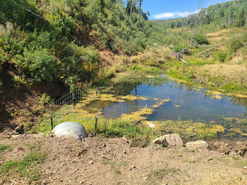
| A "beaver deceiver" prevents beavers from damming a culvert along the Temple Fork Road | |||
2026.jpg) |
 |
||
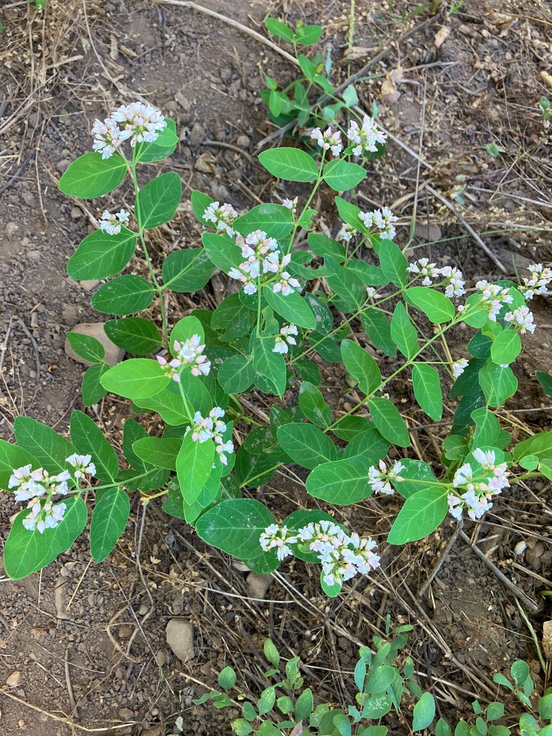
| Elk thistle | Dogbane | ||
 |
|||
|
Our GPS track (red) shows about 8
miles with about 1400 feet of ascent. The
alternative hike (blue) was 2 miles with 370
feet of ascent. You can look at our route using
Google
Earth or download our GPS file.
|
|||