
Home
Tony Grove Creek Ski/Snowshoe, 6 February 2022
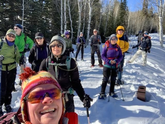
An
enthusiastic group of 15 Cache
Hikers found clear skies and warm temperatures on the
Tony Grove Creek trail. The
parking lot is just off the Tony Grove highway
turn-off near the Forest Service
Guard Station.
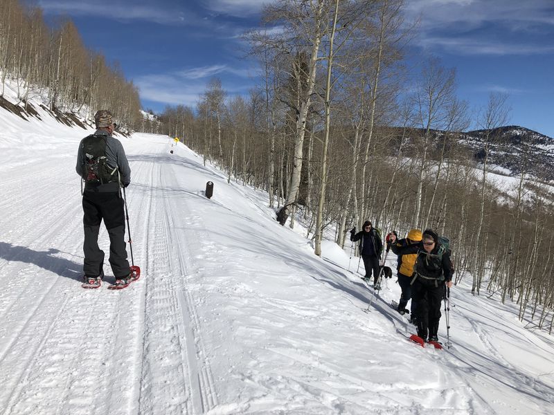
Ten snowshoers, 5
skiers, and 1 dog started out about 11:00 a.m. We
headed west up the old
Tony Grove road, which is now a pleasant ski and
snowshoe trail. It goes
initially along a log fence and the creek, just below
the new hiking trail that
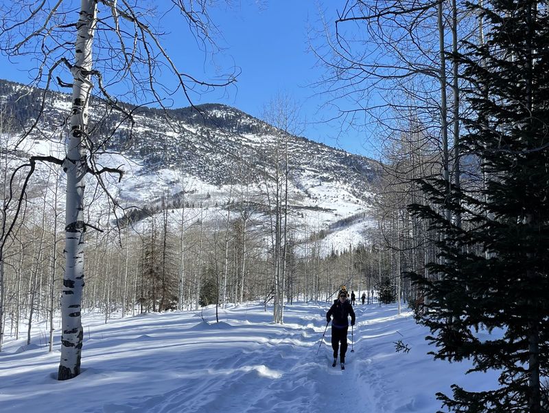
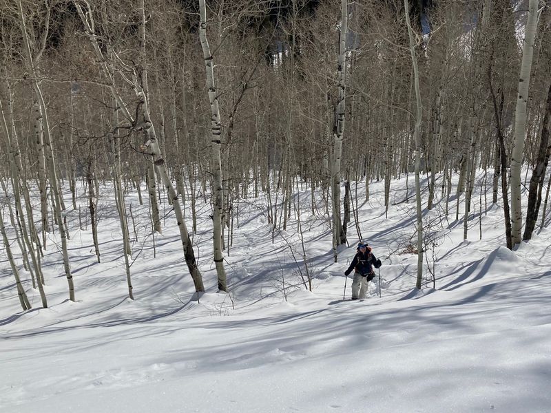
crosses north to access the Bunchgrass area. The
snow-covered but well-trodden
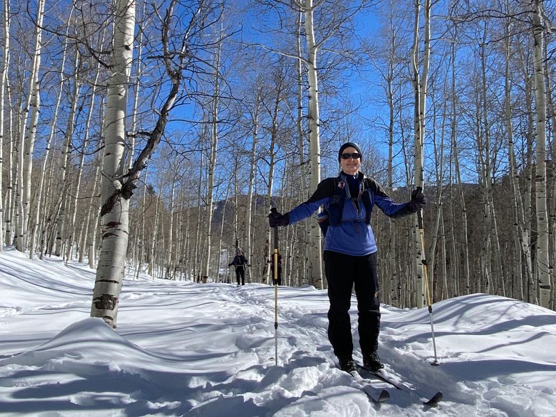
trail climbs gently through aspen and fir woods,
crosses Tony Grove Creek,
and continues upward to end at the current Tony Grove
road which is groomed for
snowmobiles and would be a zippy route down for
skiers. We enjoyed lunch and
the view in a sunny spot along the trail before it
connected with the road. Most
of us stayed on the path but one stalwart trekker put
his flotation to the test
on the last stretch with a direct climb up the snowy
slope. About 300 yards up
the road, we headed back into the woods making our own
track. We lolly-popped
down to meet with our up-route in a pleasant trek for
the snowshoers. The skiers
came down in all manners, some acrobatic but none
terribly graceful, on the
crusty, fast snow. The total trip was about 4.2 miles
with about 900 feet of
ascent. We were back at the parking area about 2:15pm.
Trip Summary:
- Fifteen humans and one
canine: skiers Teresa (leader), Dave W., Dave
P., Susan, and Deanna; snowshoers Ralph, Jane,
Kathy, Michelle, David, Laurel, Caroline, Keith,
Catherine, and Dan; and Zinnia (dog)
- Drove 22 miles up Logan Canyon to the Tony Grove Winter Trailhead
- Started out about 11:00, 12:30 to 1:00
for lunch, back at the parking area at 2:15
- Sunny skies, calm winds and comfortable
temperatures (the mid 30s)
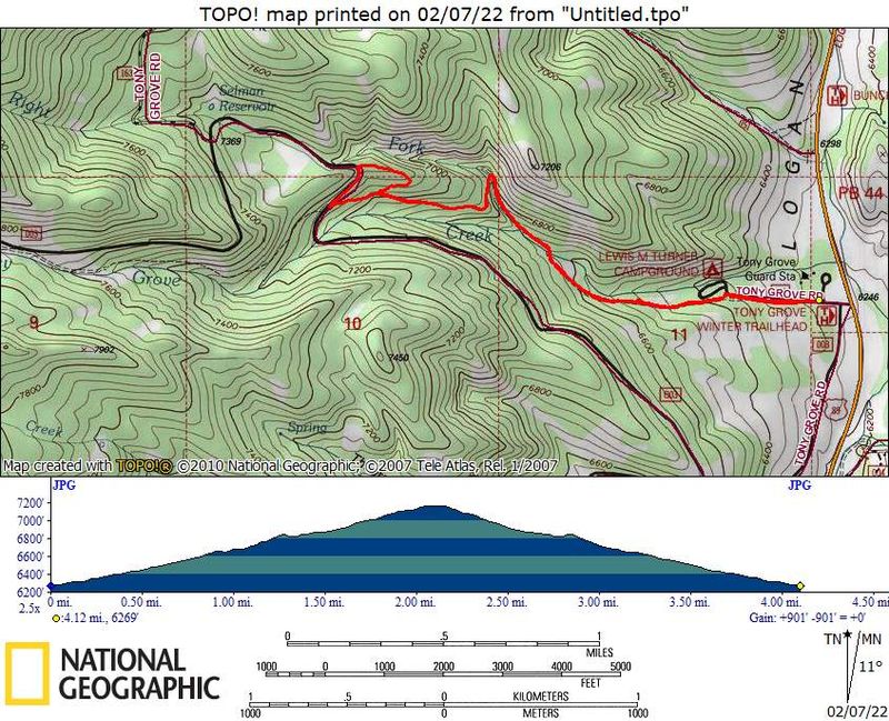
- Our GPS track shows 4.2 miles with
about 900 feet of elevation (snow
depth was 35 inches at our lunch spot)
Thanks to Teresa for the narrative and photos, Jane, Ralph, Caroline, Dave P. and Michelle for photos, and Dave W. for photos and GPS data.
 |
 |
|
| At the trailhead | On the trail |
|
 |
||
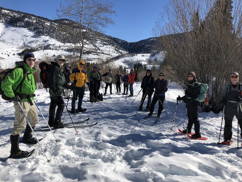
| A group photo
near Lewis Turner Campground |
||
 |
 |
|
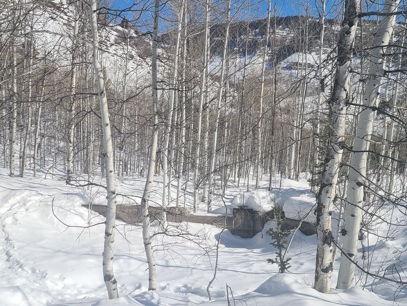
| There is a new fence around the
spring to protect the campground's water source |
This old dam provided water to power a generator at the historic Tony Grove Guard Station | |
 |
 |
|
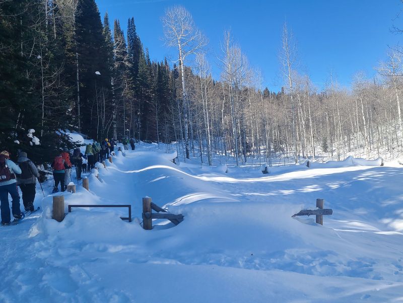
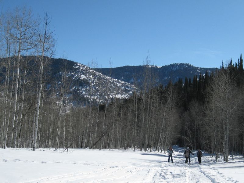
| The trail went through a meadow above the campground | A fallen tree over the
old roadbed |
|
 |
||
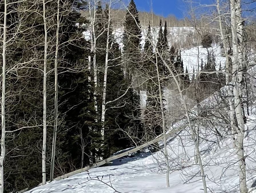
| The old road
crosses the Right Fork of Tony Grove Creek and
switches back to the south |
||
 |
 |
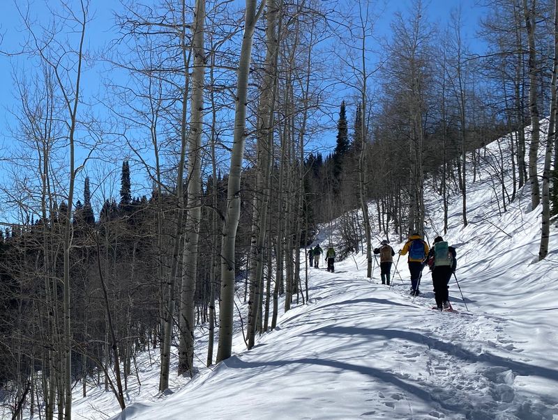
|
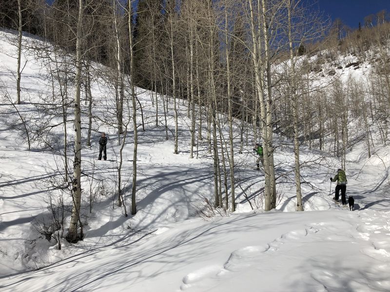
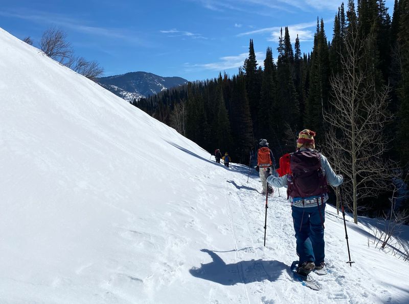
| Traveling up
the old roadbed |
||
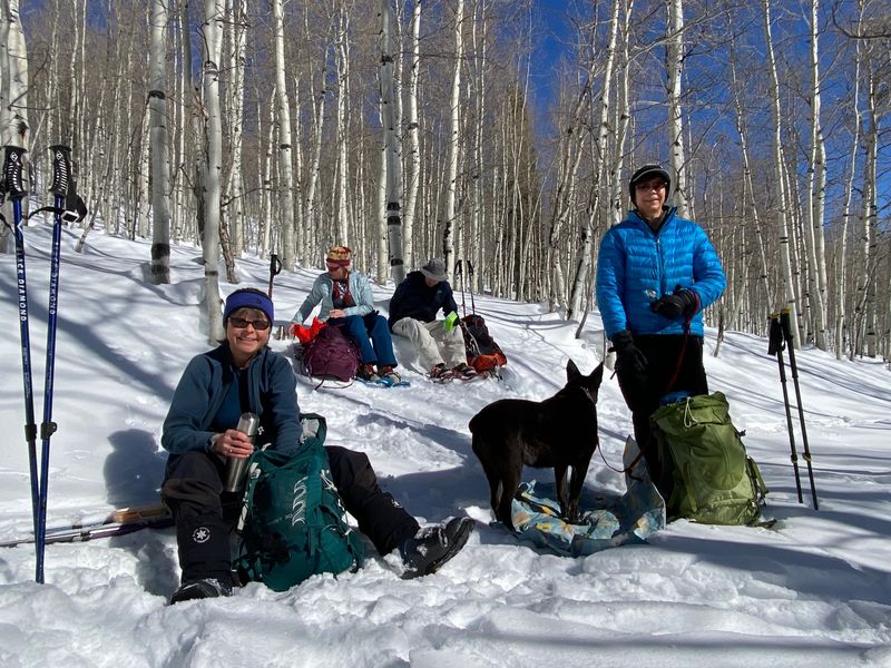 |
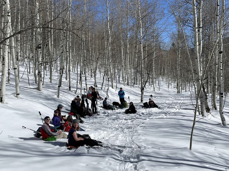 |
|
| Enjoying a
sunny lunch |
||
 |
 |
|
| Climbing up to the Tony Grove road |
A snowshoer took a "shortcut",
straight uphill to the road |
|
 |
||
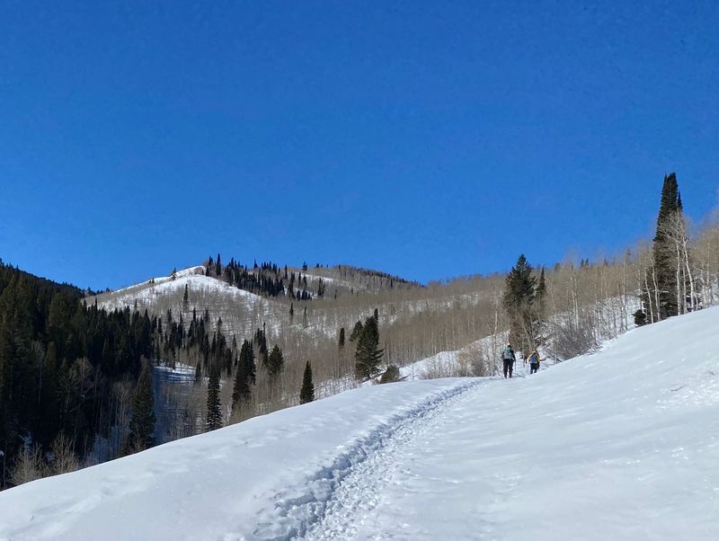
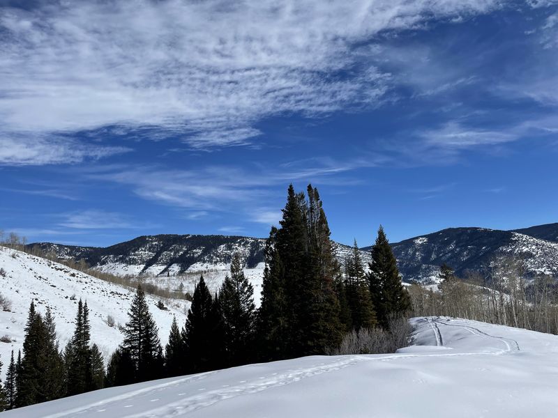
|
Looking east toward Logan Canyon,
before our descent
|
||
 |
 |
|
| Heading back down |
||
 |
||
|
Our GPS track shows about 4.2 miles
and 900 feet of ascent.
You can look at our route using Google Earth or download our GPS file. |
||