Tony Grove Creek, 6 January, 2019
We shoveled our way out of our driveways and met in the Smith Marketplace parking lot in our first real snowstorm of the winter season. There were 10 hardy souls: Teresa (leader), Dave P., Dave W. and Maggie (on skis) and Dan, Susan, Jesse, Chris, Alexandra, and Alexi (on snowshoes). We discussed changing to a route at the bottom of the canyon to reduce the drive, but decided to stick with the plan. We drove 23 miles up snowy US-89 to the Tony Grove Winter Trailhead.
There was considerably less snow up the canyon than in town and the road was fine. The trail gently ascended through meadow and forest with Tony Creek way below. We started out about 11:10 with a lunch stop at 12:25 – a sitting pad is a boon for dining in the snow. We got fresh stuff from the sky for the whole outing, with the sun breaking through the clouds as we headed back to Logan. There was no wind and temperatures hovered just below freezing. We had some clumping on skis, but a tube of glide wax solved that sticky issue. Turned around at 1:20 at the Tony Grove Road, arriving at the trailhead about 2:40 and back at Logan by 3:30. Our GPS track shows about 3.9 miles with 850 feet of ascent and descent.
Trip Summary:
- 10 Participants: Teresa (leader), Dave P., Dave W. and Maggie (on skis) and Dan, Susan, Jesse, Chris, Alexandra, and Alexi (on snowshoes)
- Drove 23 miles up snowy US-89 to the Tony Grove Winter Trailhead
- Started out about 11:10 with a lunch stop at 12:25. Turned around 1:20 at the Tony Grove Road, arriving at the trailhead about 2:40 and back at Logan by 3:30
- Snowing most of the time, but calm and not too cold (about freezing temperature). The sun came out as we drove back to Logan.
- Our GPS track shows about 3.9 miles with 850 feet of ascent and descent
Thanks to Teresa for the narrative, Teresa, Dan, Dave P. and Dave W. for photos and Dave W. for the GPS data.
|
|
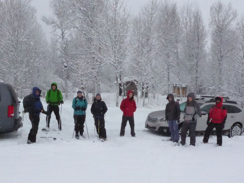
| Starting out at the Tony Grove Winter Trailhead | |
 |
|
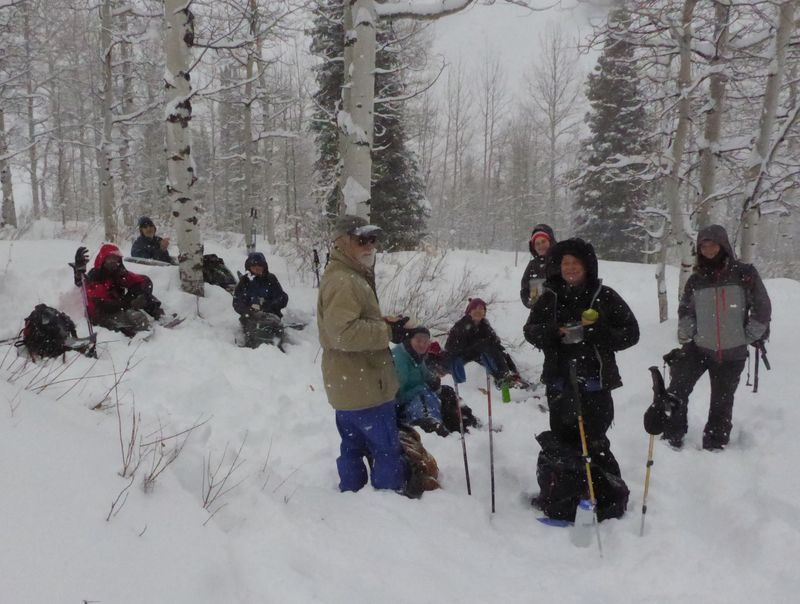
| Stopping for lunch on the way up | |
 |
|
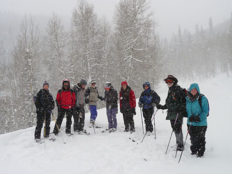
| Ready to go back down after arriving at the Tony Grove road | |
2019.jpg) |
|
| Heading down the road not far from the campground | |
 |
|
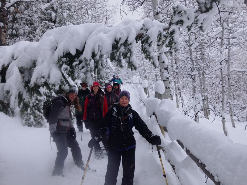
| On the snowy trail near the campground | |
|
|
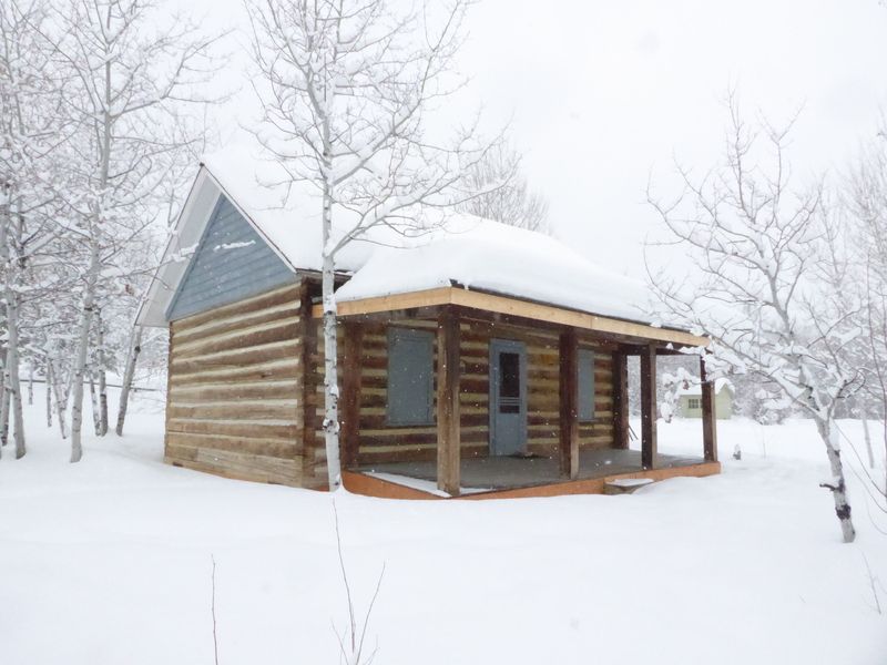
One of the skiers took a detour to see the historic guard station |
|
 |
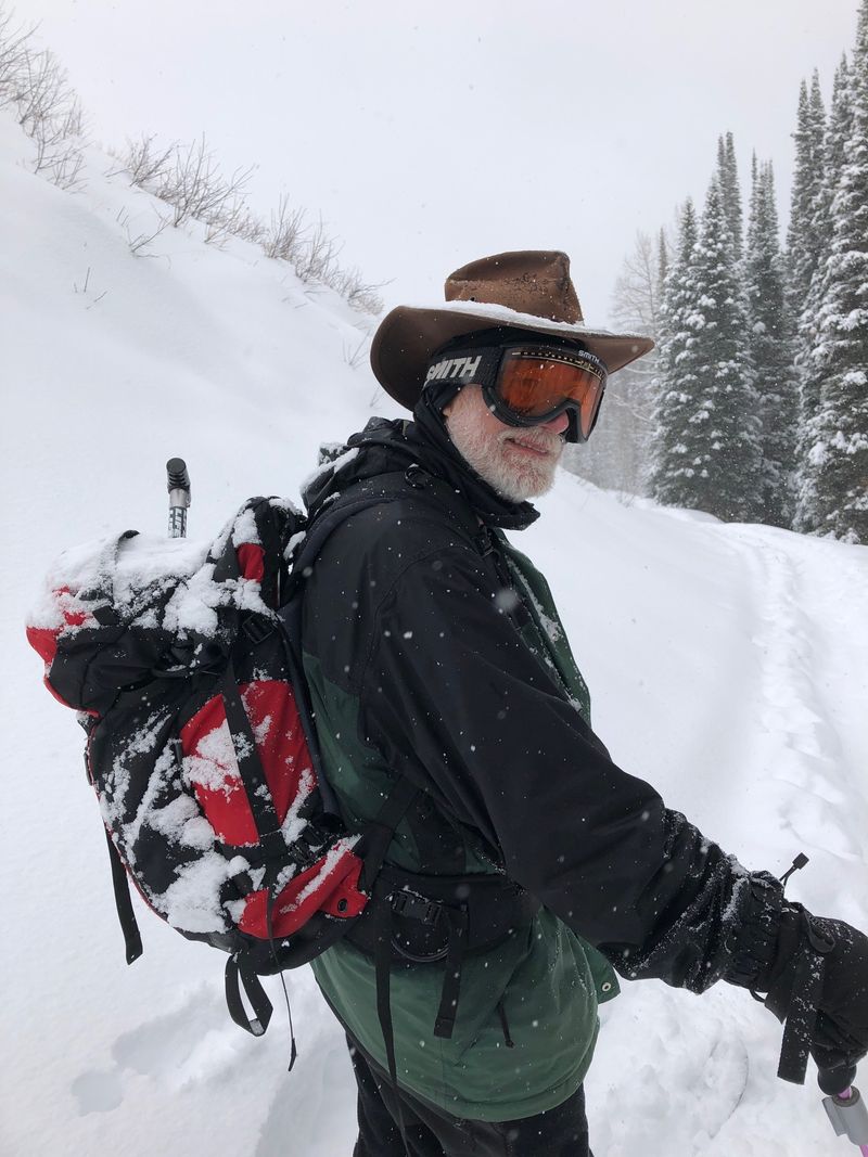 |
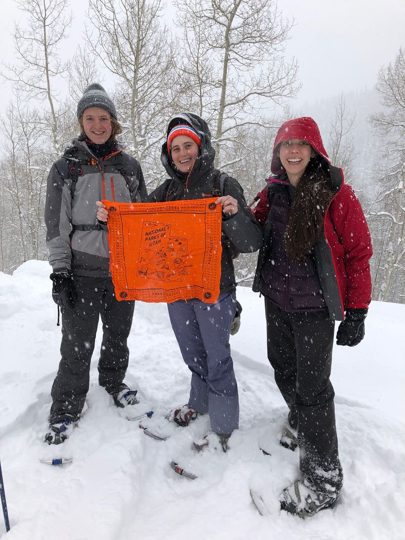
| A few Cache Hikers | |
| Our GPS track shows about 3.9 miles with 850 feet of ascent and descent | |
You can look at our route using: Google Earth or download our GPS file. |
|

