
Home
Tony Grove Creek Ski/Snowshoe, 31 January 2021
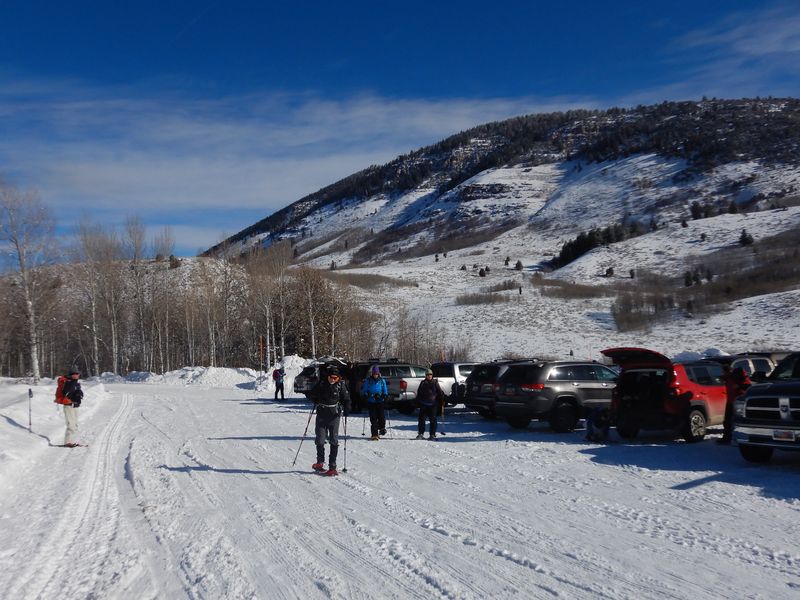
Fifteen skiers and snowshoers left the Smith’s parking lot a little after 10:00 a.m. and drove 22 miles to the Tony Grove Winter Trailhead parking area arriving about 10:35 a.m. Several snowmobile trailers were already parked in the lot but there was plenty of room for other vehicles.
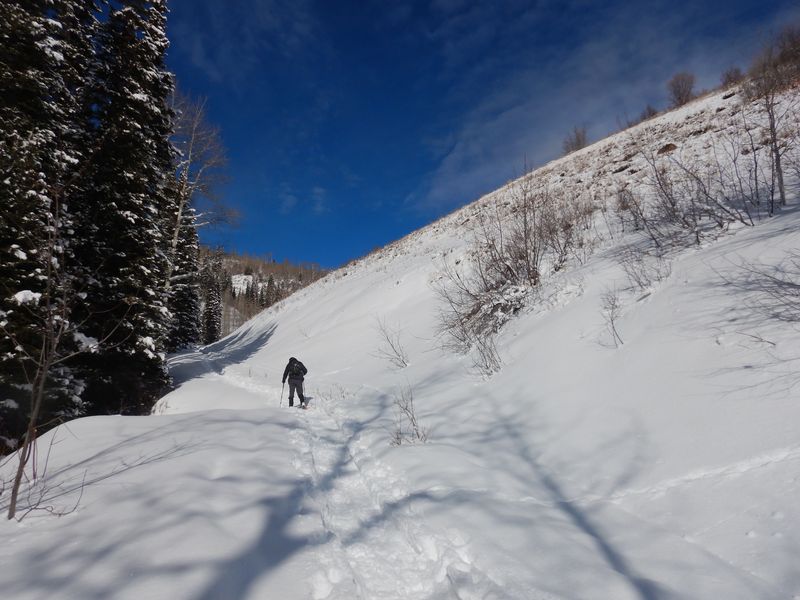
The group started out about 10:55 a.m. Due to the report of considerable avalanche danger, we discussed whether to take an alternate route to avoid traversing below a steep south-facing slope. Once we reached the slope it was determined that there was not enough snow danger to warrant a reroute.
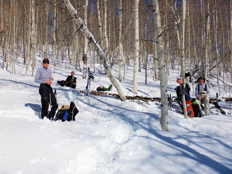
We had lunch about noon along the trail in an aspen grove with mountain views to the east. Following lunch, we continued our ascent to the Tony Grove road. After continuing along the road for a short distance, the group turned east to follow the ridge looping back down to the meet the trail.
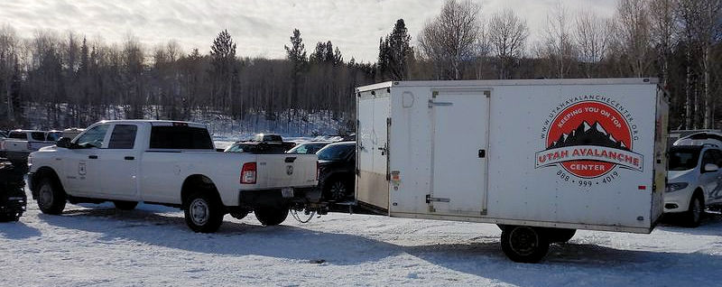
On the way down, we ran into several others; a snow biker, a skier, and a family out dog-walking and enjoying the warm sunny day. Back at the trailhead, we chatted with Toby Weed from the Utah Avalanche Center who was about to set off uphill to check the snow conditions.
Trip Summary:
- 15 Cache Hikers: Cross-country skiers; Dave P., Dave W., and Deanna. Snowshoers; Susan (leader), Laurel, Jane, Brent, Kathy, Michelle, David, Chris, Jesse, Falina, Ralph, and Kaylee
- Due to COVID-19, we convoyed the 22 miles to the Tony Grove Winter Trailhead
- Started out from the trailhead about 10:55 a.m.
- Stopped for
lunch around 12:15 p.m. then headed up to the the Tony
Grove Road
- Back to the cars by 2:15 p.m.
- 9 inches of new snow
- Mostly sunny skies and calm winds
- About 40º F and 28” snow depth at our lunch spot
- Distance was 4.2 miles with 900 feet of ascent and descent
Thanks to Susan for the narrative and photos, Ralph, David, Dave P. and Jane for photos and Dave W. for photos and GPS data.
 |
 |
|
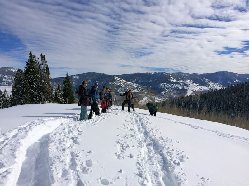
| Starting out from a crowded trailhead parking area | This steep south-facing slope
above the trail did not have enough snow to be an
avalanche hazard |
|
 |
||
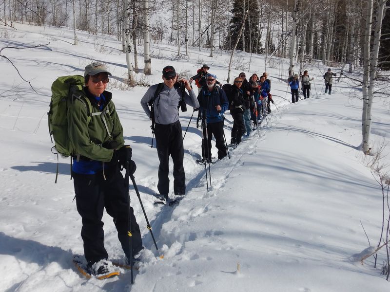
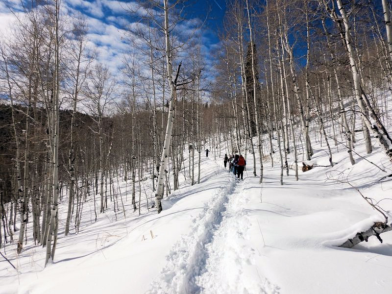
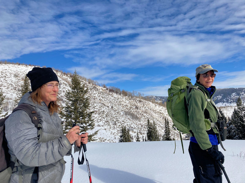
| On the trail |
||
 |
 |
|
 |
 |
|
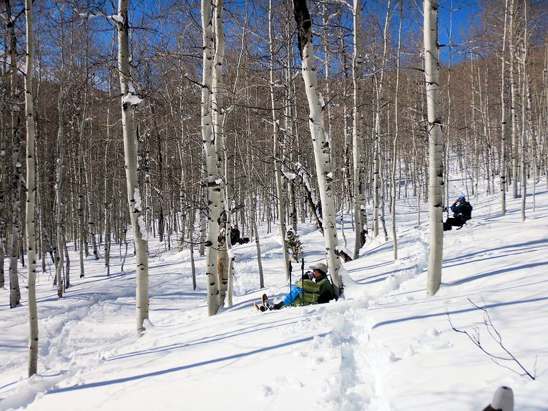
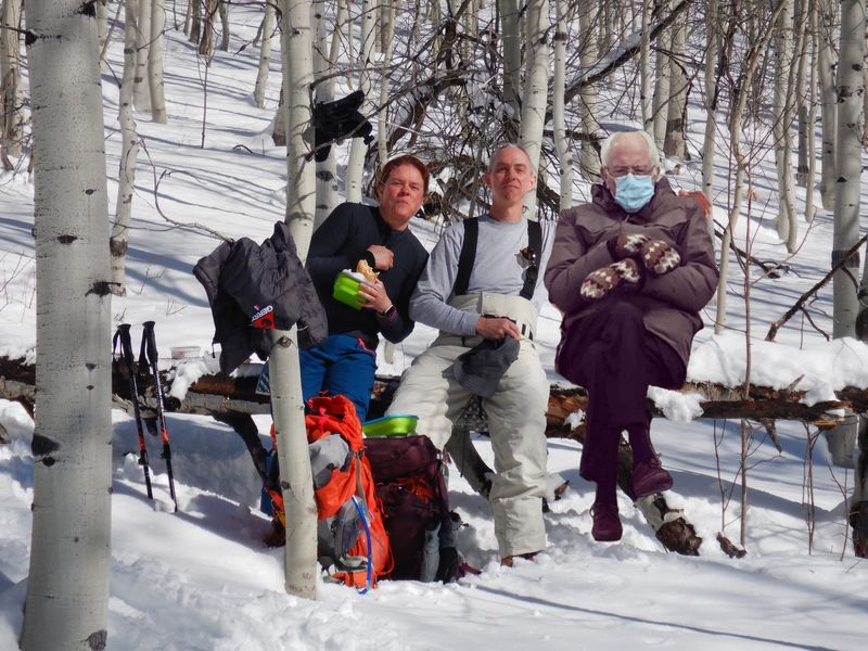
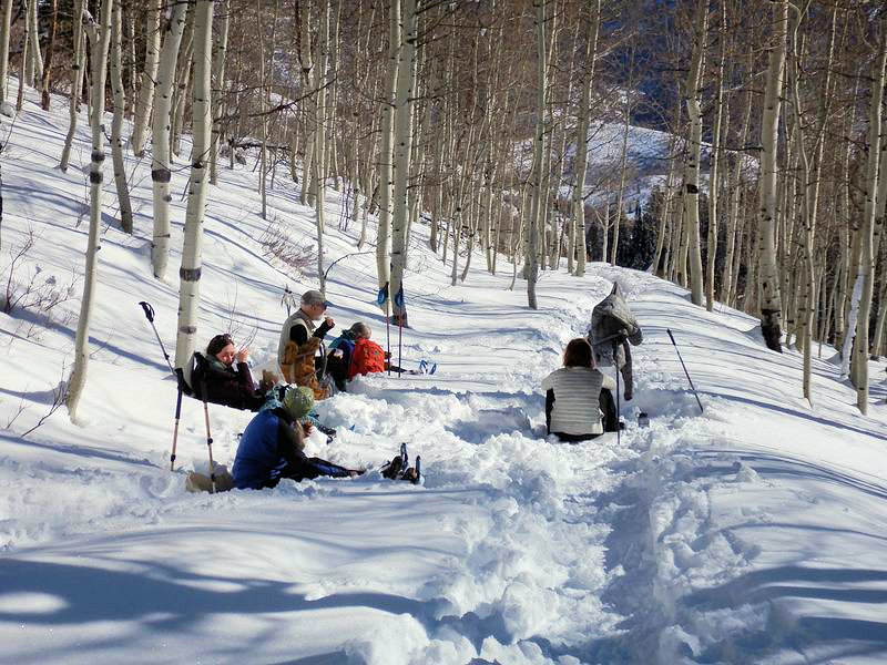
| It took several photos to include
everyone in our socially distanced (COVID-safe)
lunch |
||
 |
 |
|
| Continuing up toward the road
after lunch |
Snowmobile tracks on the Tony
Grove Road |
|
 |
||
| On a ridge near the Tony Grove Road |
||
 |
 |
|
| It was a good day to be
out |
Heading down the ridge | |
 |
||
| The Utah Avalanche Center was there, too | ||
 |
||
|
Our GPS track shows about 4.2
miles and 900 feet of ascent and
descent.
You can look at our route using Google Earth or download our GPS file. |
||