
Home
Tony Grove Creek, 15 March, 2026
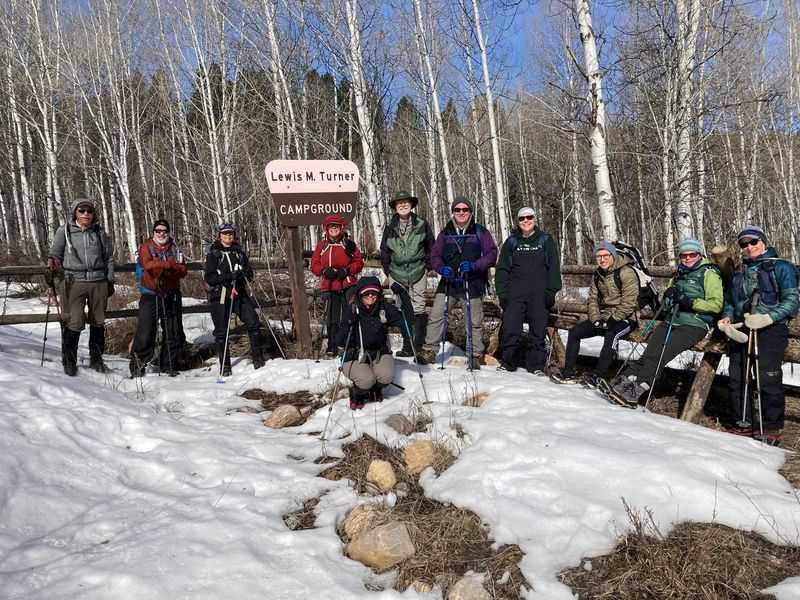
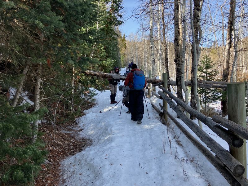
Twelve people showed up for our last “winter outing”: Bruce, Sue, Jane, Dave W, Brent L, Teresa, Susan, Kathy, Brent J, Annabelle, Nate, and Dave P (leader). It was a clear, spring-like day, starting out cold but warming up quickly. The trail was mostly snow-covered with a firm crust in the shade. A few sections were bare and muddy where the sun hit it.
One hiker managed with just boots the whole way but most added snow-traction devices to boots. Some carried snow-shoes which came in handy when the crust softened in the afternoon. The rest accepted making occasional post-holes. The snow in these places was about 2 feet deep.
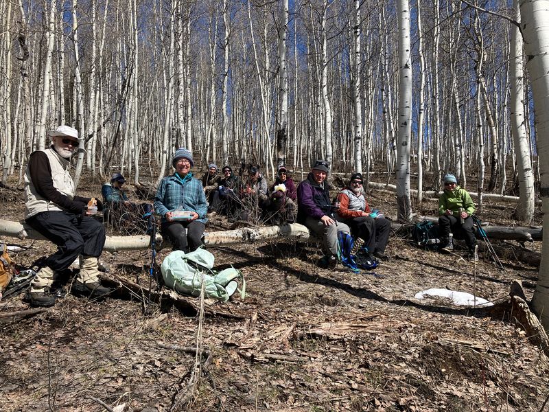
We had lunch in a sunny grove of aspen. We heard birds in the trees and one hiker’s phone app identified them as pine siskin and Cassin’s finch, but we never saw them.
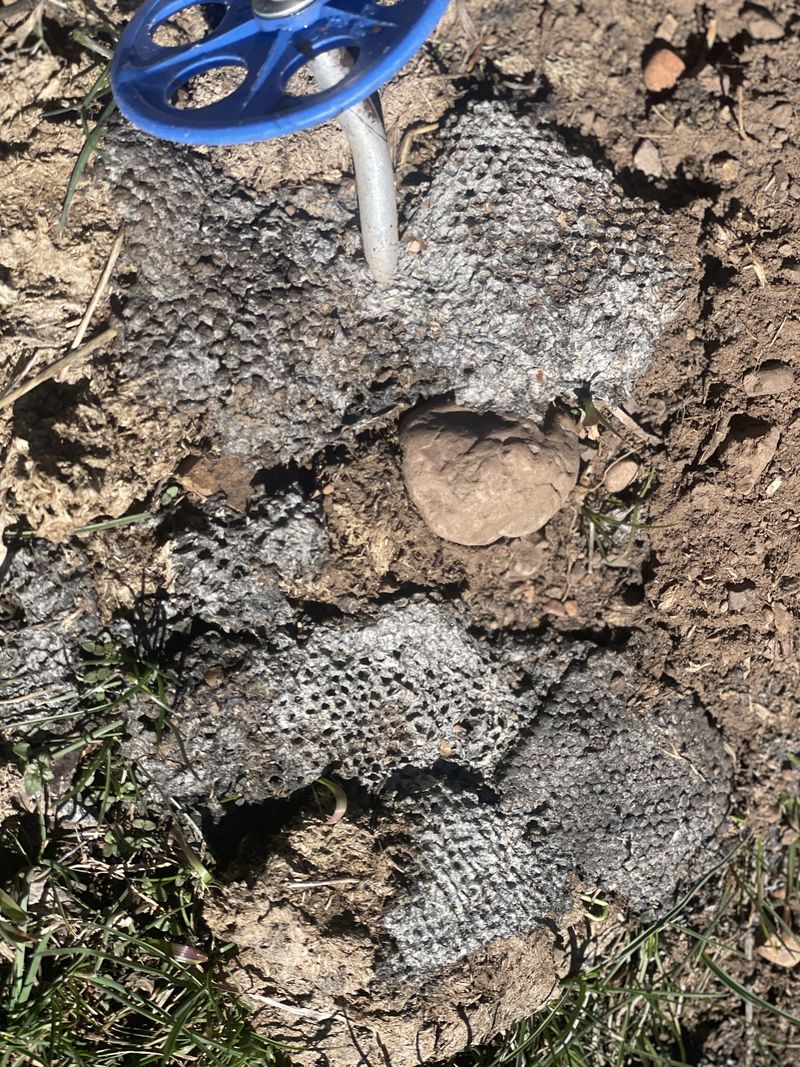
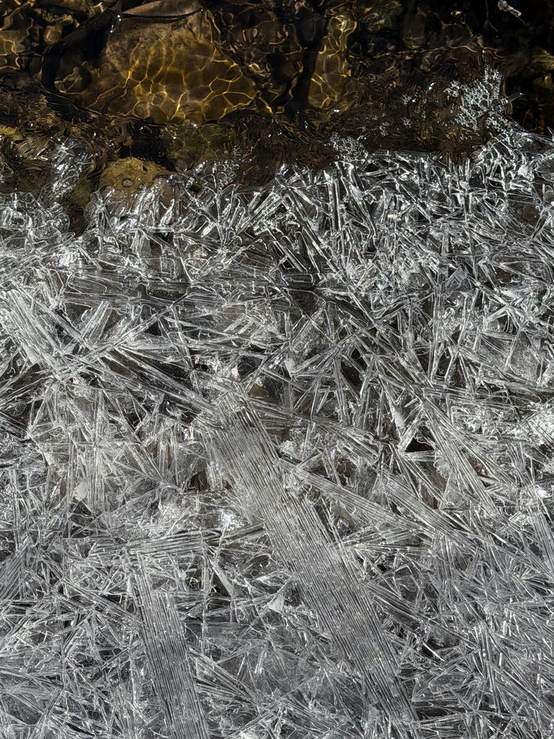
Afterward most continued up to the paved road before heading back the way we came. We found the remains of a wasp nest that was dug out, possibly by a skunk to eat the larvae. Tony Grove Creek was running strongly which suggests spring runoff is already starting.
Near the trailhead we looked at weather stations, a beaver pond, ponderosa pine plantings tried by the forest service, the ranger cabin that is being renovated for public use, and the old water-powered electric generator shed and components.
Tony Grove Ranger Station historical information:
- National
Register of Historic Places Registration: Tony Grove
Ranger Station Historic District / Tony Grove
Memorial Ranger Station, Tony Grove Nursery, Tony
Grove Ranger District
- Accompanying
seven photos from 1987
- Tony Grove Guard Station Restored and Available for Rent (it still is not available)
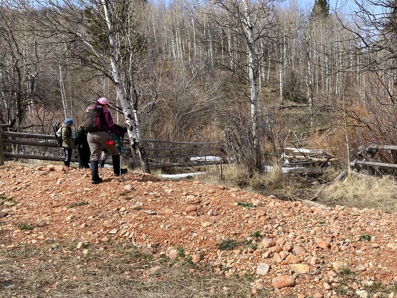
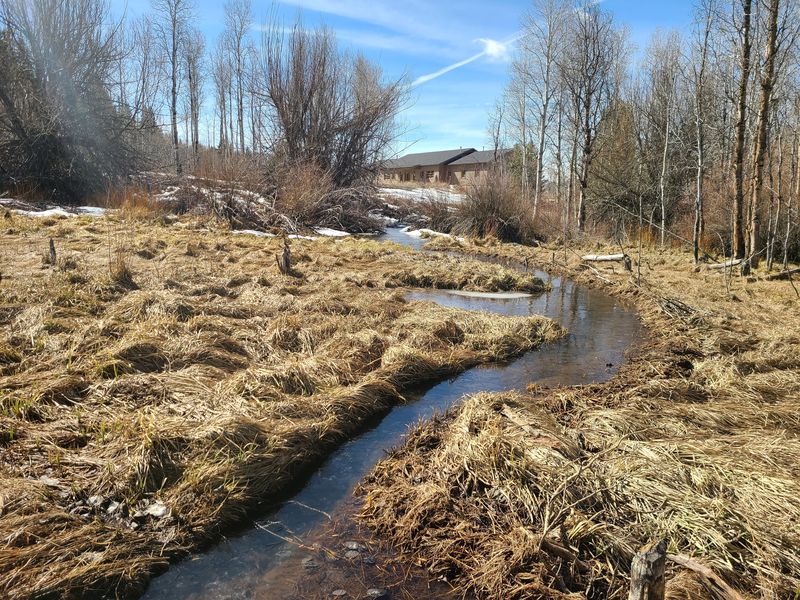
One hiker made
a side trip to check on progress at the old USU Forestry
Camp nearby. He was impressed by the nearby beaver
activity at Little Bear Creek, as pictured below.
Check these links for background information related to
the camp:
- Forestry Summer Camp
- USU Forestry Field Camp Could be Abandoned
- USU forestry camp cabins could be demolished in March
- LCSD Board of Education approves purchase of Outdoor Learning Center
- Newly-opened
Grizzly Outdoor Learning Center preserves past and
looks toward future
Trip Summary:
- 12 Hikers: Bruce, Sue, Jane, Dave W, Brent L, Teresa, Susan, Kathy, Brent J, Annabelle, Nate, and Dave P (leader).
- Drove 22 miles to the Tony Grove Winter Trailhead
- Started hiking 10:40 am, lunch 12:20 - 12:50, back at the trailhead about 2:30 pm
- Clear skies, calm winds, with temperatures increasing from below 30 ºF at the start to nearly 40 ºF
- Trail conditions
ranged from "icy" to "post-holing"
- Traveled
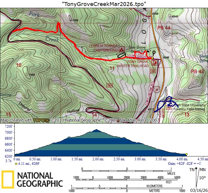
about 4.1 miles with 830 feet of ascent/descent
Thanks to Dave P for the narrative and photos, Jane, Sue, Dave W, and Kathy or photos, and Dave W and Teresa for GPS data.
 |
|||
| Starting out from the Tony Grove Winter Trailhead (the campground is 1/4 mile up the road) | |||
 |
 |
||
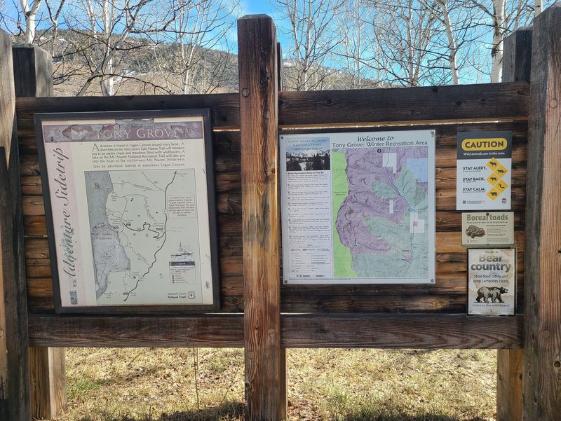
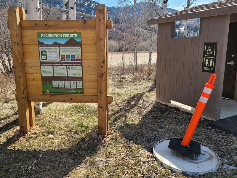
| Maps at the trailhead identify non-motorized areas | User fees are expected to start soon | ||
 |
 |
||
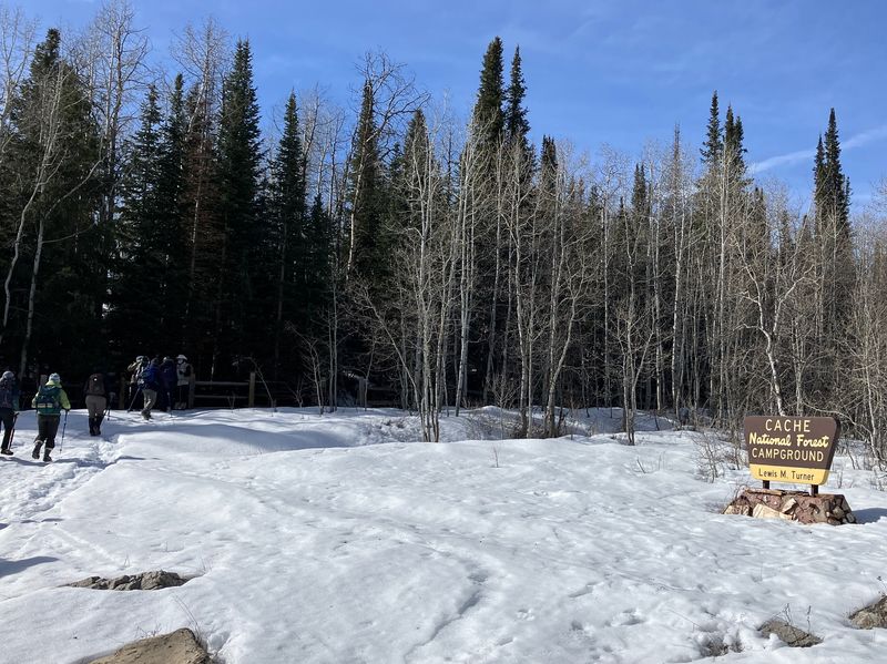
| Passing the campground, east of the winter trailhead | Did anyone bring a saw? | ||
 |
 |
||
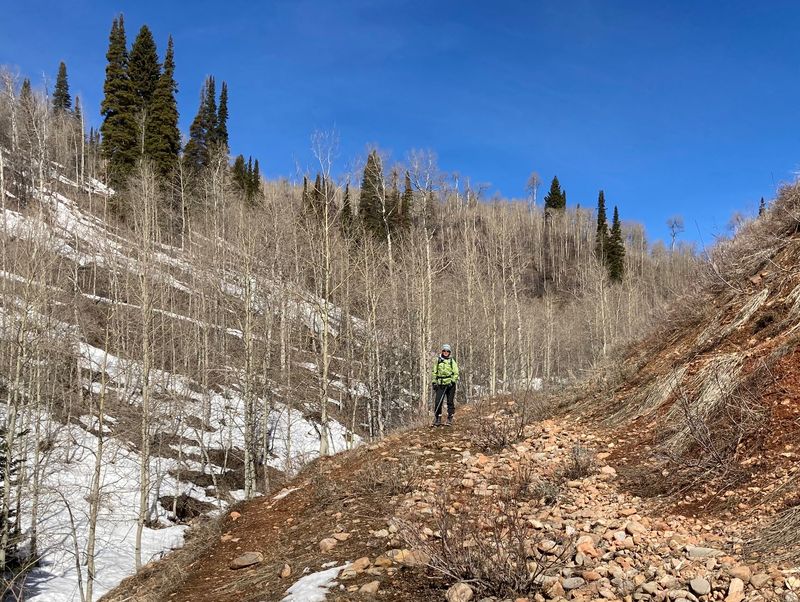
| Crossing Tony Grove Creek | The old Tony Grove road bed on a south-facing slope | ||
2026.jpg) |
2026.jpg) |
||
| A washed-out culvert at a switchback on the old road | Hiking west on the old road | ||
 |
|||
| A sunny lunch spot on a south-facing slope | |||
2026.jpg) |
|||
| The SNOTEL weather station near the Tony Grove Guard Station | |||
 |
|||
| An earthen berm protects the SNOTEL site from beaver-caused flooding on Tony Grove Creek | |||
 |
 |
||
| Remains of a wasp nest on the old road | Ice crystals in Tony Grove Creek | ||
 |
|||
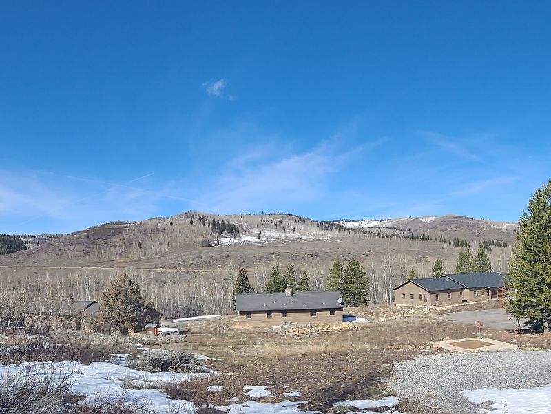
| The old USU Forestry Camp has a new life, looking west toward Tony Grove | |||
 |
 |
||
| Recent beaver activity near the Forestry Camp - fallen trees and a channel to transport material back to the pond | |||
 |
|||
| Our GPS track (red) shows about 4.2 miles and 830 feet of ascent, the blue line shows a walk through the old USU Forestry Station. You can look at our route using Google Earth or download our GPS file | |||