
Home
Twin Creek to Blind Hollow, 12 June, 2021
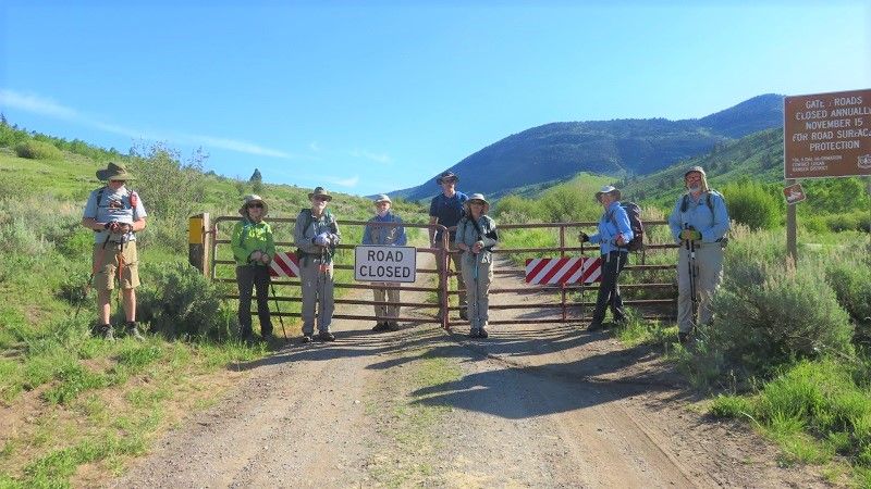
Nine hikers set out on a lovely summer morning to do a point-to-point hike from Twin Creek to Blind Hollow: Teresa, Dave W., Jane, Dustin, Ralph, Dave P., April, Brent, and Laurel (leader). This was our first car-shuttle hike in over a year because COVID prevented doing any in 2020. We first drove to our end point at the Blind Hollow trailhead and left a car there on the way to Twin Creek. We started out on the Twin Creek road from the highway, as the winter closure gate had not quite opened yet.
This was a good time for this hike because the livestock had not yet arrived. The first mile of walking on the road wasn’t very steep, and it was still relatively cool. After the first stream crossing, the grade increased and the temperature gradually warmed, until we were glad for frequent stops in shady patches as we ascended.
We duly noted the two springs from which we believe Twin Creek takes its name, although only one was easily visible from the road. We also looked at Bubble Spring, where the only bubbles appeared to be the result of water falling from a pipe into a small pool.
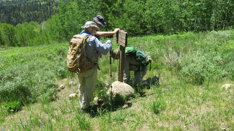
Shortly past Bubble Spring we stopped for lunch in a shady aspen grove with convenient logs for sitting. Then we went down a short distance into Bear Hollow and then up through some healthy aspen groves until we reached the turnoff to Hansen Pond and Blind Hollow. The sign at that junction was, as usual, lying on the ground, but several hikers propped it back up with some rocks.
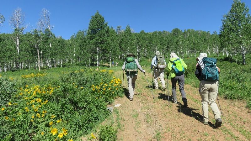
A couple of horseback riders passed us at the junction with the main Blind Hollow trail, and then we made the pleasant descent down Blind Hollow through glorious greenery and occasional crossings of a trickling stream.
Once we reached the Blind Hollow trailhead, the shuttle car driver delivered the other drivers to their cars at Twin Creek, who then came back to pick up the rest of the hikers.
Trip Summary:
- Started on Twin Creek trail about 8:50
- Lunch from 11:25 to 11:55
- Back at the Blind Hollow trailhead around 3:00
- Back in Logan a bit after 3:30
- Sunny and warm, with an occasional light breeze and scenic wispy clouds
- Hiked about 9 miles with about 2000 feet of ascent
Thanks to Laurel for the narrative and photos, Ralph for photos and Dave for photos and GPS data.
 |
|
| Starting out
at the bottom of the Twin Creek Road |
|
 |
 |
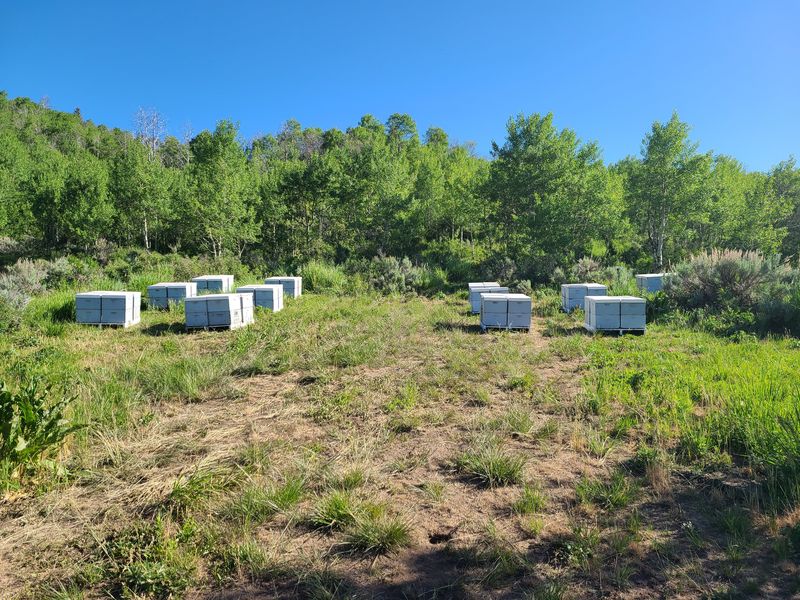
| Beehives had already been put out
near the road |
Approaching Bubble Spring |
 |
 |
| No more bubbles! The spring has been piped! | Larkspur |
 |
|
| Hiking up the Twin Creek Road | |
 |
|
| Lunch in a shady spot | |
 |
|
| "Fixing" the Hansen Pond Trail sign |
|
 |
|
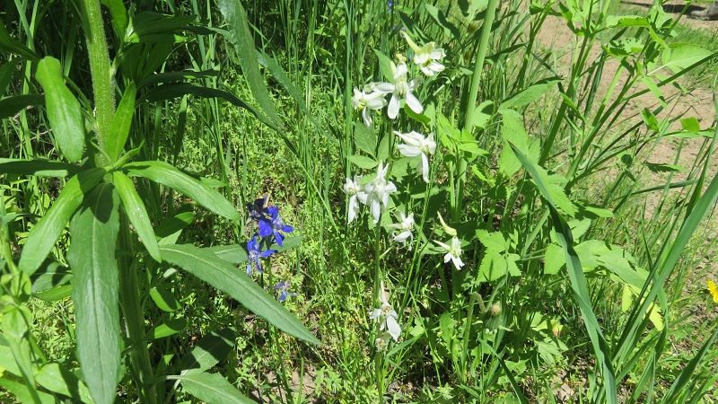
| Blue and white larkspur flowers | |
 |
 |
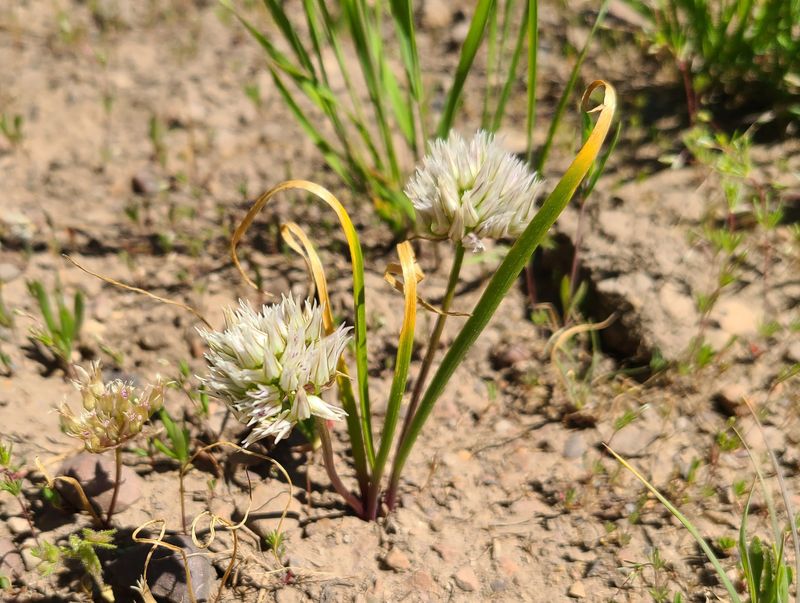
| Wild onion |
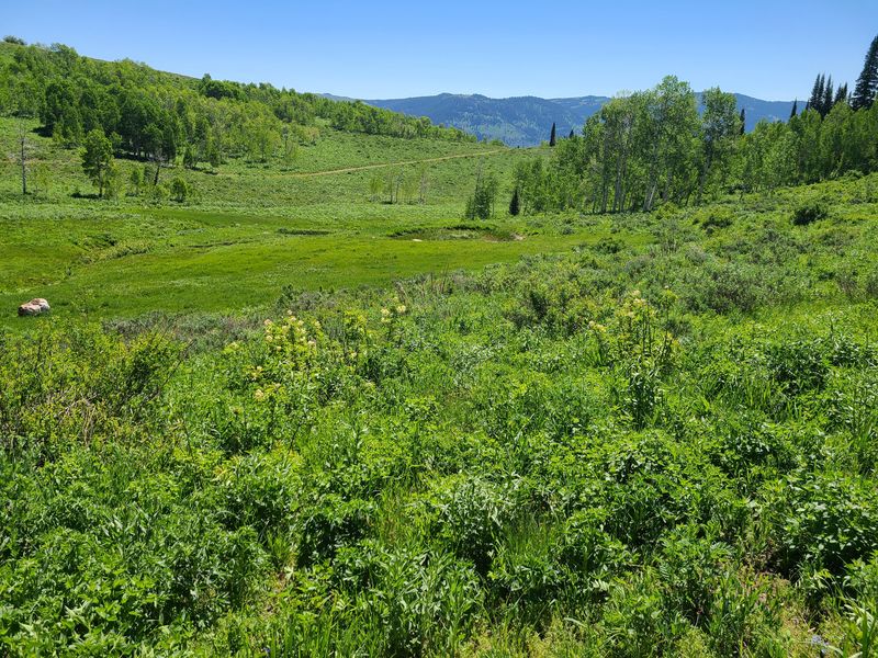
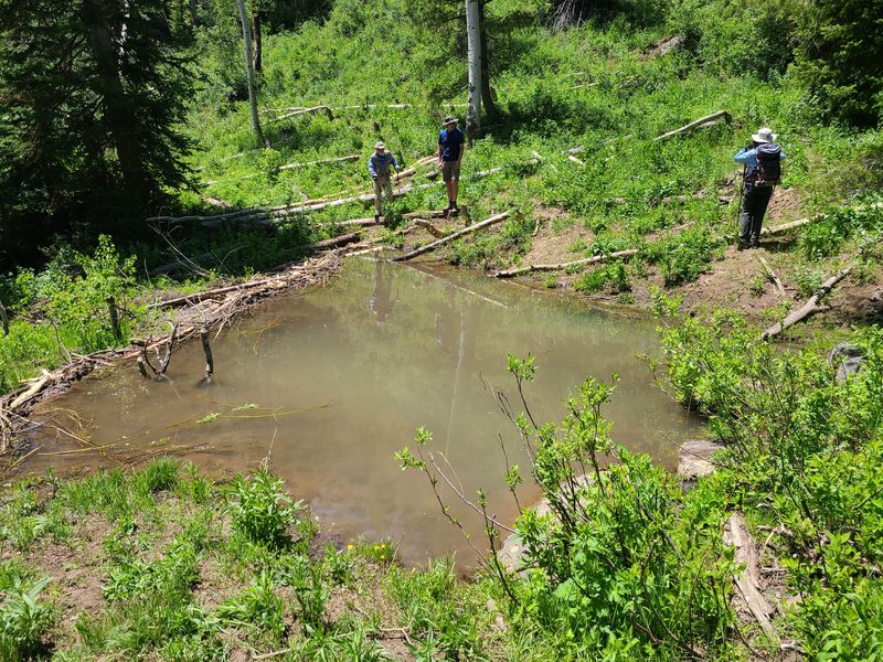
Blind Hollow beaver pond |
 |
|
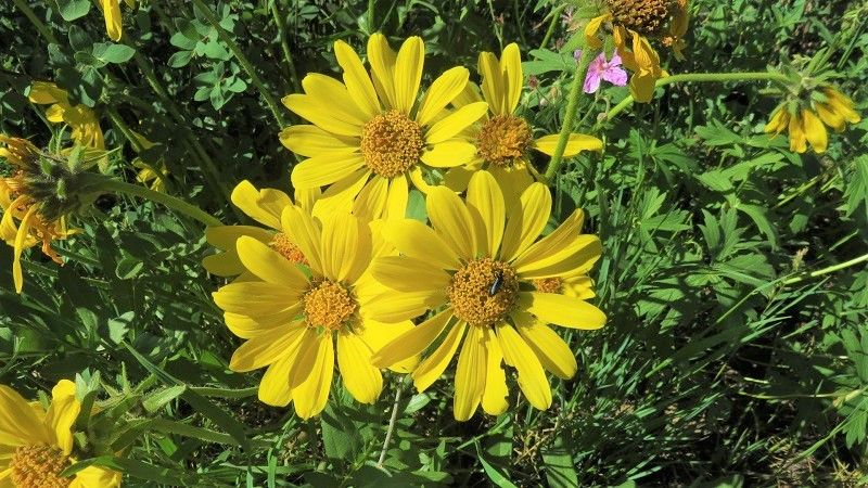
| Bigleaf balsamroot | |
 |
|
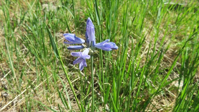
| Wild hyacinth (Tritelia) |
|
 |
|
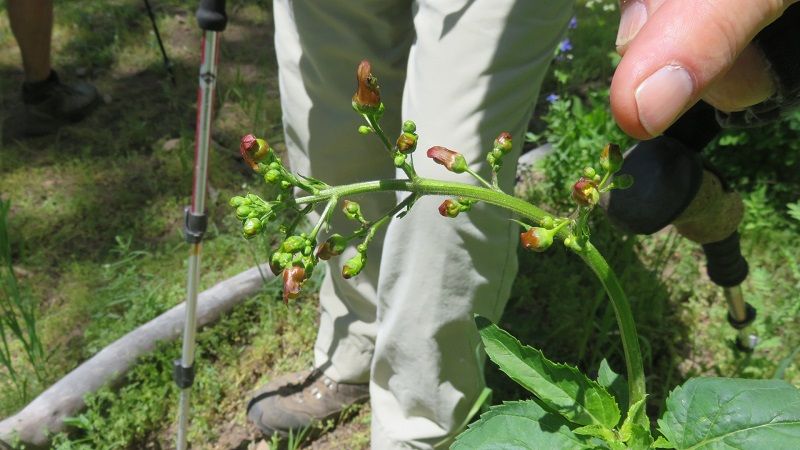
| Hare figwort (Scrophularia) |
|
 |
|
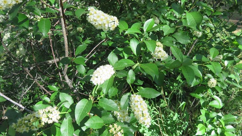
| Chokecherry | |
 |
|
|
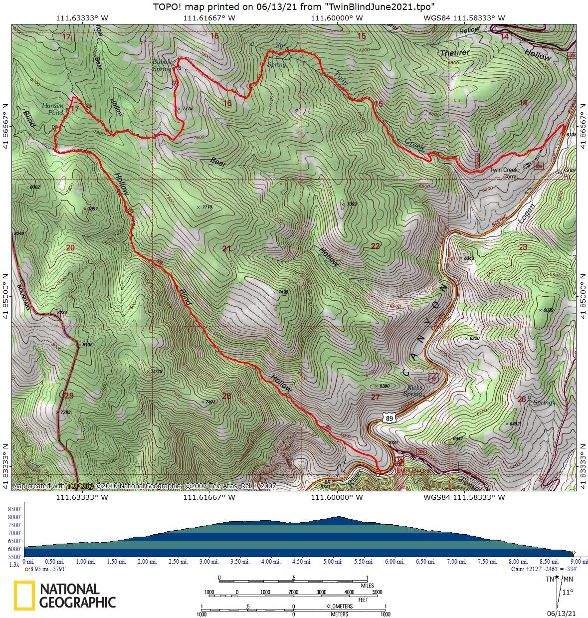
Our GPS track shows about 9
miles and 2000 feet of ascent.
You can look at our route using Google Earth or download our GPS file. |
|