Home
White Canyon Hike, September 7, 2014
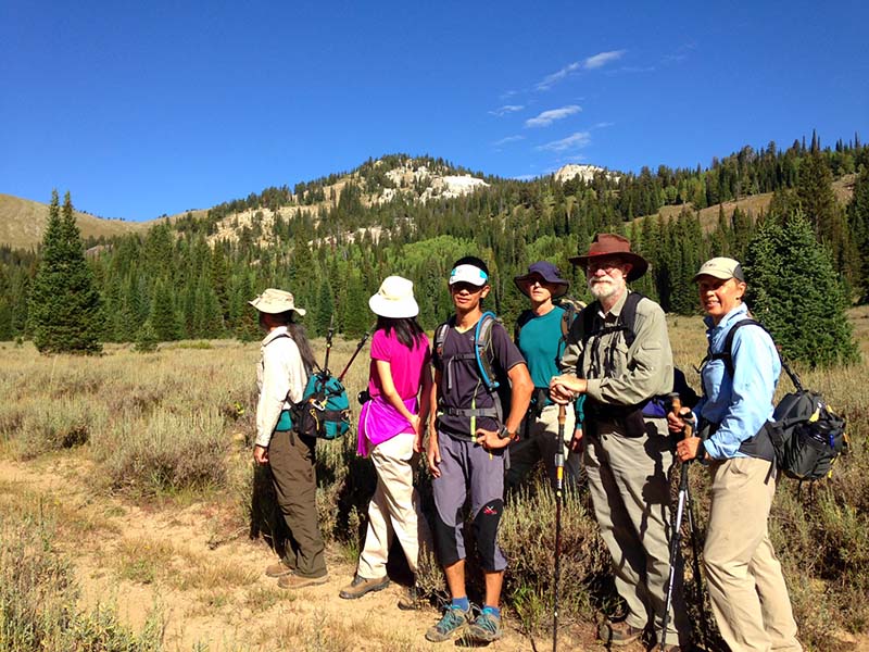
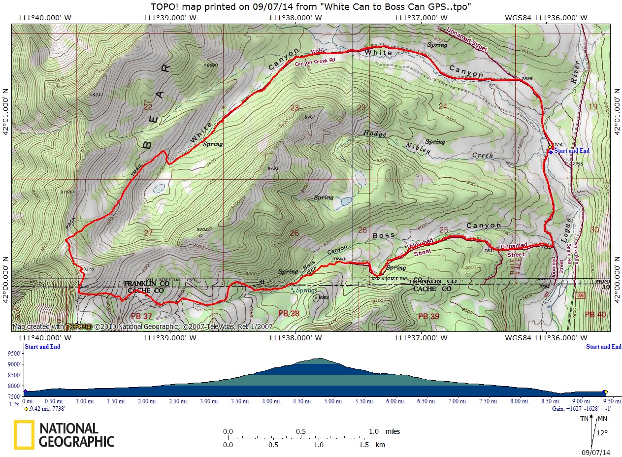
Seven Cache hikers, Dan (the leader), Dave P., Dave W., Jane, Denis, Fan and Liujun, carpooled for the long drive to the Boss Canyon trailhead in Franklin basin, just north of the Utah-Idaho border.
About 9:20 we started hiking through an open sagebrush meadow while hawks soared overhead. Before long the trail entered forested terrain and we lost our view of the white quartzite cliffs that apparently gave this canyon it's name. The old road was easy to follow until it came to an end in three miles. From this point, we had difficulty finding the path as it switched back from the canyon bottom. We tried to follow the route as shown on old maps and faintly visible on Google Earth, but we ended up "bushwhacking" through a patch of forest before climbing onto the main ridge of the Bear River range.
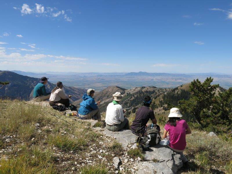
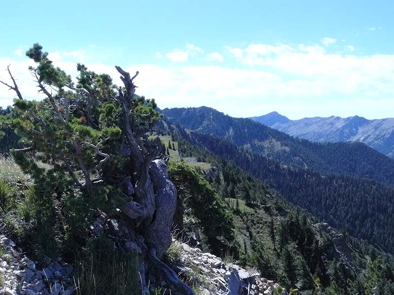
A makeshift sign here marked the trail into North Fork of High Creek, but we hiked south on the ridge to a peak where we had lunch overlooking Cache Valley, with views of Cherry Peak to the south, Clarkston mountain to the west and the Uinta mountains in the distant southeast.
After lunch we continued through open meadow to the south and east and descending into Boss Canyon to the winter "rescue" hut. Here we spent a few minutes picking up trash before resuming our hike down the canyon. We encountered several ATV riders and observed graffiti carved into aspen trunks by Peruvian sheepherders. The trail turned north at the bottom of Boss Canyon for 3/4 mile before arriving at the parking area where we started our hike.
Trip Summary:
- Started hiking about 9:20
- Lunch on the ridge, about 12:20 to 1:00
- Back to our cars about 3:00 and Logan by 4:15
- The GPS track shows 9.4 miles with over 1500 feet of elevation
Thanks to Dan for the narrative and photos, Dave P. for photos and Dave W. for photos and GPS work
|
|
| Hiking along the abandoned jeep road with the quartzite rocks of White Canyon in the background | |
|
|
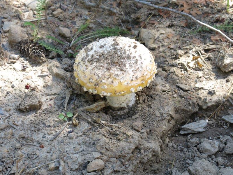
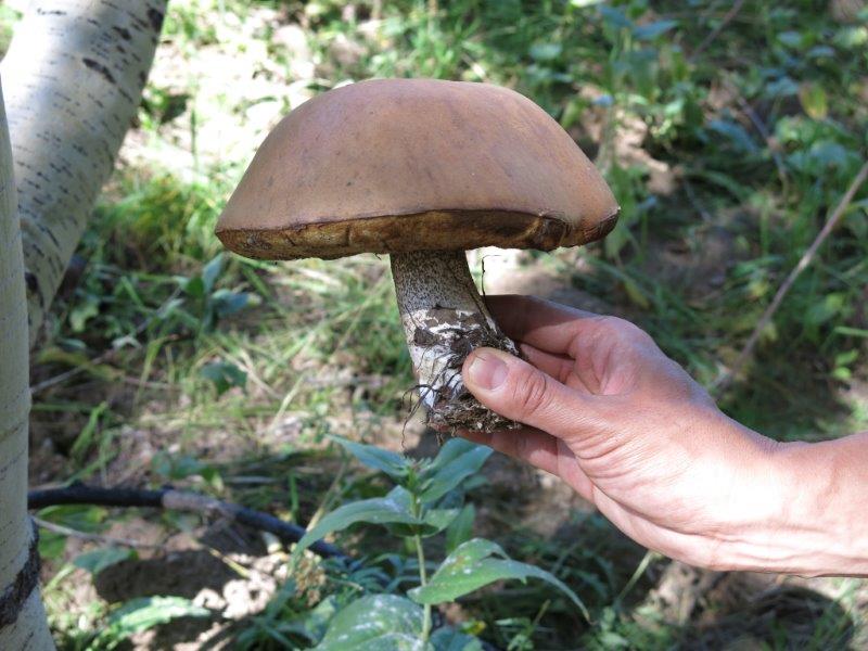
Some of the many mushrooms we saw along the way |
|
|
|
| Gooseberry currant | Hiking along the ridge crest |
|
|
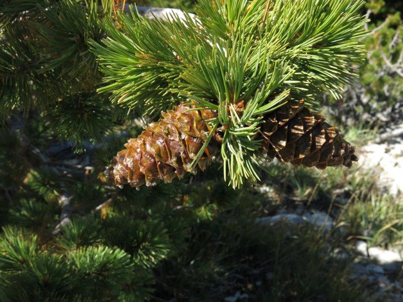
| Lunch with a view! | Limber pine cones |
|
|
| Limber pine on the ridge crest with Cherry Peak in the distance | |