
Home
White Pine Lake, 30 August, 2026
Twelve hikers left Logan shortly after 8 a.m. for a late summer hike to the popular White Pine Lake. The day began mostly cloudy with a few sprinkles and cool temperatures. The forecast called for gradual clearing after about noon.
The group arrived at Tony Grove Lake parking lot at 9 a.m. Plenty of parking was available. While the group was still gathering in the parking lot, a bald eagle was spotted flying over Tony Grove Lake.
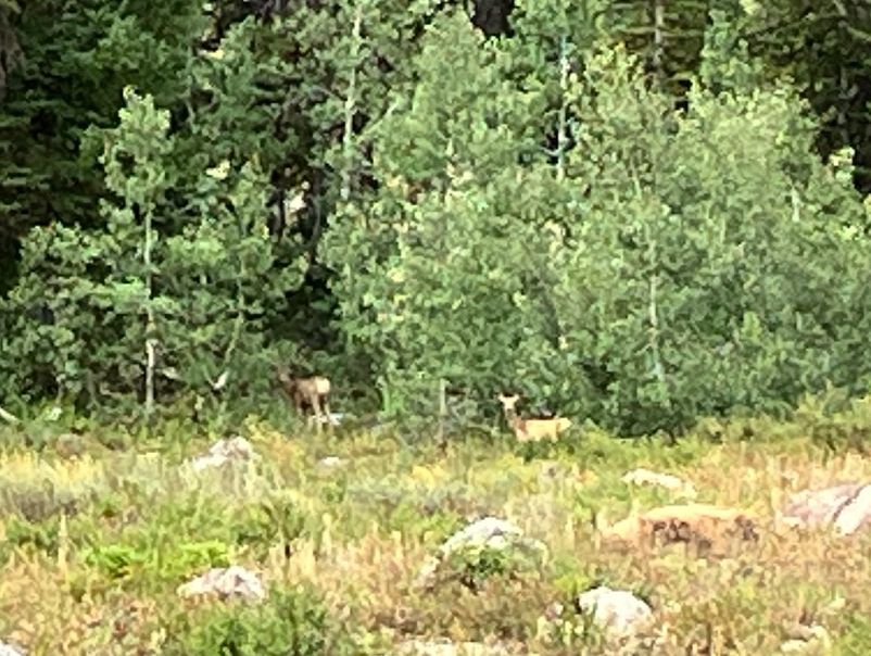
At the high point of the hike about 2.4 miles up, an interesting low cloud was observed over Mt. Gog and the cirque above White Pine Lake. Near the lake, a young mule deer buck, doe and fawn were spotted browsing in the trees. During lunch at the lake a nosy chipmunk was watching and waiting nearby for snacks.
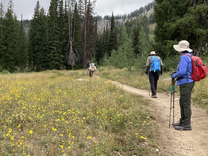
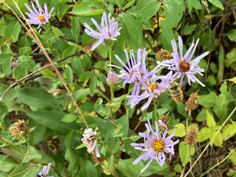
A few late summer wildflowers were in bloom. Birds were plentiful and included Clark’s nutcrackers and a Stellar’s jay. A few backpackers and hikers were also encountered.
Trip Summary:
- 12 hikers: Susan (trip leader), Richard, Jim, Nancy, Dave P., Teresa, Dave W., Jane, Brent J., Brent L., Stephanie, and Stevie
- Left Logan shortly after 8:00 a.m. and drove 26 miles to the Tony Grove Lake parking lot. On the trail about 9:10 and lunch at White Pine Lake from 11:30 to noon. Back to trailhead parking at 2:10 and Logan about 3:10
- Cloudy skies and temperatures in the upper 50s at the start of the hike; ending with partly sunny skies, warmer, and breezy
- Around 7.8 miles round trip, with over 1200 feet of ascent
Thanks
to Susan for the narrative and photos, Dave W, Stevie,
Dave P, and Jane for photos, and Teresa for photos and
GPS data.
 |
|||
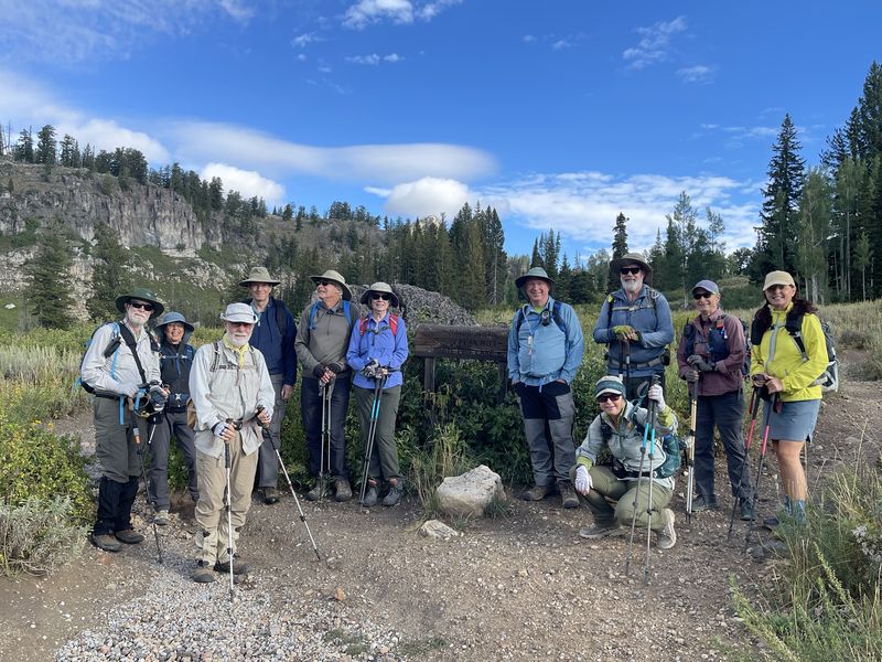
| The White Pine
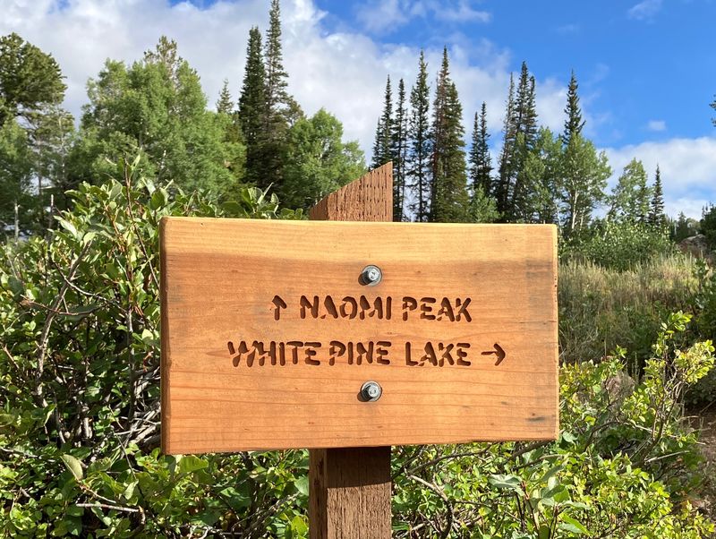
Lake - Naomi Peak junction near the trailhead |
|||
 |
|||
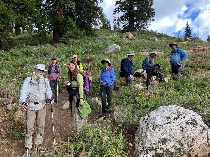
| The other White
Pine Lake - Naomi Peak junction, about a
mile from the trailhead |
|||
2026.jpg) |
2026.jpg) |
||
| Hikers on the White Pine Lake trail |
Mt. Gog and "Pika Peak", viewed from
the hike's high point |
||
 |
|||
| Showy goldeneye flowers near White
Pine Lake |
|||
 |
|||
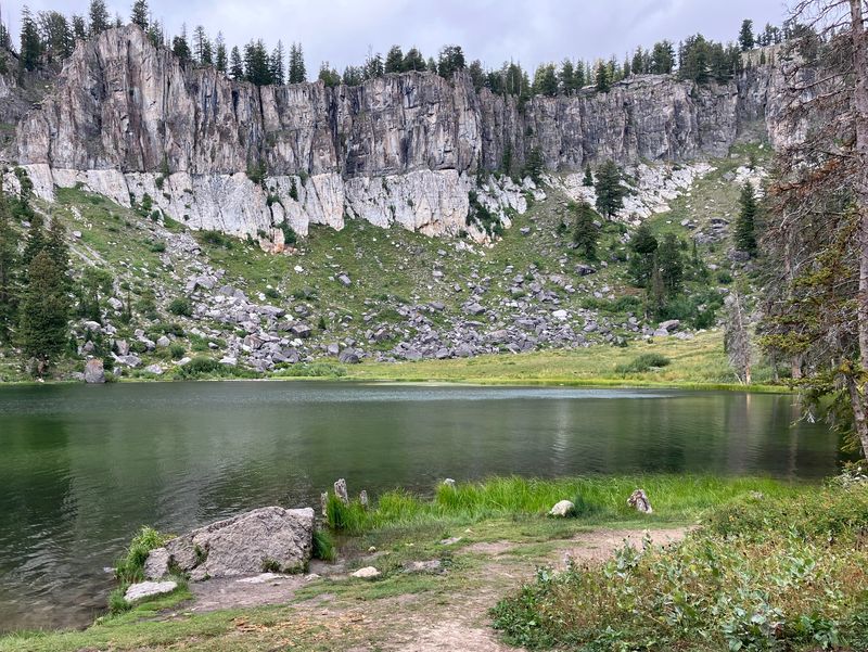
| White Pine Lake | |||
 |
|||
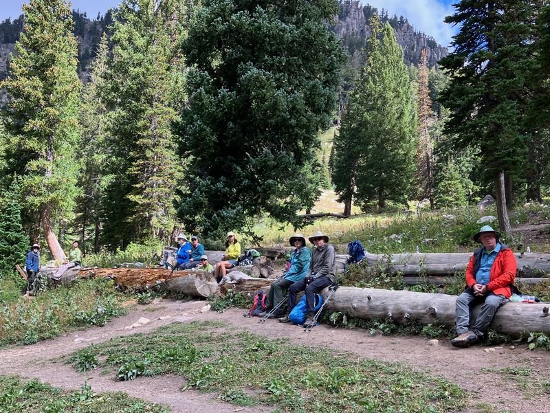
| Lunch at White Pine Lake | |||
 |
 |
||
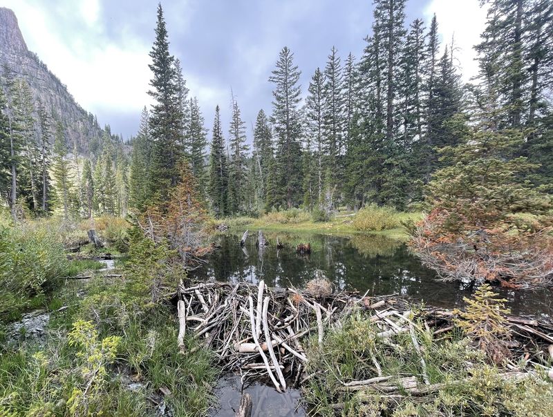
| Beaver dam in the White Pine Lake
outlet |
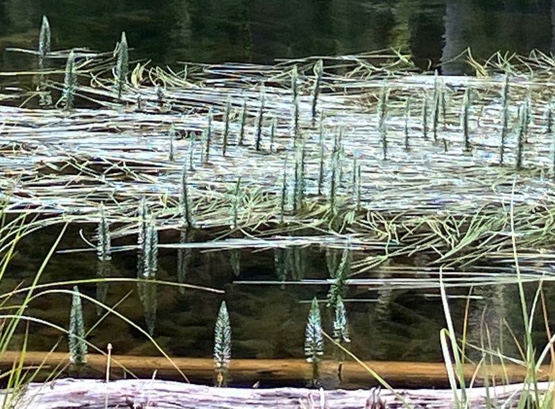
Mare's tail plants in White Pine Lake | ||
 |
 |
||
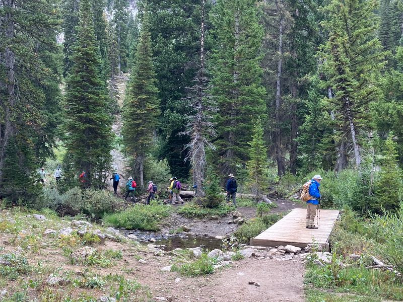
| Bridge over White Pine Creek |
Asters - and a bee | ||
 |
 |
||
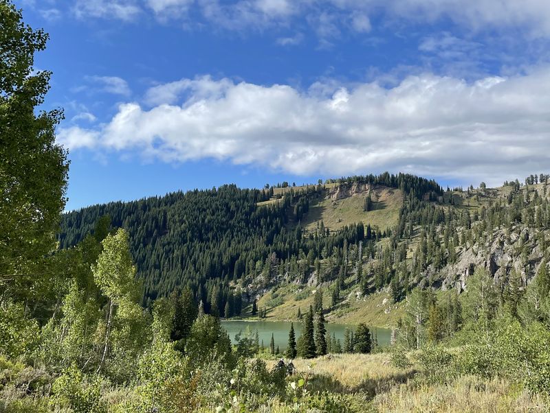
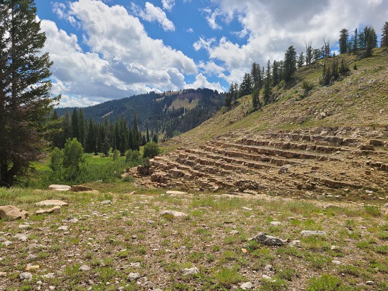
| Almost back to the trailhead and Tony Grove Lake | A hiker took a side trip to see the
quartzite "stairs' |
||
 |
 |
||
| Deer |
We were impressed by the new trail
sign |
||
.JPG) |
|||
|
Our GPS track shows about 7.8 miles
with over 1200 feet of ascent.
You can look at our route using Google Earth or download our GPS file. |
|||