Home
Willow Creek -Little Cottonwood Loop, 30 May, 2021 (Memorial Day weekend)
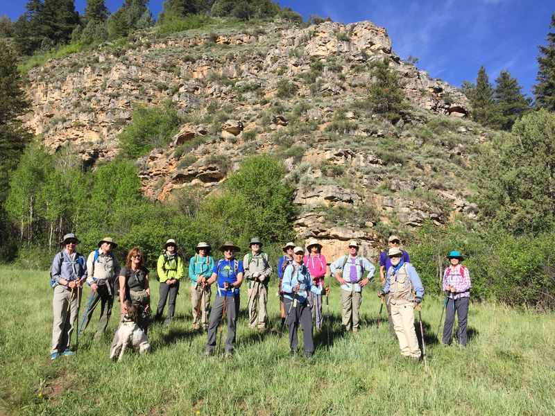
Fifteen hikers, Susan (trip leader), Jane, Dave W., Dave P., Laurel, Dave (new), Catherine (new), Jim, Nancy, Ralph, Christine, April (new), Chris, Dick, Deanna and Jasper the dog carpooled from Logan, leaving at about 8:05 a.m. and arriving at the Right Hand Fork trailhead about 8:30 a.m. Everyone was COVID-19 vaccinated and felt comfortable carpooling without masks.
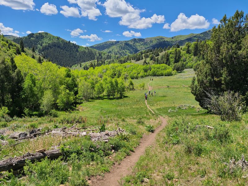
The hikers started on the Right-Hand Fork Trail about 8:40 a.m. continuing on the Willow Creek Trail to an unmarked cutoff located at a sharp bend/switchback and small stream crossing (2 miles).
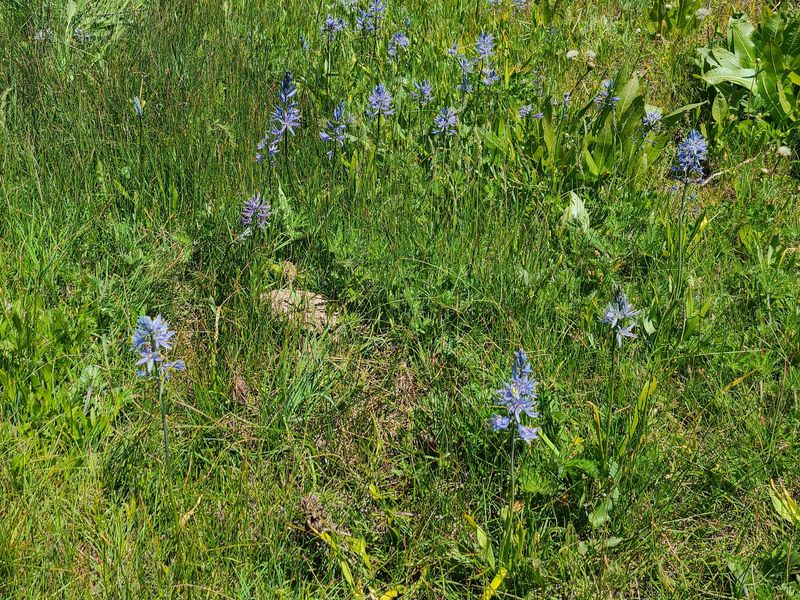
This faint normally very muddy path continued to a small cow pond. From there, the footpath became faint to non-existent, and the group continued cross-country through (pre-bloom) Mule-ears (Wyethia amplexicaulis) north to a wide open basin at the head of Maughan Hollow. This year, due to dry soils and serious drought conditions, there were fewer flowers but we were rewarded with stands of yellow Grays biscuitroot (Lomatium grayi), some blue camas (Camassia quamash) in remaining wet areas, as well as other wildflower species.
The group proceeded north across the basin to the ridge saddle. The Little Cottonwood jeep road was located just beyond this point. The group stopped for lunch at a rocky spot near some big tooth maples on the ridge near the road.
Views of Mt Elmer, Beirdneau Peak, Logan Peak, Logan Canyon, and the Cache Valley and Wellsville Mountains could be seen from here. Unlike 2019, there was little snow left on the peaks. Following lunch, the group continued west along the jeep road and down through Little Cottonwood Canyon to the corral and arrived at the parking area at 1:15pm.
When we first arrived at the trailhead three sets of tent campers were camping illegally in the day-use only area. Other than two mountain bikers coming down the trail as the group started up, we encountered no one else for the duration of the hike. Upon return the group encountered a few mountain bikers heading out, and a few extra vehicles in the parking area. The tent campers were gone.
Trip Summary:
- Fifteen participants: Susan (trip leader), Jane, Dave W., Dave P., Laurel, Dave (new) Catherine (new), Jim, Nancy, Ralph, Christine, April (new), Chris, Dick, Deanna and Jasper the dog, drove 14 miles to the Right-Hand Fork Trailhead
- Started hiking about 8:40 a.m. with early lunch from 10:50 a.m. to about 11:10 at the ridge by the jeep road
- Back at the parking area about 12:40 p.m. and Logan about 1:15 p.m.
- Trails were mostly dry this year
- Lush green spring growth but fewer wildflowers than usual
- Sunny skies with a few white clouds and pleasant temperatures about 70 degrees with a light breeze
- About 6.5 miles with 1100 feet of ascent
Thanks to Susan for the narrative and photos, Raph for photos and Dave W. for photos and GPS data.
 |
|
| Cache Hikers,
near the WIllow Creek - Steel Hollow trail
junction |
|
 |
 |
| At the Right Hand Fork
Trailhead |
We followed this cowpath
much of the way from the Willow Creek Trail to
Maughan Hollow |
 |
|
| Standing in a
mulesear meadow, looking over upper Maughan Hollow
to the peaks of the Bear River Range |
|
 |
 |
| Lunch on the ridge between Maughan
Hollow and Little Cottonwood Creek |
Walking along the Little Cottonwood
road (closed
to vehicles until June) |
 |
|
| Hiking down the Little Cottonwood trail | |
 |
 |
| Geranium |
Clematis |
 |
 |
| Bigleaf balsamroot |
Blue camas |
 |
 |
| Blue camas in a moist area |
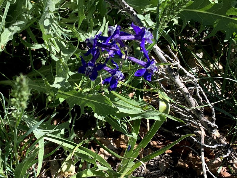
Larkspur |
 |
|
|
Our GPS track shows about 6 1/2
miles and 1100 feet of ascent and
descent.
You can look at our route using Google Earth or download our GPS file. |
|