Home
Willow Creek Loop, 31 May, 2026
Willow Creek - Cottonwood Loop, 31 May, 2026
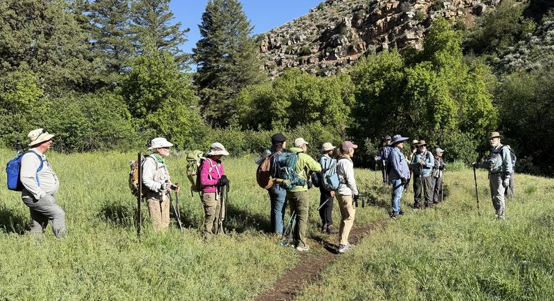
Fourteen hikers carpooled to the Right Hand Fork Trailhead on a beautiful sunny late spring Sunday morning. One additional hiker met us at the trailhead.
After about two miles up the Right Fork and Willow Creek Trails, the group left the main trail at a sharp bend/switchback and small stream crossing and headed northwest on an unmarked route.
Steady rain for most of the day Saturday made for muddy and wet hiking. Hikers passed a small stock pond and then continuing up through sparsely blooming mule-ears (Wyethia amplexicaulis) and then north through a wide-open basin at the head of Maughan Hollow. Normally abundant, only small patches of wildflowers were observed. Bulbous bluegrass has invaded much of this area.
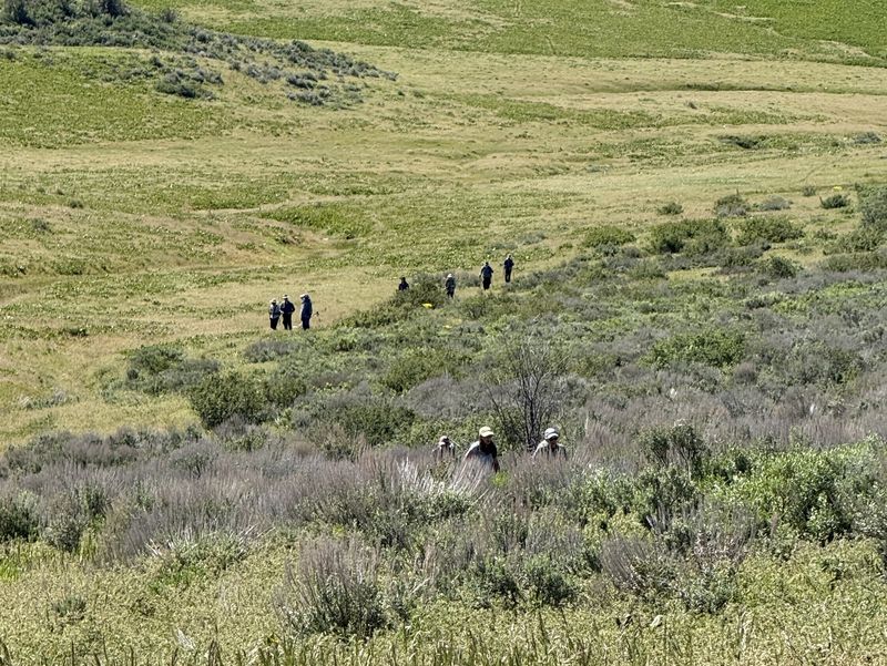
The group crossed the basin heading toward the ridge saddle. The Little Cottonwood jeep road is located just beyond this point. As per tradition, the group stopped for lunch at a shaded rocky spot near some big tooth maples on the ridge near the road.
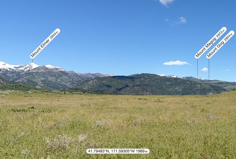
Views of Mt Elmer, Beirdneau Peak, Logan Peak, Logan Canyon, and the Cache Valley and Wellsville Mountains are particularly striking at this location. Some snow remained on the peaks but significantly less than in recent years.
Following lunch, the group crossed a lay down fence and continued a short distance along the jeep road where they took a cutoff to bypass the muddy road.
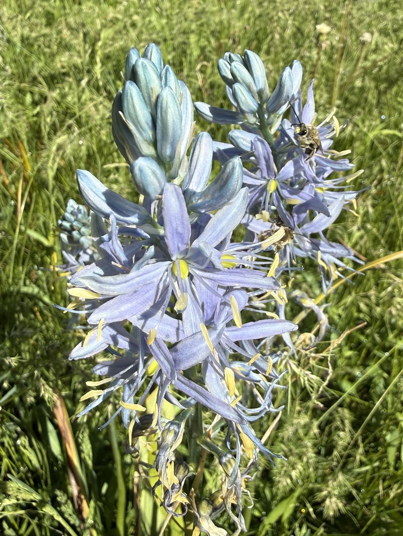
Blue camas meadows were a week or two past peak. The group continued down Little Cottonwood Canyon to the corral and parking area.
Trip Summary:
- Fifteen hikers: Brent J., Brent L., Dave P., Dave W., Deb, Jane, Kamren, Laurel, Lin, Madhavan, Ralph, Richard, Stephanie, Susan (leader), and Teresa drove 13 miles to park at the Right Hand Fork trailhead past Camp Lomia in Right Fork off Logan Canyon
- Arrived at trailhead about 8:30 a.m., started hiking about 8:40 a.m., lunch about 10:45 a.m. to 11:10 a.m., back at trailhead about 12:45 p.m
- Encountered only one other hiker on the trail
- Muddy trails, wet grass and vegetation, flowing streams, few wildflowers but otherwise lush spring growth
- Full sun, temperatures in the upper 60s with occasional light breeze during the latter half of the hike
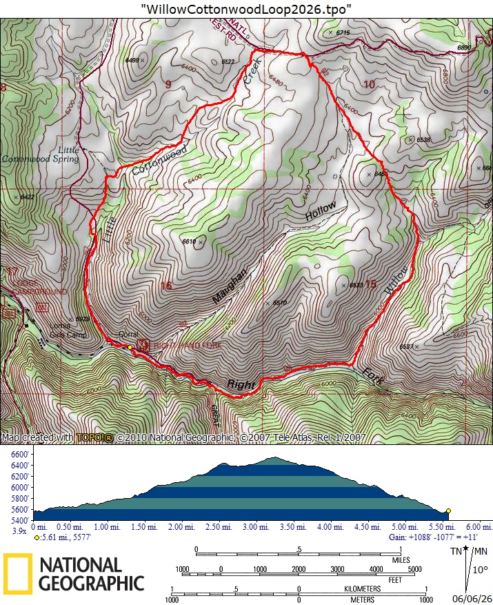
- Hiked about 6 miles with 1100 feet of ascent
Thanks
to Susan for the narrative and photos, Jane, Dave W
and Dave P for photos, and Ralph for photos and for
GPS data.
 |
|||
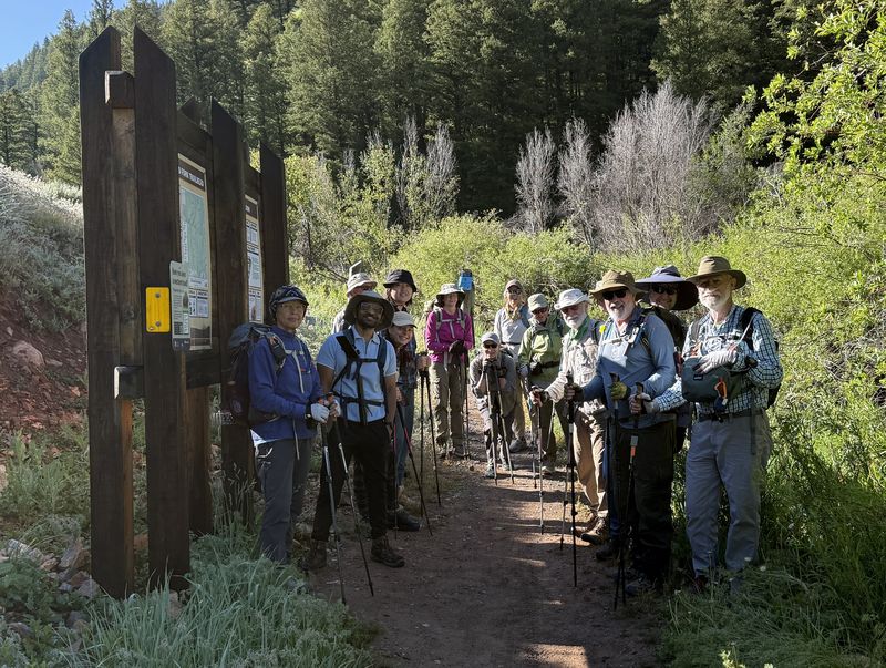
| The Right Hand Fork Trailhead | |||
 |
|||
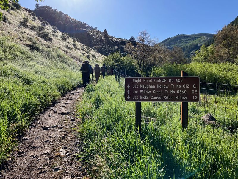
| Starting out on the trail | |||
 |
|||
| Encouraging
hikers to join the National Trails Day work
project for this trail, held on the following
Saturday |
|||
 |
 |
||
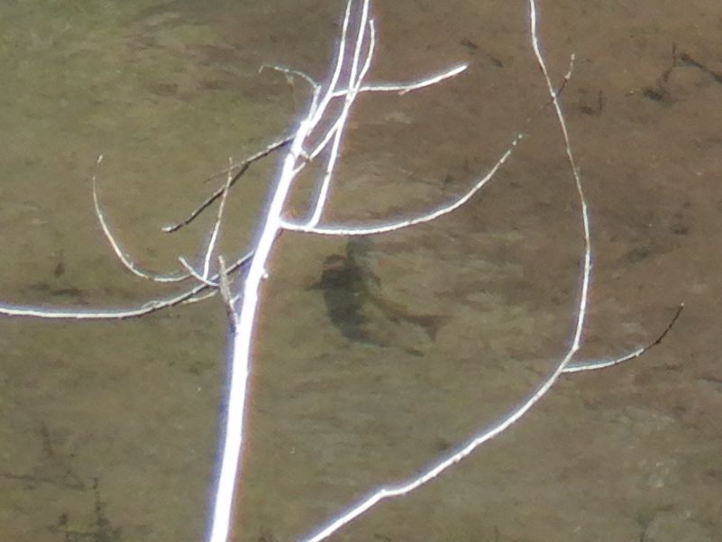
| We could see trout in the clear water |
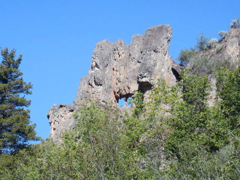
A natural window about 1 mile from the
trailhead |
||
 |
 |
||
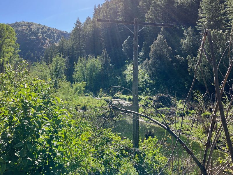
| A telephone line and road once
followed this route between Logan and Bear Lake |
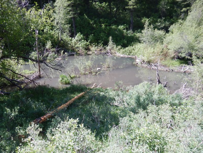
Murky water and a peeled log, evidence
of current beaver activity |
||
 |
2026.jpg) |
||
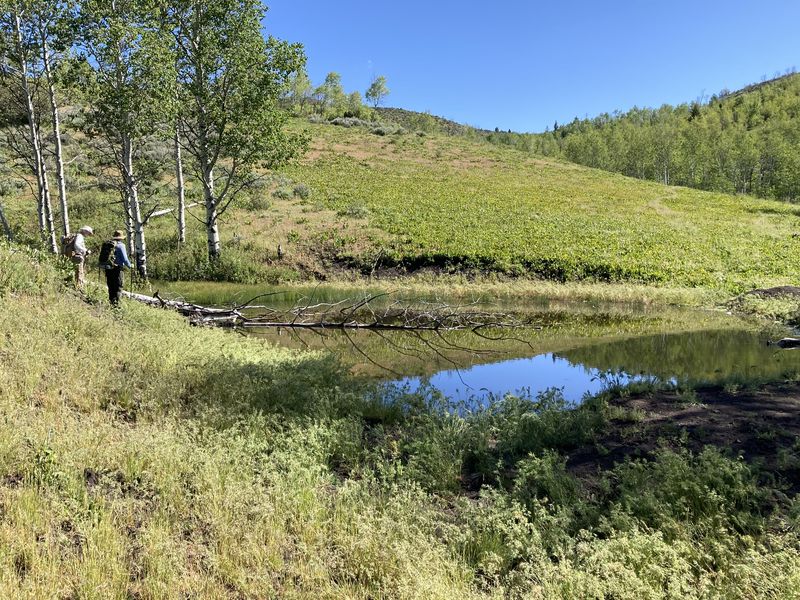
| A stock pond and a field of American bistort flowers, between Willow Creek and Maughan Hollow | |||
2026.jpg) S S |
|||
| Looking over
Maughan Hollow while standing in a field of mule
ears (not in bloom this year) |
|||
 |
|||
| Climbing out
of Maughan Hollow |
|||
2026.jpg) |
|||
| Lunch on the ridge between Maughan Hollow and Little Cottonwood Creek | |||
2026.jpg) |
|||
| Following the
jeep road that runs from Mud Flat to Little
Cottonwood Creek |
|||
 |
|||
| We could see
snow-covered peaks on the main ridge of the Bear
River Range |
|||
 |
 |
||
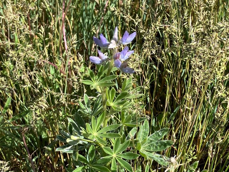
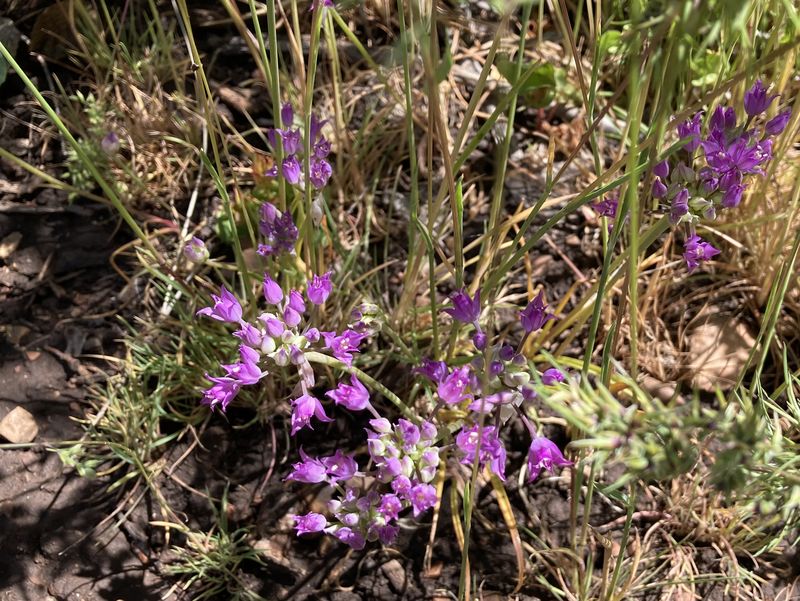
| Lupine | Wild onion |
||
 |
 |
||
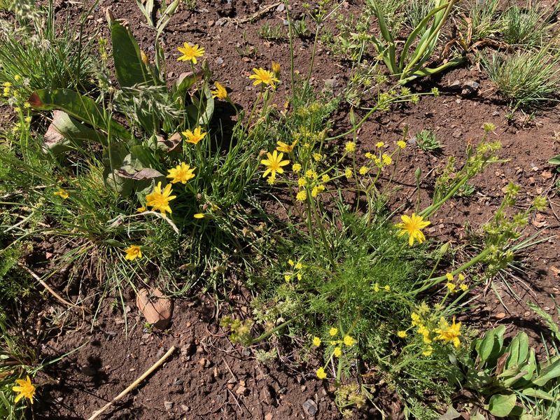
| Mountain dandelion and Grays
biscuitroot |
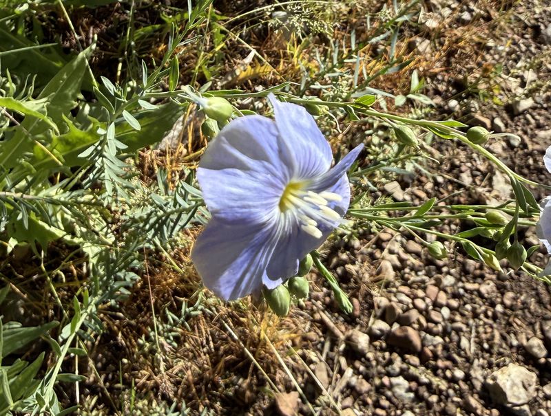
Blue flax |
||
 |
 |
||
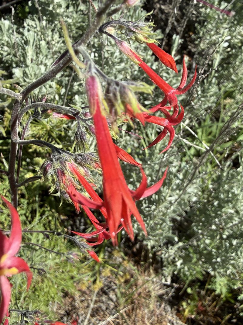
| Scarlet gilia |
We found some blue camas |
||
 |
 |
||
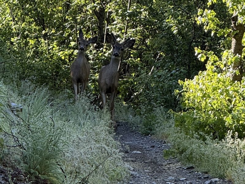
| Two deer on the Willow Creek Trail |
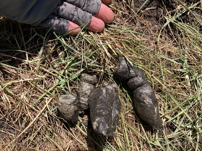
We don't know what animal did this! |
||
 |
|||
|
Our GPS track shows about 6 miles
and 1100 feet of ascent.
You can look at our route using Google Earth
or download our GPS file.
|
|||