Home
Willow Creek - Mud Flat Hike, 26 June, 2022
Ten hikers turned out for the Willow Creek - Mud Flat hike: Teresa, Deanna, Susan, Jane, Laurel, Ralph, Brent, Chris, Joan, and Dan (the leader). We carpooled up Logan Canyon to the Right Hand Fork trailhead and were on the trail by 8:40 a.m. It was a sunny warm day.
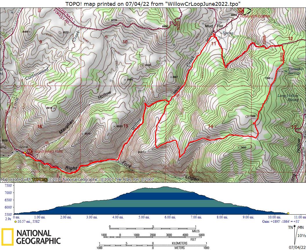
We followed the Right Hand Fork Logan River Trail (605) and Willow Creek GWT (056G), passing horses and mountain bikers as we hiked (and a family of grouse which we saw at close range). There were numerous beaver dams and a couple of gates along the way. After about 3.3 miles of hiking we reached Mud Flat, where we found the foundation of the Mud Flat Ranger Station that was there from 1907 to 1961. Three hikers, Jane, Susan and Chris, turned back to return the way we came.
The rest of the hikers continued up the Temple Fork Road (007), climbing fairly steeply and encountering trucks and four wheelers. As we gained elevation we had great views of the main peaks of the Bear River Range to the northwest and the Wellsville Mountains through the mouth of Logan Canyon. The group turned south on the Hunsaker Spring Road (246) at an elevation of approximately 7300 ft. The road ended after about 1/2 mile and became a trail. We stopped for lunch in a grove of aspen about noon.
After lunch the group continued south to join the Ephraims Cutoff Trail (607), which descended to the west with great views toward Logan Peak and Beirdneau Peak. Cicadas were heard at two separate points along the way. The trail followed an exposed ridge and passed an impressive sinkhole before rejoining the Willow Creek Trail.
From there it was 2.4 miles along Willow Creek and Right Hand Fork Logan River to the trailhead (it had become quite hot by then). We passed hikers, bikers and horsemen, and we watched trout in the stream.
About 2:40 p.m. we reached the trailhead, where some of the hikers cooled off in the stream. We had hiked about 10.3 miles and climbed and descended almost 2000 feet. We returned to Logan by 3:30.
Trip Summary:
- Participants: Teresa, Deanna, Susan, Jane, Laurel, Ralph, Brent, Chris, Joan, and Dan (the leader)
- Drove 14
miles to the Right Hand Fork trailhead
- Started hiking about 8:34 a.m., had lunch from about 11:55 to 12:20, returned to the trailhead about 2:40 p.m. and Logan by 3:30.
- Clear skies
and calm winds, with hot temperatures in the afternoon
- Hiked about
10.3 miles with 2000 feet of ascent & descent
Thanks to Dan for the narrative, photos and GPS data and Jane for photos.
 |
||
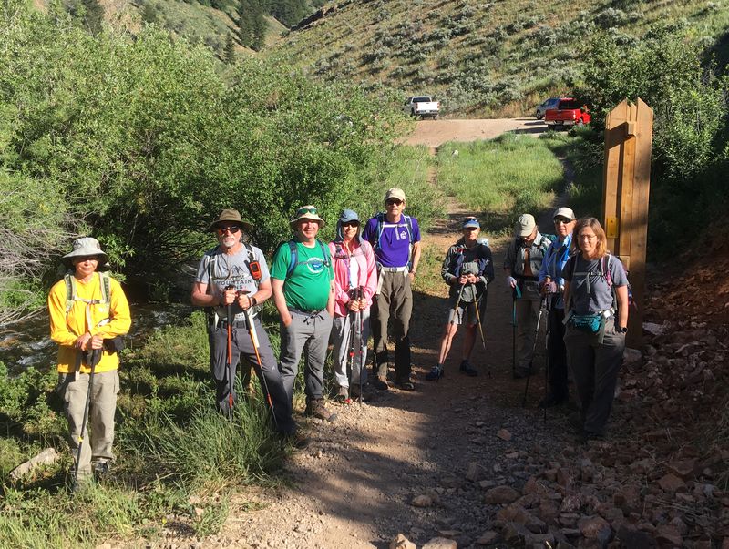
| The beginning
of our trip, the Right Hand Fork Trailhead |
||
 |
||
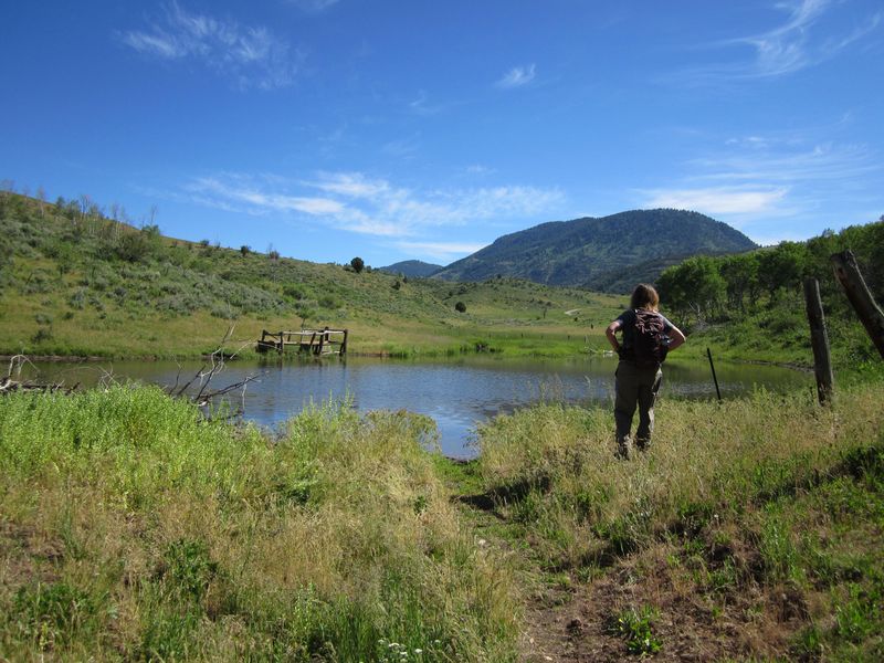
| A beaver pond
near Mud Flat |
||
 |
||
| The foundation of the old Mud Flat Ranger Station | ||
 |
 |
|
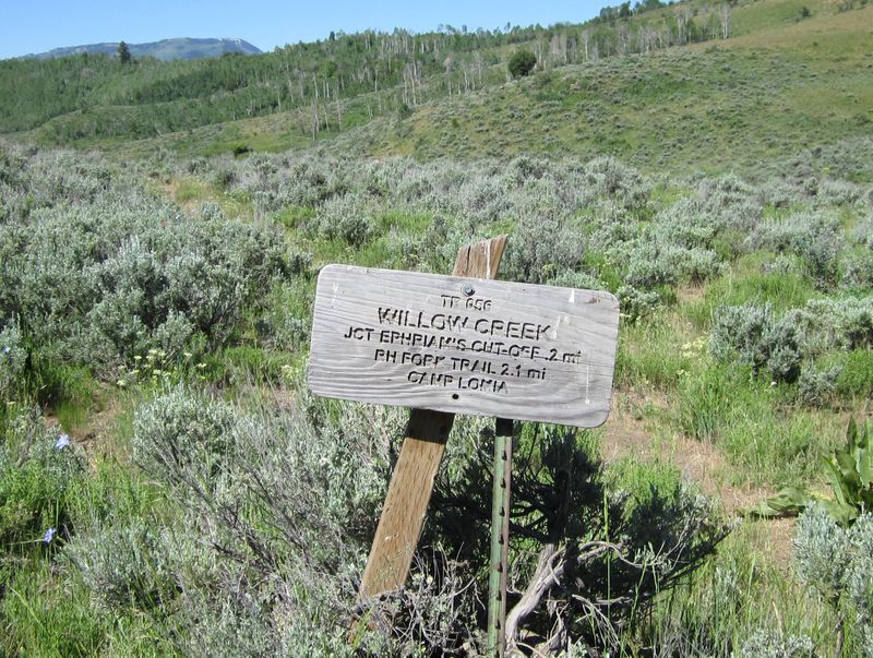
| Mileages on this Mud Flat sign
would be more accurate if the sign was located
about 3/4 mile farther down the trail. |
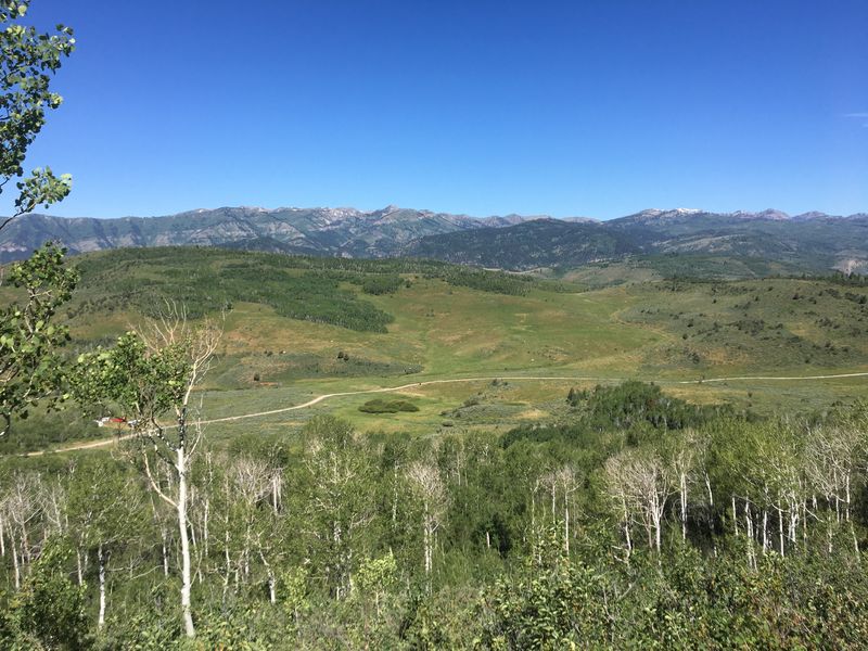
Looking down from
the Temple Fork Road over Mud
Flat and the old
Ranger Station |
|
 |
 |
|
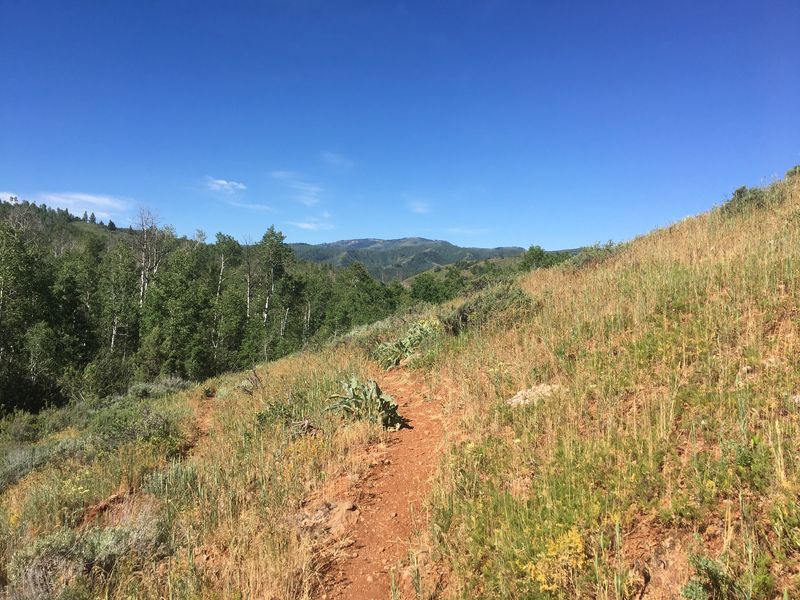
| Ephraims Cutoff Trail traverses a hot,
south-facing slope |
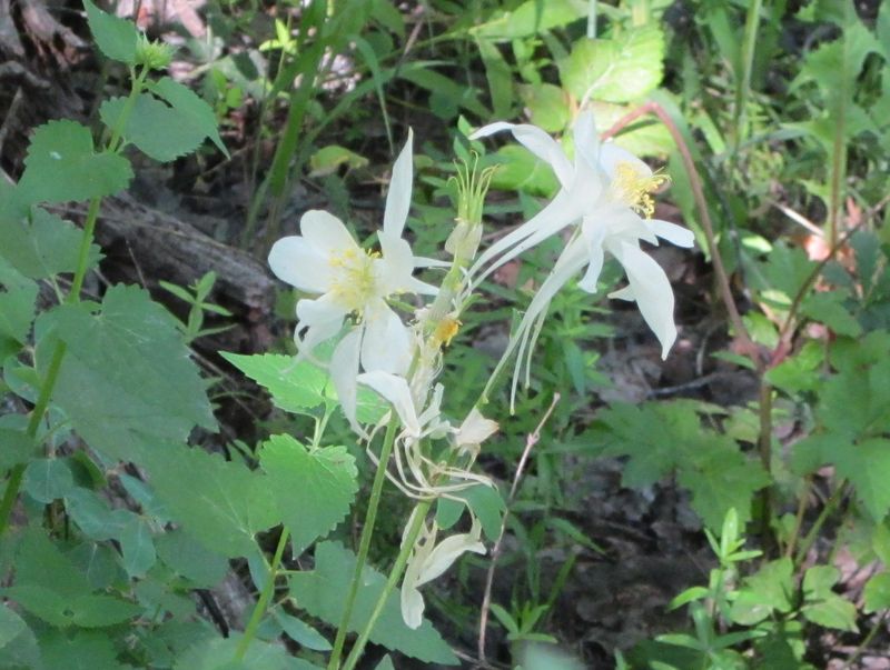
Colorado blue columbine, Aquilegia
coerulea (in Utah, it it is white, not blue) |
|
 |
||
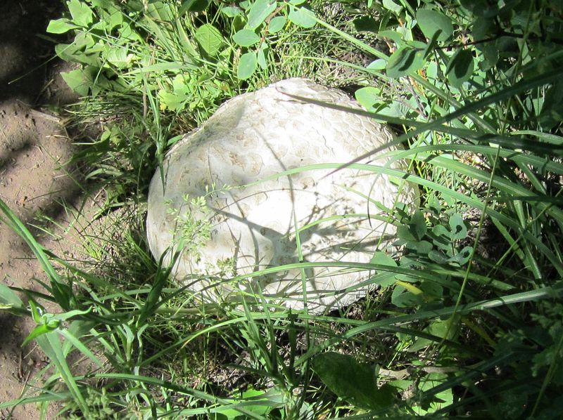
| A large
puffball |
||
 |
||
|
Our GPS track shows about 10.3
miles and 2000 feet of ascent.
You can look at our route using Google Earth or download our GPS file. |
||