Wood Camp Hollow Ski/Snowshoe, 17 February, 2019
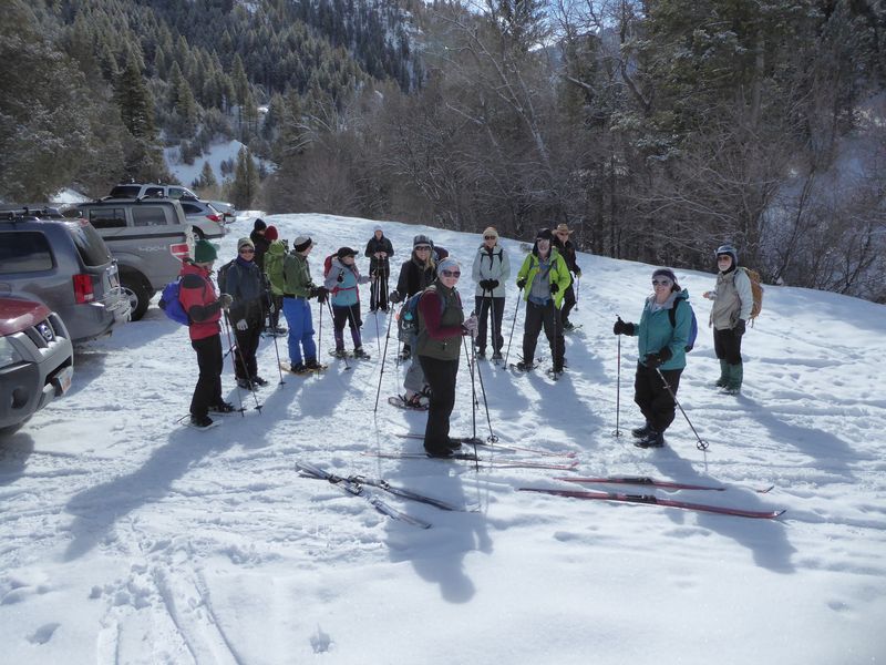
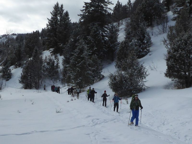
Fifteen people met and headed up to Wood Camp. We were able to drive up to the trailhead although we had to push a couple of vehicles out of frozen ruts in order to turn and park. At the trailhead we had 16 people because another person met us there. Altogether there were 5 cross-country skiers and 11 snowshoers: Marco, Ali, Brent, Jane, Dave W, Teresa, Laurel, Lynne, Tawnya, Maury, Maggie, Rachel, Jesse, Becky, Kathy, and Dave P (leader).
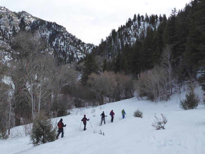
There was a couple inches of new snow on a firm crust, thin clouds and a light breeze. These were good conditions but some skiers had ice buildup from the warming snow and had to stop to scrape and lube their ski bottoms. We saw a young moose across the valley from the west fork. It was climbing up the slope away from us and breaking awkwardly through the crust until it was hidden by juniper trees.
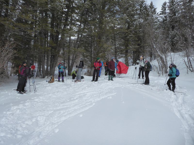
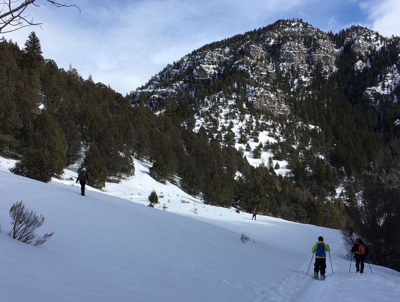
We had lunch about 12:15 in a sunny spot where the trail makes the first switchback, just south of the “Trail →” sign. On the way down the skiers were able to make easy off-trail turns until near the bottom where the new snow was thin, warm and too fast for easy skiing. At that point the snowshoers had an easier time.
Trip Summary:
- Five skiers: Dave W., Maggie, Rachel, Teresa and Dave P. (Leader). Eleven snowshoers: Marco, Ali, Brent, Jane, Laurel, Lynne, Tawnya, Maury, Jesse, Becky and Kathy.
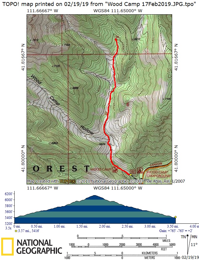
- Drove 13 miles to the Wood Camp trailhead in Logan Canyon.
- Started hiking about 10:45 with lunch about 12:15.
- Back at the trailhead before 2:00 and Logan about 2:20.
- Mostly cloudy skies with a light breeze, 34 °F and 35 inches of snow at our lunch spot.
- 3.5 miles with 750 feet of ascent and descent.
Thanks to Dave P for the narrative, Dave, Jane and Dave W for photos and Teresa for the GPS data.
|
|
| Almost ready to leave the snowy parking area | |
 |
|
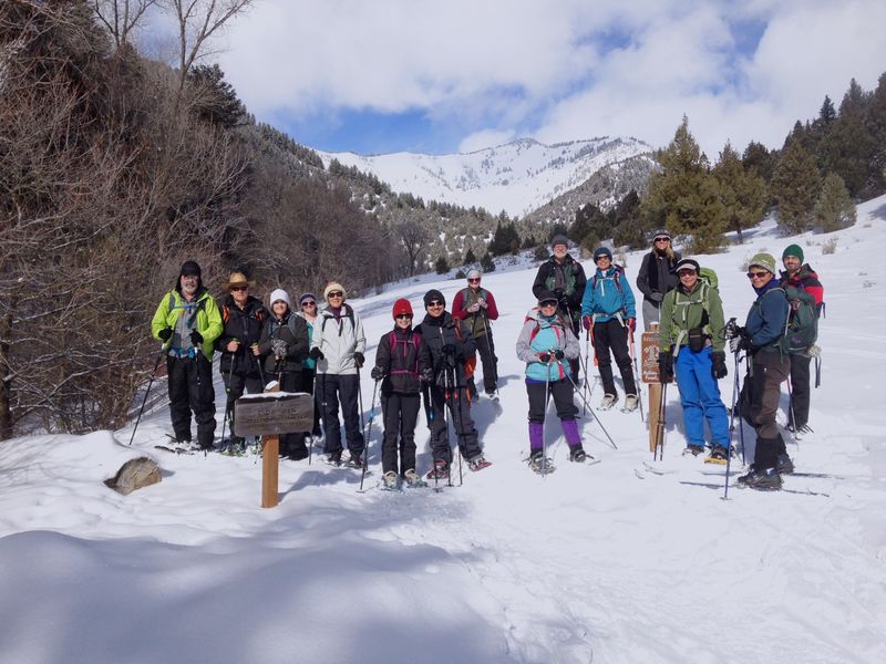
| A sunny start at the trailhead | |
 |
|
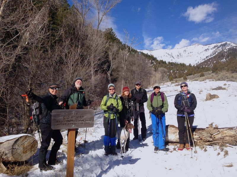
| In February 2018 there was so little snow that we didn't need skis or snowshoes | |
 |
|
| Snowshoers ascending | |
|
|
Getting ready to head back after lunch. |
|
 |
|
| Snowshoers descending | |
 |
|
| Almost down to the trailhead | |
 |
|
| We traveled about 3.6 miles with 750 feet of ascent and descent | |
You can look at our route using: Google Earth or download our GPS file |
|