
Home
Twin Creek, 20 June, 2020
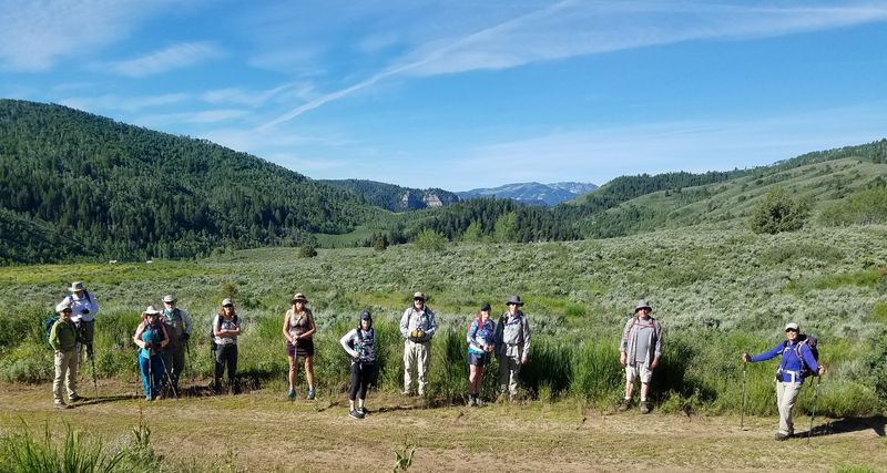
Thirteen Cache Hikers met at Smith's Marketplace for a hike to Twin Creek, Bubble Spring and beyond. Dave W. substituted for Laurel, the scheduled hike leader (Laurel would have preferred a hike from Twin Creek to Blind Hollow, but COVID-19 social distancing precautions prevented us from using a shuttle).
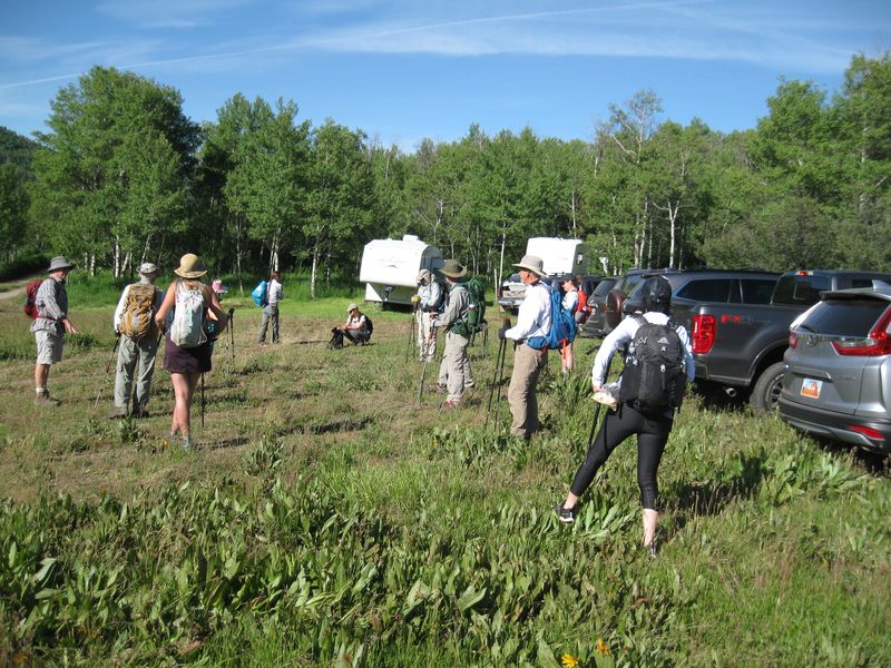
Hikers drove to the Twin Creek Road in separate vehicles to comply with COVID-19 guidance for social distancing (maps were provided to those unfamiliar with the location). There were a couple of RV trailers at the parking area, a designated campsite for the Logan Canyon cattle grazing operation, but there was plenty of room for all. A young woman came from one of the RVs to chat with us. She said cattle were being transported to the mountains for summer grazing, but they would not be brought to the Twin Creek area until mid-August.
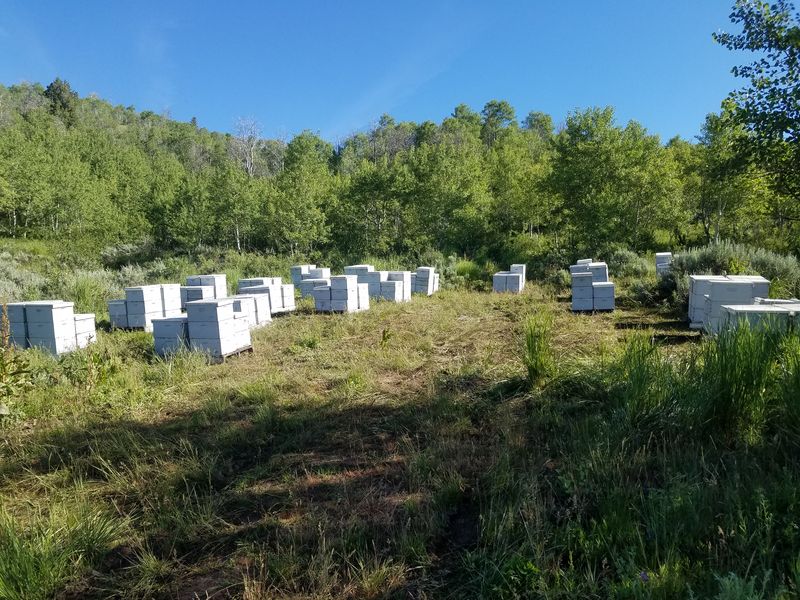
We started hiking up the Twin Creek Road a little before 9:00. It had been open only a few days and there was little evidence of recent use. On the way up we saw where dozens of bee hives had been unloaded, but we didn't see a vehicle until we got to Bubble Spring. At Bubble Spring we were delighted to see why it got the name, as every minute or so a series of bubbles came to the surface! After testing with a lit candle, Dave P. decided the bubbles probably were carbon dioxide.
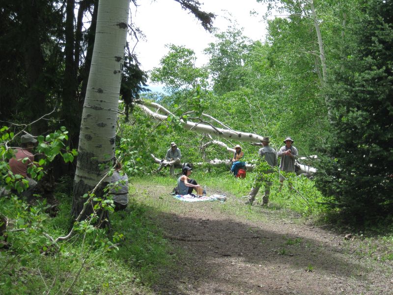
At Bubble Spring a row of boulders across the road marked the end of the motorized Twin Creek Road and the beginning of the non-motorized Bear Hollow Trail (a few years ago the route was used to transport heavy equipment for work on the water system for Tony Grove Campground). About 3/4 mile past Bubble Spring the trail crossed Bear Hollow before coming to the intersection with the Hansen Pond Trail in another 3/4 mile. A large quaking aspen tree had fallen across the road nearby so we took advantage of the easy seating to enjoy lunch before turning back.
This was a pleasant trip. The morning sun was hot but conditions moderated after clouds built up. The vegetation around us was fresh and green, there were no annoying insects, no cattle, and we encountered a moving vehicle on the road only one time. We saw plenty of flowers, including many larkspurs, a few wild hyacinths, wild onions, waterleaf, mule ears, bigleaf balsamroot, and more. Mountain bluebirds entertained us as we hiked down past Bubble Spring and beyond.
Trip Summary:
- Participants:
Dave W. (leader), Kathy, Brent, Teresa, Doug, David
W., Dave P., Jane, Michelle, Dick, Becky, Deanna and
Tawnya.
- Drove
separately 21 miles to the Twin Creek road.
- Started hiking about 8:50, stopped at Bubble Spring 10:50 - 11:20, lunched near Hansen Pond Trail 12:05 - 12:50 and back at the beginning at 3:05.
- Warm
temperatures, light breezes and variable skies.
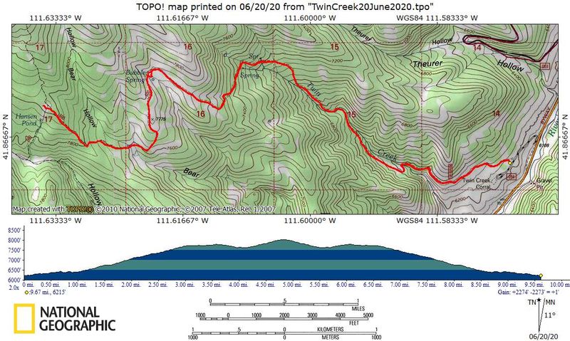
- Our GPS
track shows 9.7 miles with 2000 feet of
ascent/descent.
Thanks to Dave W. for the narrative, photos and GPS data and Jane for photos.
 |
 |
| Parking at the bottom of the
Twin Creek Road |
Dozens of beehives along the
way |
 |
|
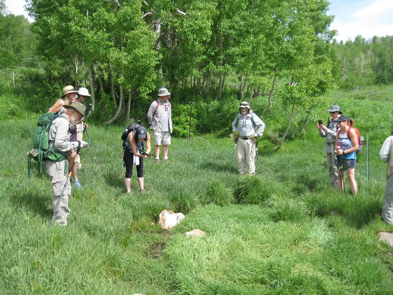
| Socially-distant hikers near the bottom of the Twin Creek Road | |
 |
 |
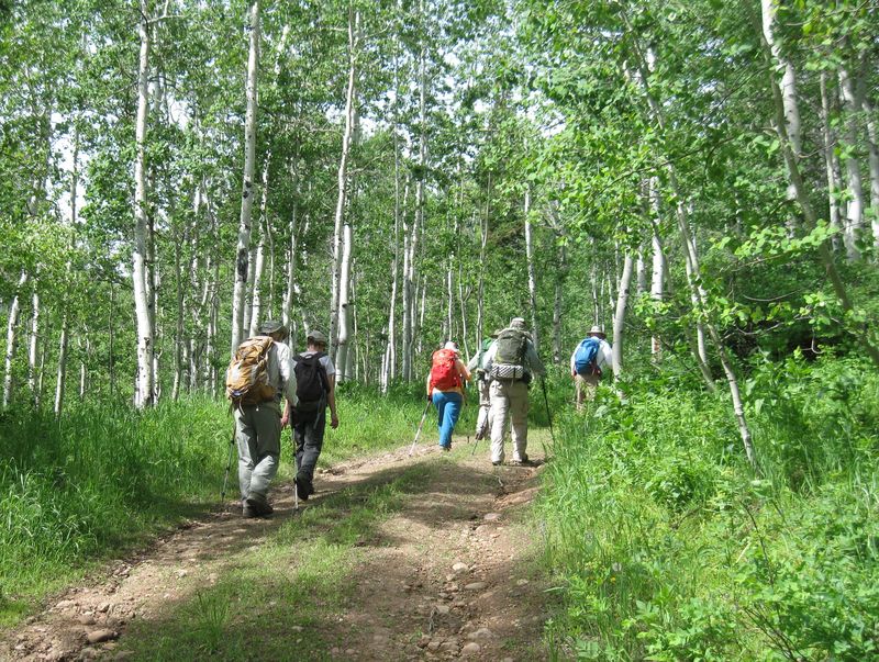
| Hiking on the Twin Creek Road |
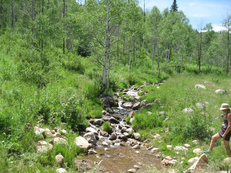
Twin Creek |
 |
|
| Watching bubbles come to the surface
at Bubble Spring |
|
 |
 |
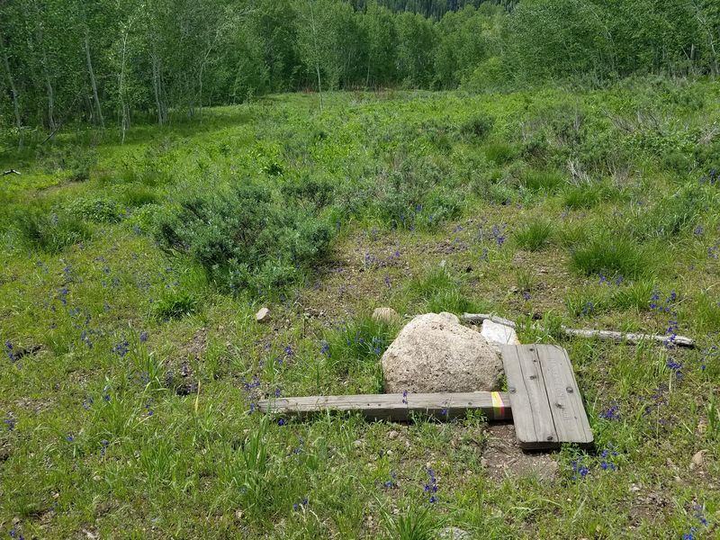
| The Hansen Pond sign was broken |
Lunch at a tree across the Bear
Hollow Trail |
 |
|
|
Our GPS track shows 9.7
miles and 2000 feet of ascent and
descent.
You can look at our route using Google Earth or download our GPS file. |
|