
Home
Wind Cave Way, 8 May 2021
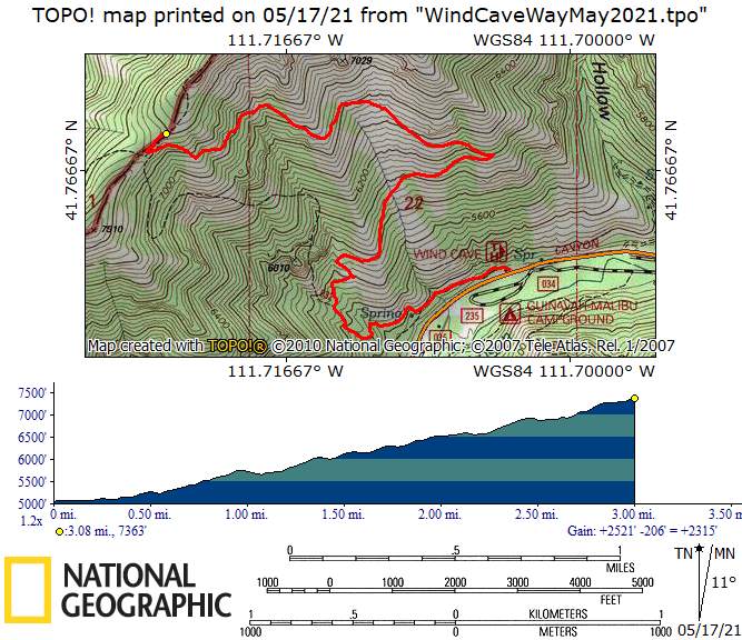
On Saturday, May 8th, we met at the Wind Caves trailhead at approximately 8:30 a.m. Hikers included: Robert, Michelle & David, Dave P., Dave & Jane, Brent, Laurel, Ralph, and Ophelia. Trip leaders were Michelle & David. It was a chilly start due to a cold front that came through the day before. At the Wind Caves and Wind Caves Way junction, about 1 mile up, we forked off to the right onto Wind Caves Way and hiked up to Beirdneau Ridge. While we were ascending, we encountered very blustery conditions, but the ridge was mostly sunny and calm. We ate lunch at 10:50 a.m. on the ridge and the temperature was 47 degrees and sunny. The total hike took 4 hours 37 minutes, we hiked 6.3 miles round trip, and gained 2283 feet in elevation. We saw numerous wildflowers, including bluebells, arrowleaf balsamroot, yellow bells, water leaf, yellow violets, Oregon grape, and some spent steers head. Other plants we encountered included cut leaf balsamroot, larkspur, licorice root, and two different types of Lomatium. We arrived back at the trailhead at 1pm at the temperature was 60 degrees. It was a fun and rewarding hike.
Note: We were pleased to see that someone has put a lot of work into maintaining this trail. It is in MUCH better condition that our May 2017 trip.
Trip Summary:
- Participants: Hike leaders Michelle and David, with hikers Robert, Dave P., Dave W., Jane, Brent, Laurel, Ralph, and Ophelia
- Drove 8
miles to the Wind Cave Trailhead in Logan Canyon
- Started
hiking by 8:30, lunch at the ridge 10:50 - 11:15, back
at the trailhead about 1:00
- Sunny, with cool temperatures and blustery winds
- 6 miles with
2330 feet of ascent and descent (per Dave W's GPS)
Thanks to Michelle for the narrative and photos, Ralph, Ophelia, David and Jane for photos, and Dave W. for photos and GPS data.
 |
|
| Cache Hikers
on the Wind Cave Way Trail |
|
 |
|
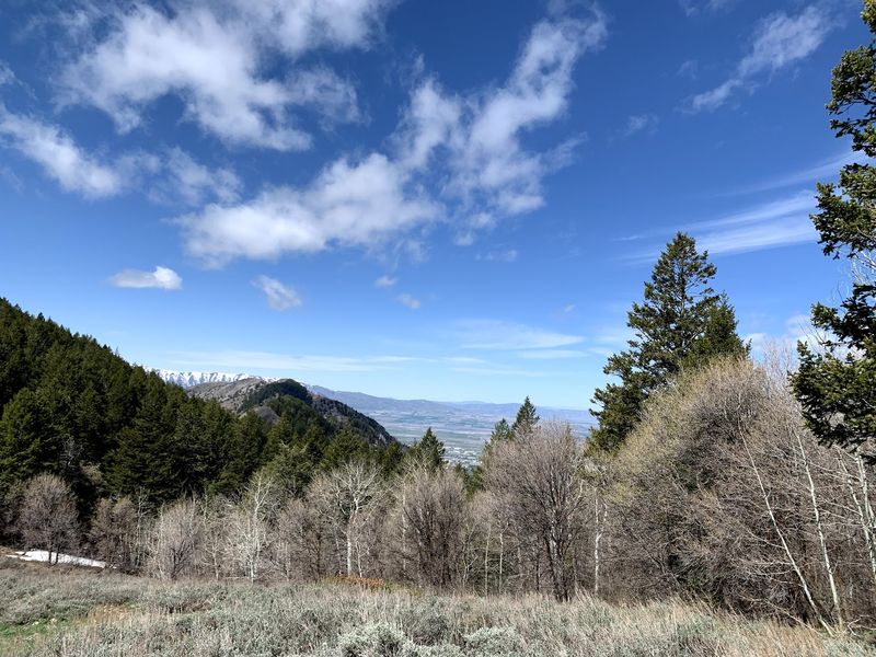
| Logan Canyon
as seen from the Wind Cave Way trail, with the
China Wall cliffs (and Crimson Trail) on the right
|
|
 |
 |
| Hiking the Wind Cave Way trail |
Lunch with a view of
Logan Peak and Mill Hollow |
 |
 |
| A glimpse of Cache Valley from the
ridge
|
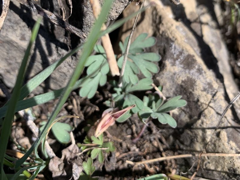
Steers-head bleeding
heart, Dicentra uniflora (past-bloom) |
 |
 |
| Yellow bells, Fritillaria pudica |
Nine-leaf desert-parsley,
Lomatium trinertatum |
 |
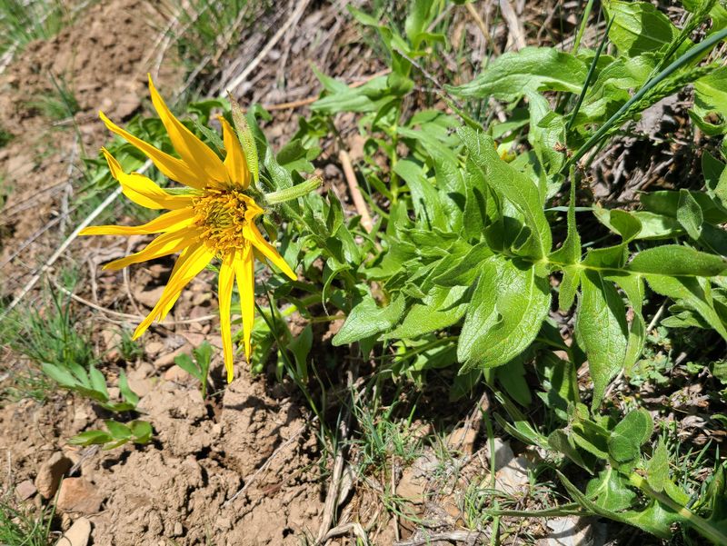 |
| Arrow-leaf balsamroot, Balsamorhiza
sagittata |
Big-leaf balsamroot, Balsamorhiza
macrophylla |
 |
 |
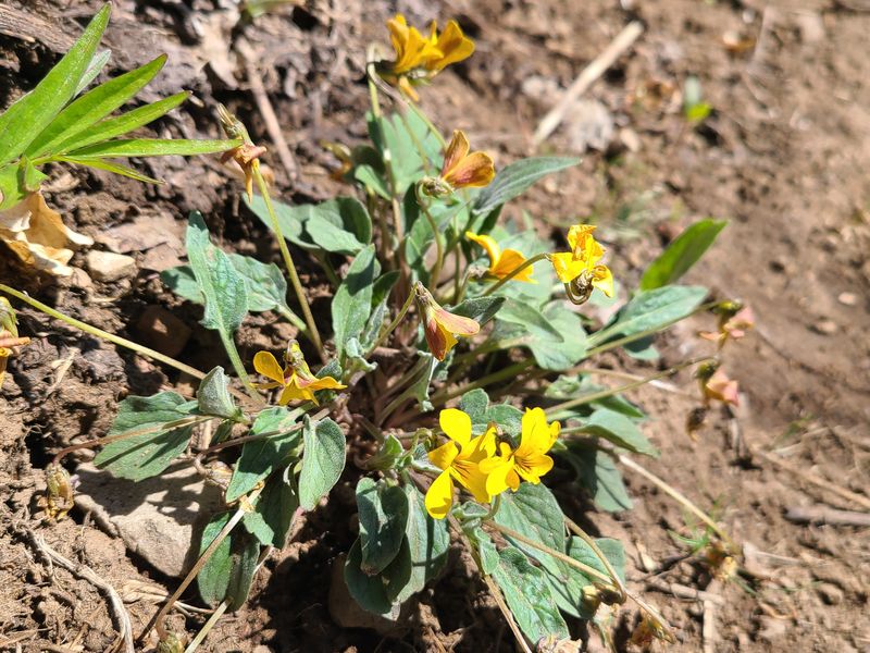
| Goose-foot yellow violet, Viola
purpurea |
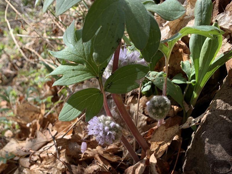
Waterleaf, Hydrophyllum
capitatum |
 |
 |
| Nuttall's larkspur, Delphinium
nuttallianum |
Long-stalk spring-parsley, Cymopterus
longipes |
 |
 |
| Mountain desert-parsley, Lomatium
grayi |
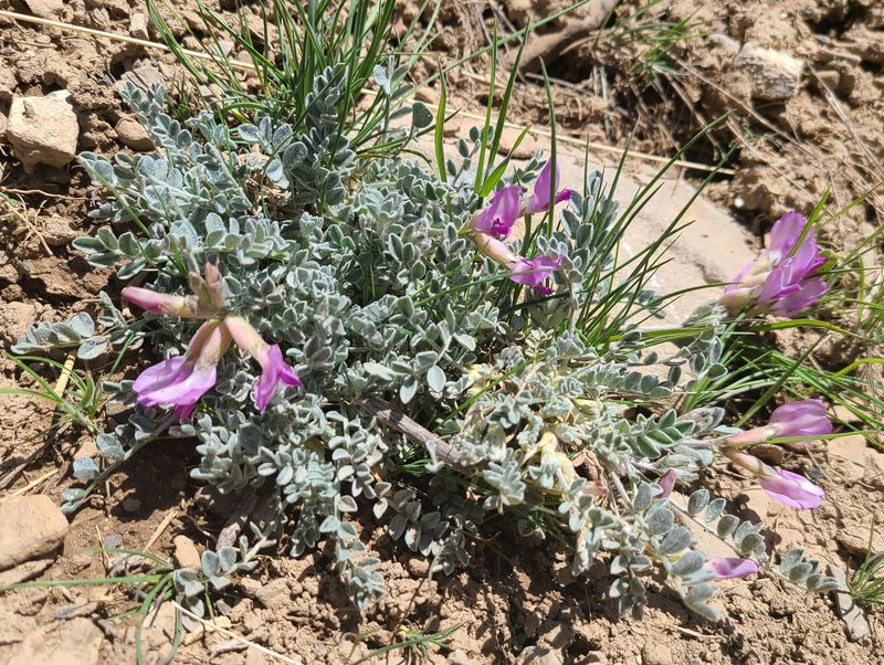
Utah milk-vetch, Astragalus
utahensis |
 |
 |
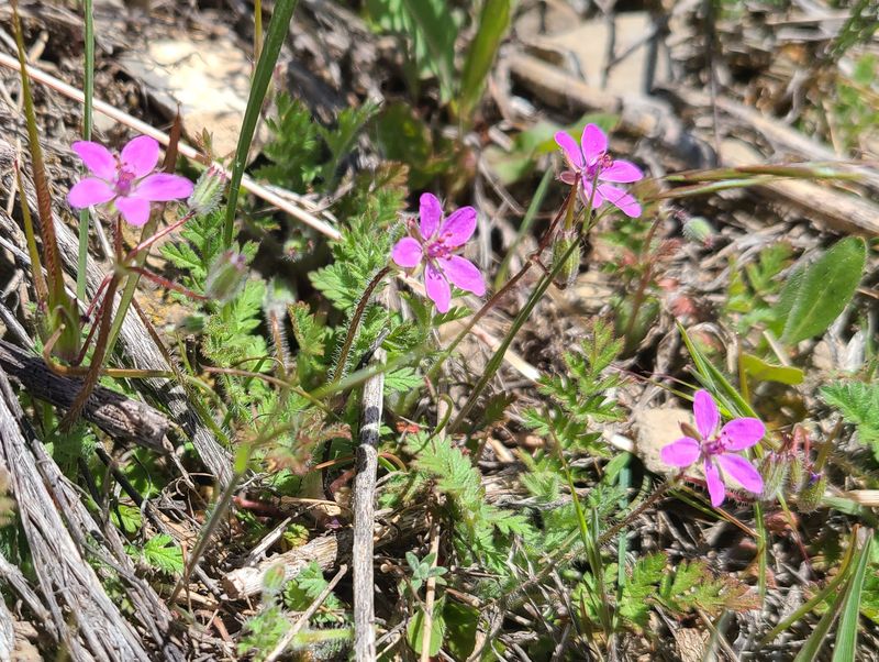
| Red-stem stork's-bill, Erodium
cicutarium |
Creeping Oregon-grape, Mahonia
repens |
 |
|
|
Our GPS track shows 6
miles
(round trip) with 2330 feet of ascent
and descent.
You can look at our route using Google Earth or download our GPS file. |
|